

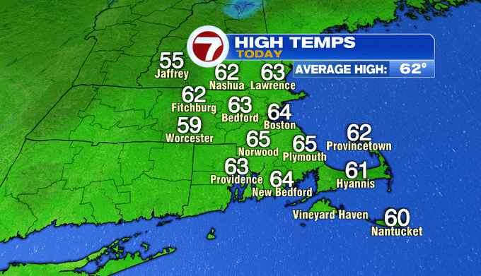
It was nice to see the sun reemerge today! While the wind has backed off considerably after our nor’easter, it was still breezy. The breeze is with us through the rest of the work week.

Colder air will continue to work in above us. That will translate to some cooler temperatures at the surface tonight and through the day tomorrow.

Tonight, temperatures dip into the upper 30s. The wind stays busy out of the northwest tomorrow. Most of the day gusts will be 20-25 mph. That wind direction along with the colder air upstairs will make for a cooler day with highs in the low 50s.


The closer to the coast you are tomorrow, the more you’ll see clouds. The Cape has a chance for a rain shower tomorrow evening through Friday morning. Amounts will be on the lighter side.


Friday morning starts off chilly again in the upper 30s/near 40°. It will be breezy in the morning, but the wind should fade by the evening. We’ll see some sunshine and highs will be near 60°.


The wind will be a factor for the Head of the Charles on Friday. Rowers should expect a headwind for the initial mile and a half of the race.

Finally less wind on Saturday. Sunday is our mildest day with highs in the upper 60s. This is ahead of our next frontal system that brings showers, thunder and some wind on Monday. Another frontal system could be in the pipeline for Wednesday. The American model is most on board with this outcome.

-Meteorologist Melanie Black