

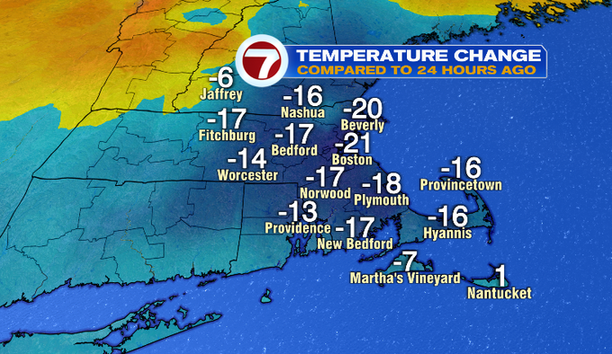
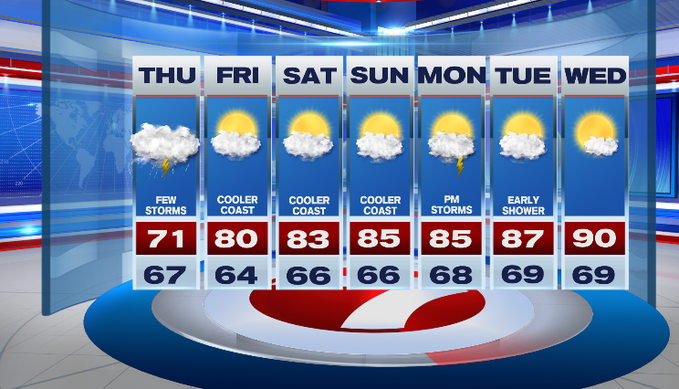
Temperatures felt a lot different today with highs running much cooler! We still kept the muggy air, and that’s not going to change over the next few days. Storms are still in the forecast overnight and part of tomorrow. Friday and the weekend are drier.
A front draped near the South Coast and Cape kept the clouds and isolated showers around today. That front stays put and low pressure along it brings showers and storms through tomorrow.
The best chance for showers and storms will be in the early morning hours and for part of the commute. Some showers linger midday and into the afternoon.
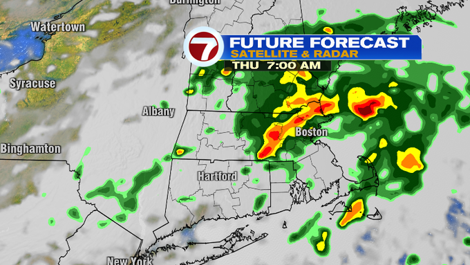
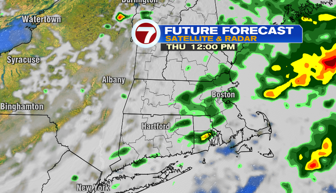
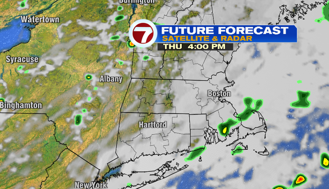
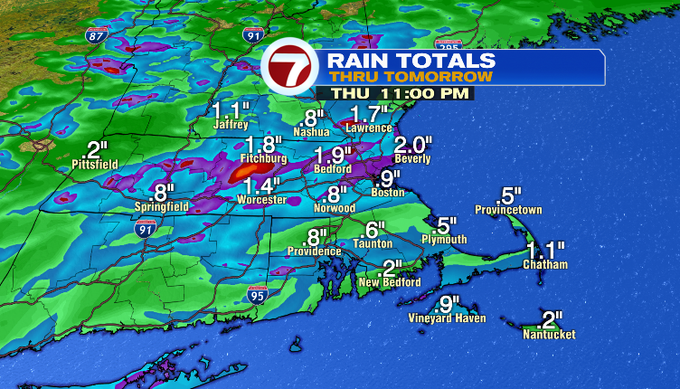
There’s still a lot of moisture in the atmosphere so downpours can be expected. Here’s a look at estimated rainfall totals. It’s not to say these are the exact towns picking up those amounts, rather if you get under a downpour, your town could pick up more.
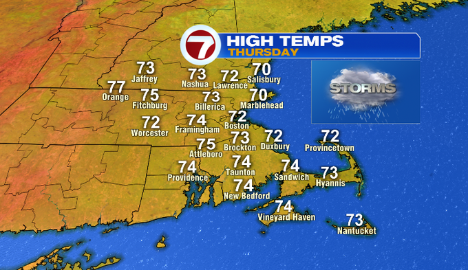
Overnight, temperatures stay in the upper 60s/near 70 with clouds, rain and areas of fog. Tomorrow’s highs won’t budge much with thick cloud cover.
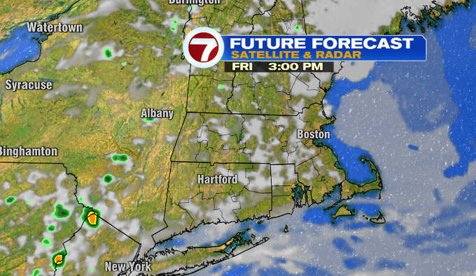
Friday is drier with about a 10% chance for a spot shower. Clouds in the morning give way to some afternoon sunshine. Temperatures will be warmer.
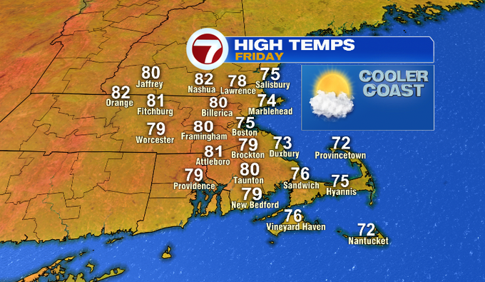
We’ll make a day-to-day climb with our temperatures this weekend. It stays cooler at the coast. The heat returns next week.
-MB