

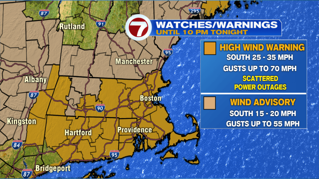
Strong to damaging wind gusts brought down trees and power lines earlier this afternoon, and we’ll continue to see those gusts through at least 7PM before the winds start to weaken.
Overall, peak wind gust reports stretched into the upper 60 MPH range through the early afternoon.
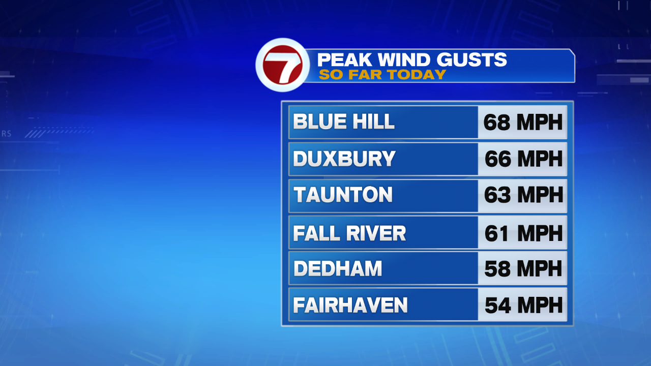
Those impressive wind gust reports brought down trees and power lines across southern New England. Nearly 70 separate reports span across the Bay State, Connecticut, and Rhode Island.

A High Wind Warning still remains in effect until 10PM for most of the Bay State for gusts up to 70 MPH, while a Wind Advisory remains in effect for southern NH for gusts up to 55 MPH.
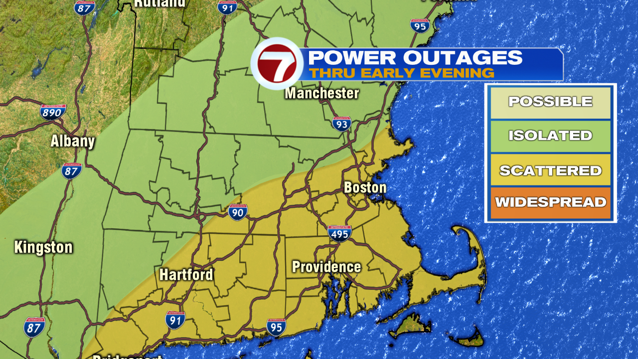
Power outages will be the main impact with these strong to damaging gusts through tonight.
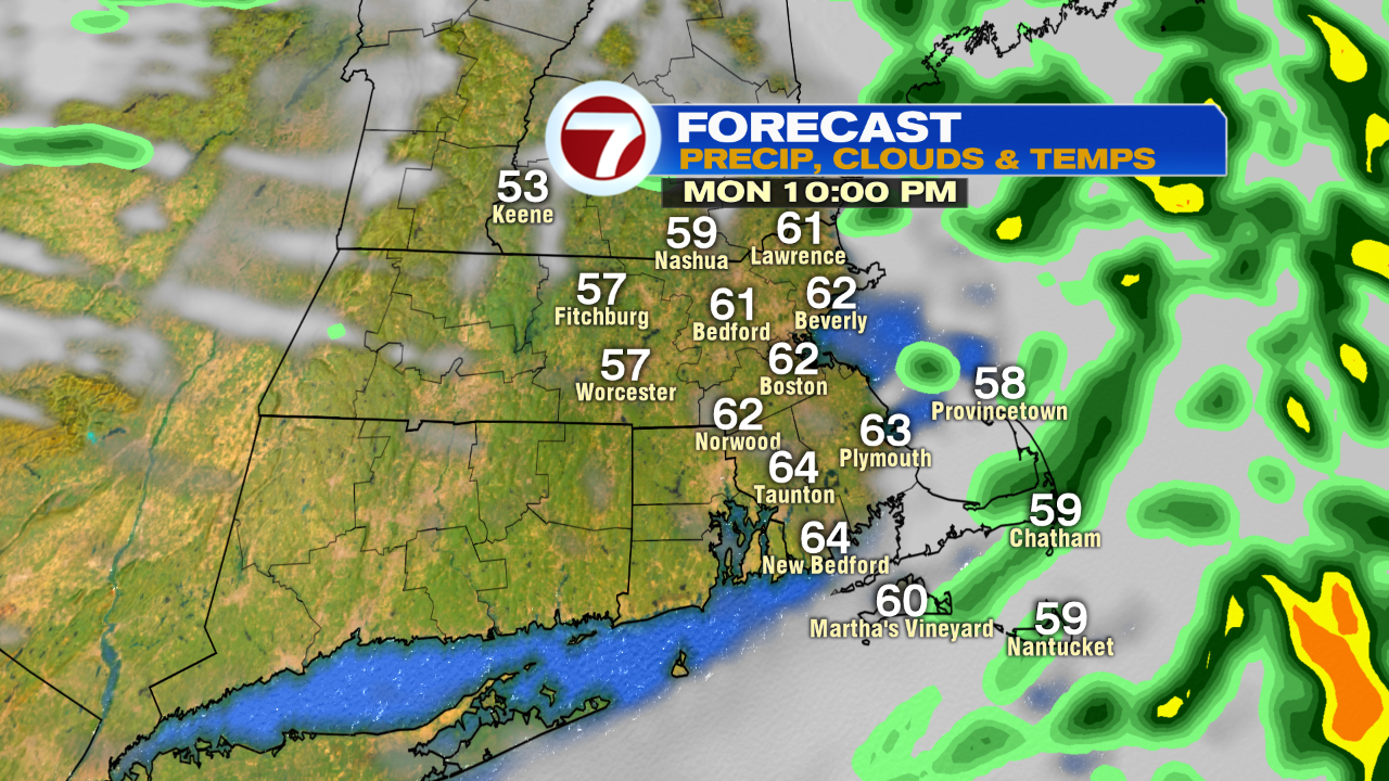
As for the rain, pockets of steady to heavy rain through at least 7PM, with the bulk of the rain sweeping off the coast by 10PM.
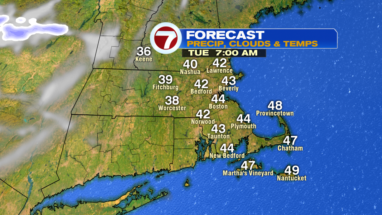
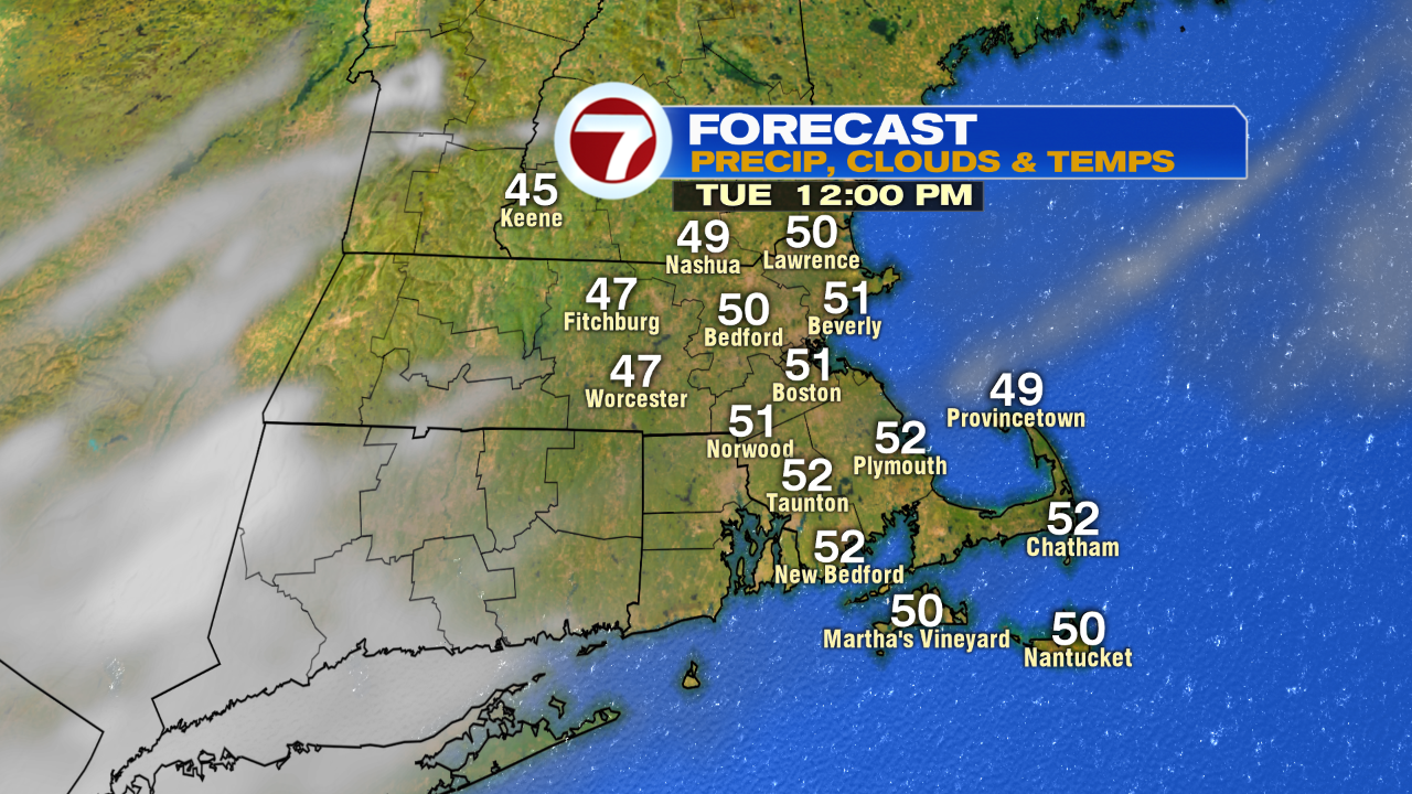
Tuesday brings much nicer conditions back into southern New England, with less wind and mainly sun-filled skies. Highs Tuesday will be around 60!
A few showers possible Wednesday, otherwise we are looking at mostly cloudy skies and highs in the low 50s.
Thursday is the coldest day of the work week, breezy with highs in the upper 40s.
Friday brings partly cloudy skies with highs around 50.
For the weekend, we’re looking at dry conditions Saturday, slightly cooler at the coast with highs in the low to mid 50s under mostly to partly sunny skies. Sunday brings some showers by the afternoon/evening, which will linger into early Monday before moving out.
Next Monday features showers through midday, then emerging sunshine by the afternoon with highs in the mid to upper 50s.