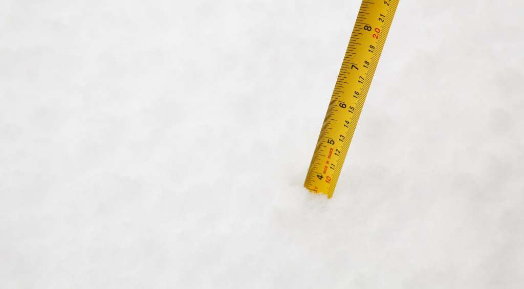
(WHDH) — A major winter storm has already dumped more than a foot of snow in some communities.
Here’s a look at some of the highest snow totals so far, according to the National Weather Service.
Goshen – 17 inches
Waltham – 16 inches
Salem – 15 inches
Hudson – 15 inches
West Newton – 15 inches
Melrose – 14.5 inches
Hudson – 14.5 inches
Newton – 14.5 inches
Whitman – 14.2 inches
Beverly – 14 inches
Marlborough – 14 inches
East Hawley – 14 inches
Milton – 13.8 inches
Wakefield – 13.6 inches
Dorchester – 13.5 inches
Sharon – 13.5 inches
Burlington – 13.2 inches
Bedford – 13 inches
North Reading – 13 inches
Braintree – 13 inches
Belmont – 13 inches
Lynn – 13 inches
Natick – 13 inches
South Natick – 13 inches
Norwood – 13 inches
Walpole – 13 inches
Wrentham – 13 inches
Leominster – 12.8 inches
Chlesea – 12.7 inches
Saugus – 12.5 inches
Acton – 12.5 inches
Lynn – 12.5 inches
Danvers – 12.3 inches
Westfield – 12.2 inches
Worcester – 12.2 inches
Peabody – 12 inches
Wakefield – 12 inches
Randolph – 12 inches
Swampscott – 12 inches
Millis – 12 inches
Hopkinton – 12 inches
Dedham – 12 inches
Longmeadow – 12 inches
Huntington – 12 inches
Foxboro – 12 inches
New Salem – 12 inches
[Snowfall Records] Boston, Providence, and Hartford have broken their records for Dec 17th snowfall! This doesn't include what fell late yesterday. pic.twitter.com/IW6icIIf2r
— NWS Boston (@NWSBoston) December 17, 2020
[12 PM Update] Here's a look at what has fallen across the region so far! https://t.co/k0jS5qpoya pic.twitter.com/CLsgyRSBkd
— NWS Boston (@NWSBoston) December 17, 2020
For more information, click here to visit the 7Weather page.
(Copyright (c) 2024 Sunbeam Television. All Rights Reserved. This material may not be published, broadcast, rewritten, or redistributed.)