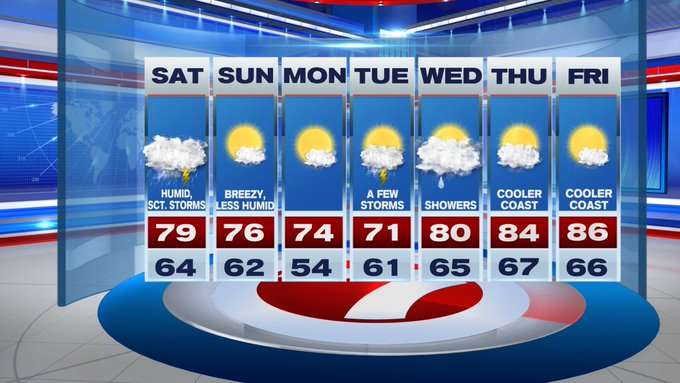
Widespread rain this morning will become scattered by mid-afternoon, before a few embedded thunderstorms and downpours are expected to move in ahead of a cold front to our northwest.
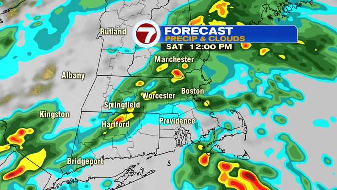
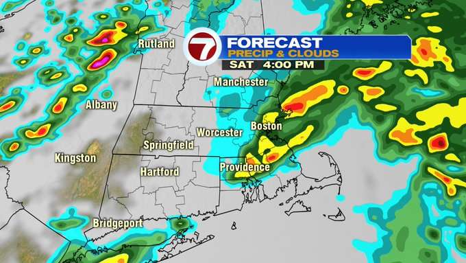
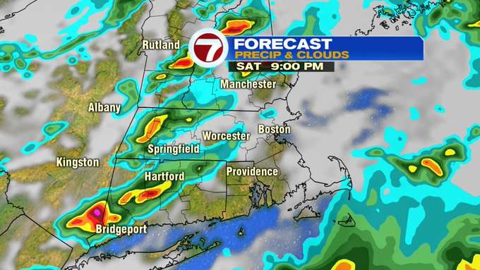
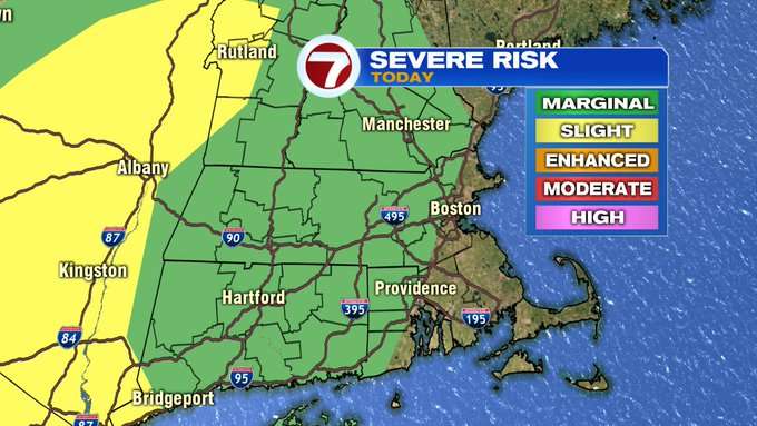
These storms could become on the strong to severe side between 5pm – 9pm with the main threat being damaging gusts, hail, and an isolated tornado is possible.

The Storm Prediction Center has put most of southern New England under a Marginal Risk for severe storms today, west of Boston and the eastern coast of MA, and away from SE MA and the Cape and Islands. For your plans today, just be weather aware and have the 7Weather app nearby to check the radar and updates on weather alerts.
The showers and storms will push out tonight, and we’ll see a gradual clearing of the skies and the humidity, too.

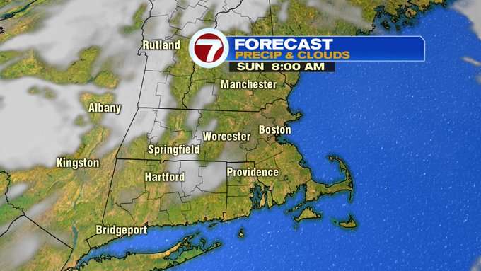
We’ll wake up tomorrow morning to mostly sunny skies and that sunshine sticks around for our Sunday. It will breezy and less humid for your Sunday outdoor plans with highs into the mid to upper 70s.
The low humidity sticks around for the start of the work week. Tuesday brings the next chance for some showers and storms (but, we’re not tracking a washout). A few showers also in the forecast for Wednesday, before a drier pattern returns to end the week along with a warmer pattern with highs into the mid 80s to end the first week of September.