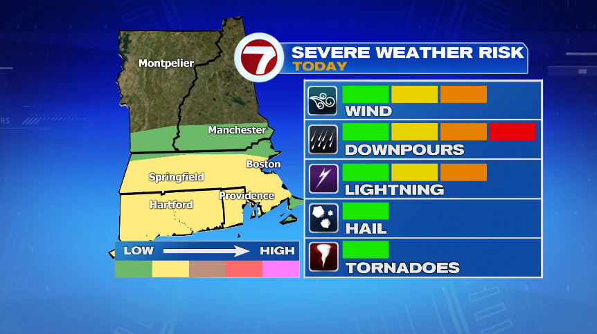
Active weather will continue to roll through New England for the rest of the evening and overnight with the risk of strong to severe storms continuing for the next few hours. Our two biggest threats with these storms will be gusty winds and tropical downpours. The best chance for a strong to severe storm will be south of Route 2 but we’re certainly not totally clear in southern New Hampshire.
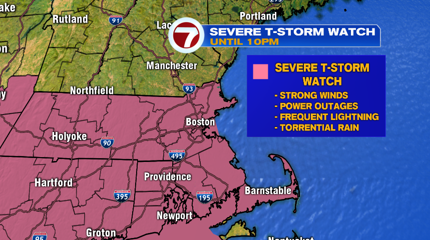
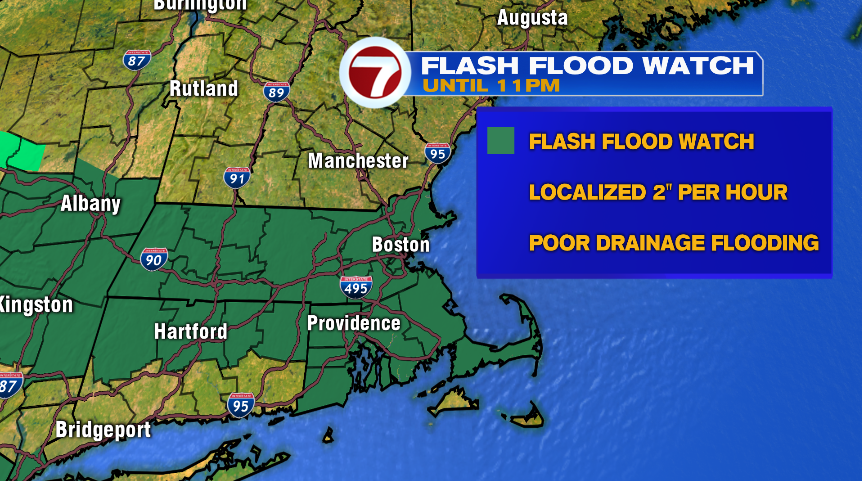
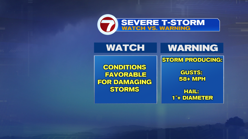
The National Weather Service has issued a Severe Thunderstorm Watch for the areas below (pink) until 10:00 tonight for the strong storm risk. In addition, there is a Flash Flood Watch as some of these storms could, and likely will, bring torrential downpours. Those downpours could lead to localized street flooding with some storms dropping rain at a rate of 2″ per hour! Keep in mind, a watch means there’s just the potential for this to happen. That said, we have already seen Severe Thunderstorm Warnings and Flash Flood Warnings this afternoon, so we know anything that does develop has the potential to be strong or severe or lead to flooding.
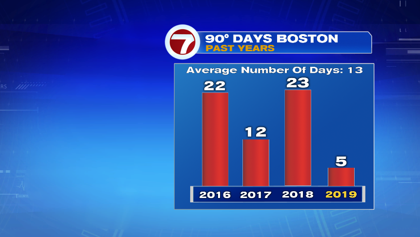
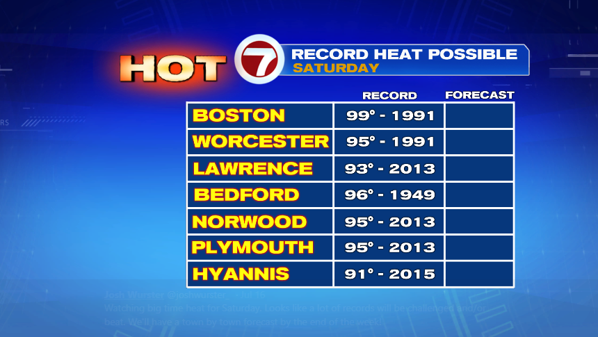
After these storms roll though, we’ll have a cloudy and cool day for Thursday. It’ll still be muggy with scattered showers but enjoy the short break from the heat because we crank things up heading into the weekend. After today’s high of 92°, we’re up to 5 days at Logan and we’ll likely pick up 2 or 3 more through the weekend. Air temperatures, especially Saturday will approach 100° with feels-like temperatures 105° – 110°. Below are the records for Saturday — the hottest day in the stretch, but I think we could certainly break a few Sunday as well.