A Heat Advisory goes into effect at 11AM Sunday and stays in place until 8PM Monday for heat index values between 98° to 103°.

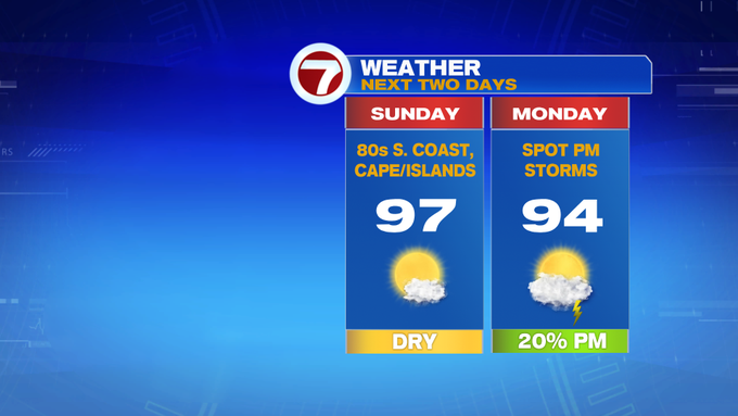
We’re tracking a summer scorcher to end the weekend, but this heat and humidity sticks around to start the work week. Highs for our Sunday will stretch into the mid to upper 90s away from the South Coast and the Cape and Islands where highs will be in the 80s.

Tonight, not much relief from heat as lows only dip into the 70s.
Tomorrow the humidity peaks alongside highs into the low to mid 90s, which is why the Heat Advisory remains in place for Monday, too.

Monday also brings some spotty afternoon thunderstorms as a cold front swings through late day. Some of these storms could be on the stronger side depending on the timing of that cold front.

The cold front ushers in lower humidity behind it, but Tuesday still brings highs near 90° under mostly sunny skies.

Wednesday and Thursday are cooler with highs into the mid 80s coupled up with chances for showers/storms (but we’re not tracking a washout).


Friday is dry and sun-filled with highs into the low to mid 80s as we cruise into next weekend into the 80s, too.
