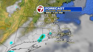
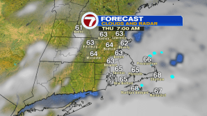
Similar to the day today, tomorrow features some patchy fog early, but then we see breaks of sunshine by the afternoon with a seabreeze keeping temperatures slightly cooler at the coast.
As for overnight, we’ll see the patchy fog developing, a few misty showers cannot be ruled out, but these will be less “hit” and more of a “miss”. Lows slip back into the upper 50s to low 60s, with winds mainly light and variable.
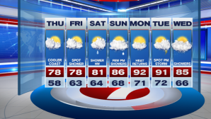
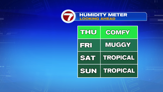
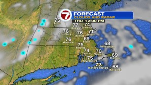
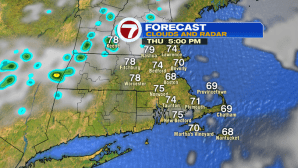
Thursday features comfortable conditions, clouds move out by midday, giving way to more sunshine through the afternoon. Highs will be in the mid to upper 70s to low 80s.
Friday is bit more muggy, with a few more chances for showers, but we are not tracking a washout. Isolated showers through the weekend, but again, both weekend days are not washouts either, and we’ll likely see more dry times than wet. High temperatures will also be on the rise through the weekend, with temperatures into the low to mid 80s, with Sunday being the warmer of the two.


The heat and humidity return with highs into the low 90s as we kick off the work week…seems like the summer heat wants to show who is boss as we enter the third week of August. As a cold front slips in late Tuesday, that could fire up a few afternoon thunderstorms, followed by shower chances next Wednesday. Highs next Wednesday likely to fall short of the 90s, back into the low to mid 80s.