Ah yes…the annual hot stretch of weather has arrived and is here to stay for a bit. Temps reached the low to mid 90s this afternoon but the heat index (mashing the temperature and humidity through a complex equation to get a *Feels Like* temp) was around 98 degrees…

Haha….we see you Nick & Drew but stay in your lane.
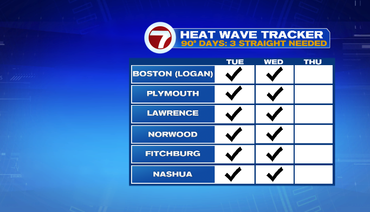
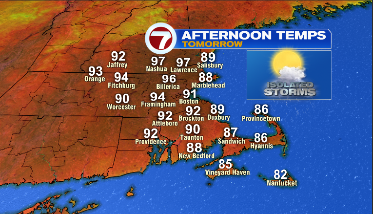
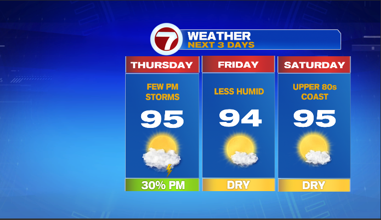
Reaching the 90s for the second consecutive day means we are one day closer to our first Heat Wave of the season. Recall, that a heat wave is 3 consecutive days of temps reaching at least 90 degrees. For many, it is a foregone conclusion that tomorrow (Thursday) we’ll have a heat wave. Here are the forecast high temps for the region…

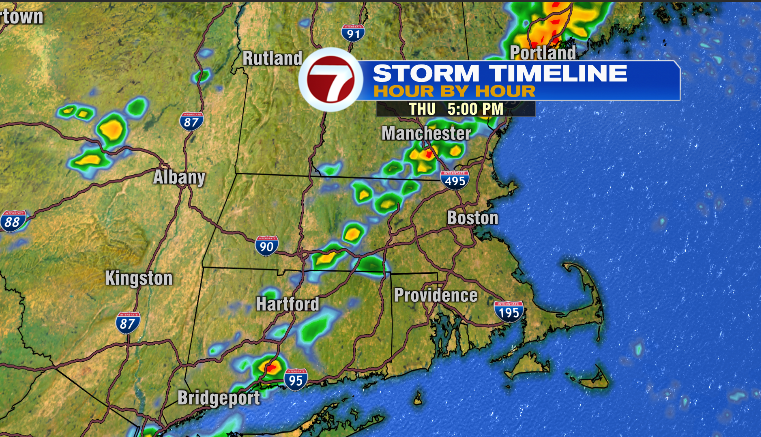
Yowza. That’s hot and when you factor in the humidity, it will feel closer to 100. Double Yowza. You also see that little *isolated storms* icon underneath the sun. I do think there could be a pop-up storm late tomorrow afternoon and evening for towns along and north of the Pike thanks to a weak system pressing into the aforementioned heat/humidity.
That weather system will act more like a Texas dryline and temporarily bump the oppressive humidity out of New England…
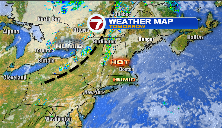
…What it won’t do is lead to cooler temps. For Friday (and Saturday for that matter), afternoon temps will once again soar into the 90s..
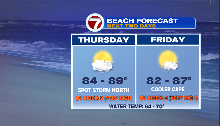
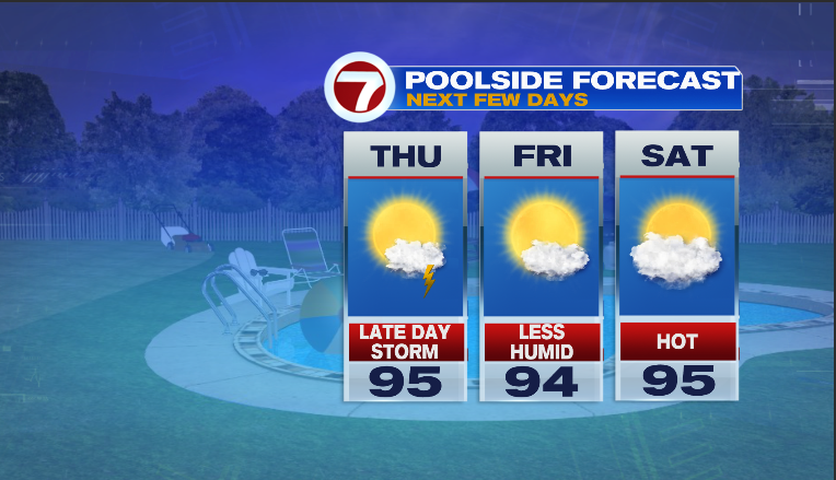
Stay cool, limit outdoor exposure if you can and if not, stay hydrated throughout the day. otherwise, enjoy the beaches & pools!
Peace out
~JR