After a warm, but comfortable weekend, we really ramp up the heat and humidity this afternoon as dew points jump into the mid to upper 60s and highs topple 90 degrees for many. Combine the two ingredients (heat and humidity) and the heat index, what it feels like outside, will run close to 100.


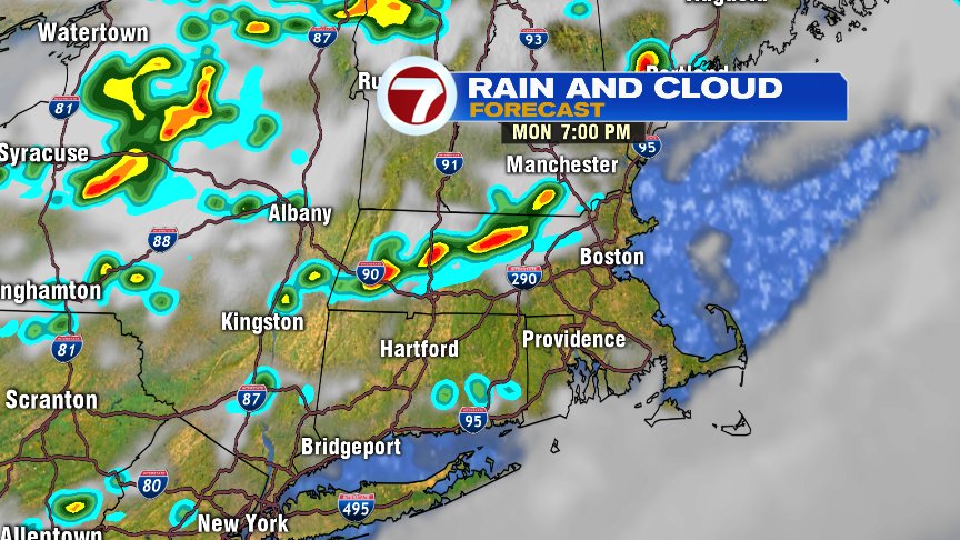
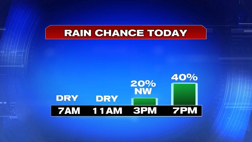
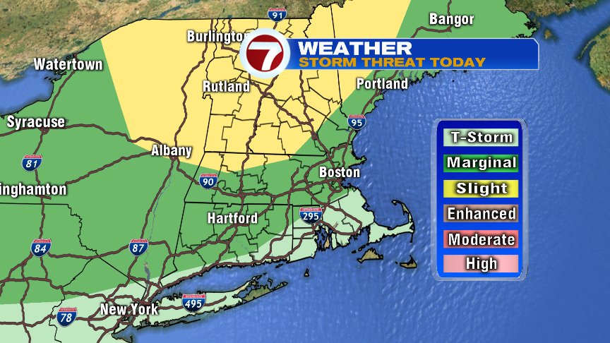
I’d say anytime after 4pm it’s fair game for isolated to scattered storms to develop across the area. Storms will be hit of miss, but the towns that do get hit may see localized downpours, gusty winds and cloud to ground lightning. The highest risk of severe weather is northwest of 495, but one or two stronger storms may find their way closer to the city of Boston late in the day as well.
In terms of the high heat and high humidity, we’re one and done. Temps closer to 80 with lower humidity return for the rest of the week with limited rain chances through Saturday.
Stay hydrated and stay cool today. We’ll keep you updated on any storms later today on air and online.
@clamberton7 – twitter