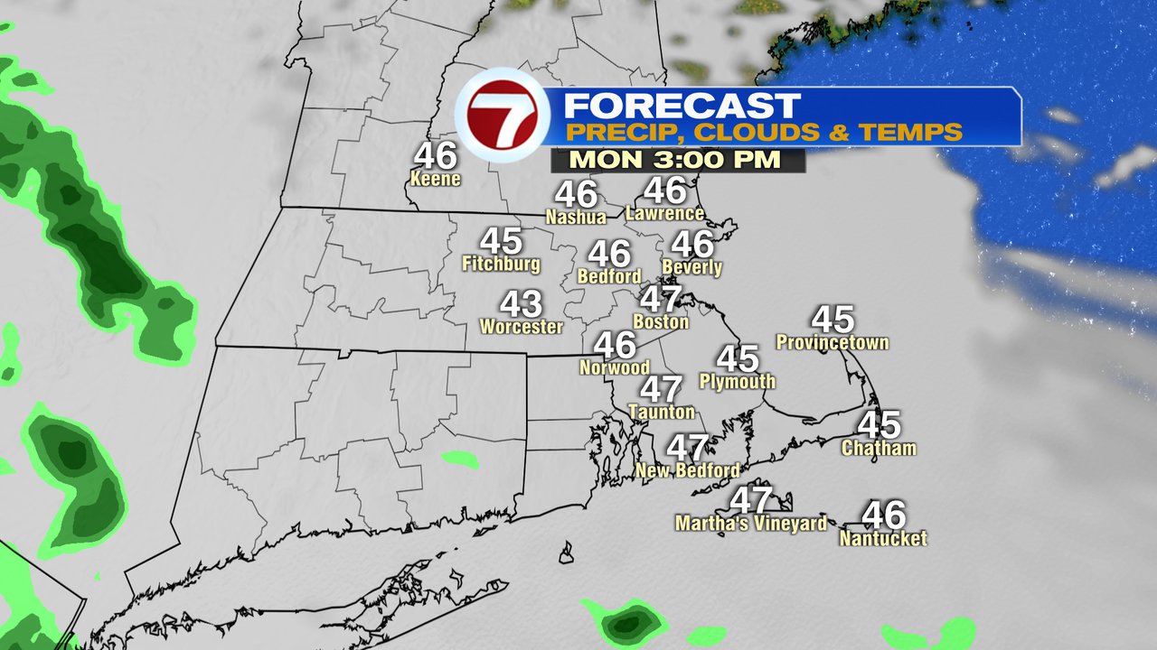
After a fantastic start to the weekend, the bottom fell out on Sunday as temperatures crashed back into the 40s and have stayed there overnight, into this morning. Clouds limit the breaks of sun we get today and with those mostly cloudy skies, will come the occasional light shower or patchy drizzle. It won’t amount to much, couple one hundredths of an inch or less, but it will dampen the ground at times. The chill remains through the afternoon too, with highs only in the mid to upper 40s.
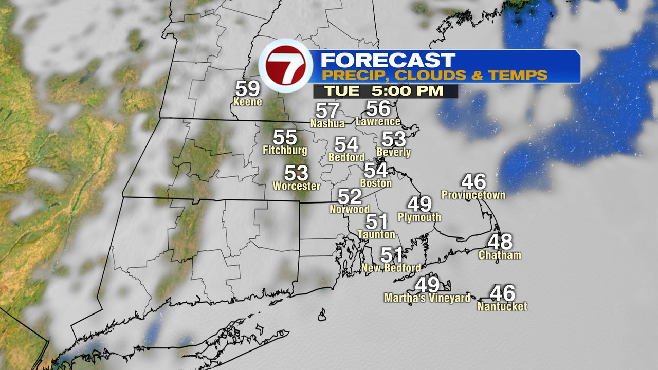
Tomorrow is a bit better, with highs in the 50s and mostly to partly cloudy skies. Temps warm up a bit Wednesday inland, near 60 there.

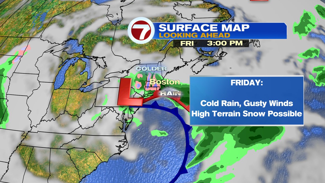
The next best chance for beneficial rain comes in Friday. As an area of low pressure slowly moves off the mid-Atlantic coast and just south of New England, it’ll provide an opportunity for a widespread windswept soaking rain. It’ll be a cold rain too. In fact, across the interior of Southern New England, if the precipitation is heavy enough, some wet snow is possible too. We’ll keep you updated on that storm potential as we go through the week.