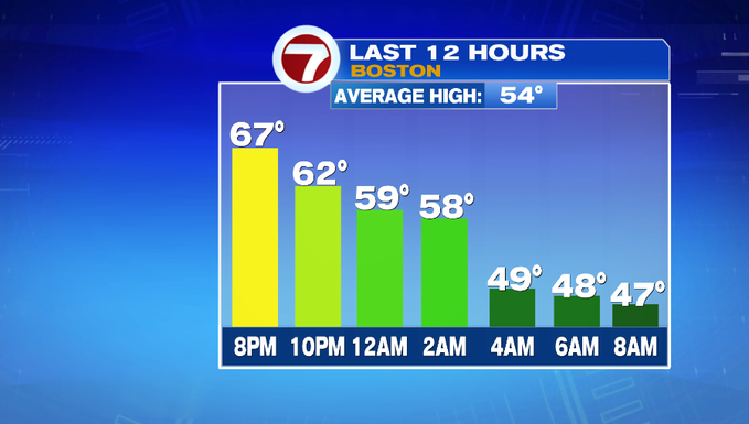
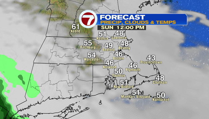
We’re starting off our Sunday morning with clouds, fog and cooler temperatures. A backdoor cold front has slid in from the northeast and continues to push southwest, dropping temperatures into the 40s through late morning.
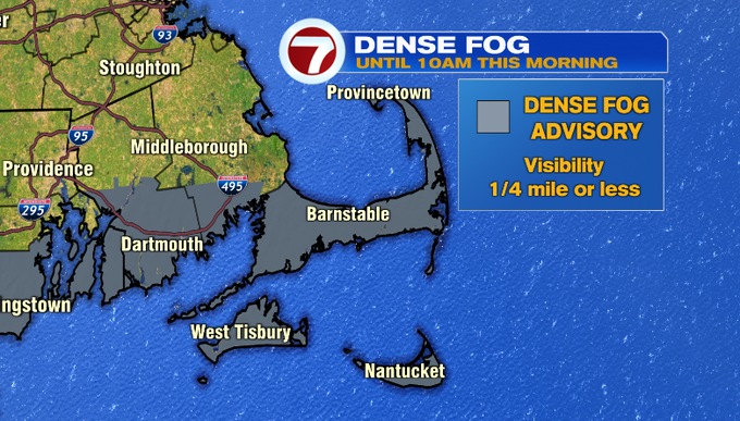
A Dense Fog Advisory is in place for the South Coast and the Cape and Islands until 10AM for visibility could be reduced to less than a quarter of a mile.
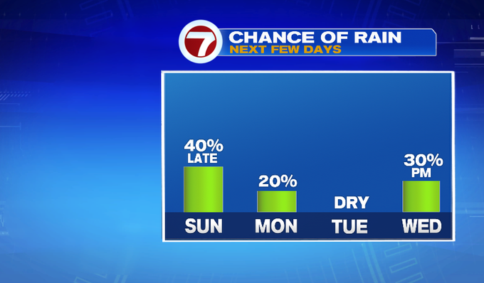
Today, the bulk of the day is dry, ahead of some showers that push in from our southwest associated with a system that is impacting the Great Lakes region. Today is not a washout, but it will be noticeably cooler with a chilly northeast breeze under cloudy skies.
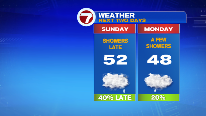
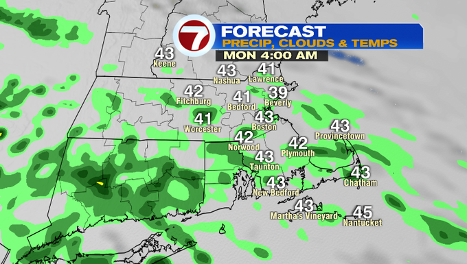
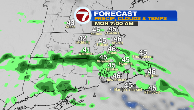
The showers hold off until around dinner time, so if you have errands to run, you have time. These will be light showers and will be scattered through the overnight into tomorrow morning’s commute.
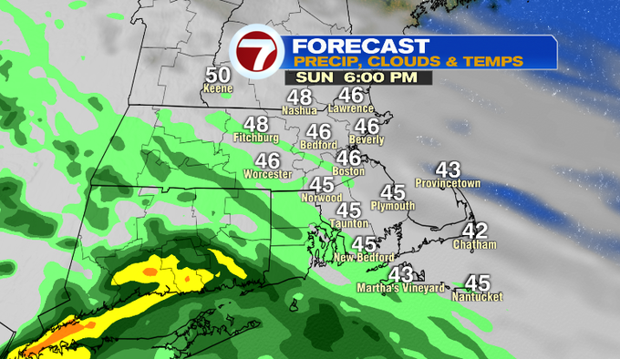
Rainfall totals will be between a tenth of an inch to a half inch, so not a soaking rainfall.

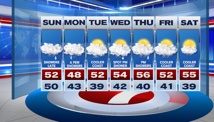
We do have more rain chances in the 7-day forecast, but similar to this evening with drizzle to light rain at times Monday, Wednesday and Thursday, but every little bit of rain helps with our rainfall deficit which has topped out over 2.5″ for Boston, over 3″ in Worcester for the spring season so far (since March 1st).
Our 7-day forecast is dominated by clouds, a steady northeast breeze keeping high temperatures in the upper 40s to low to mid 50s through midweek (typical April weather). Some partly sunny skies return by next weekend.