

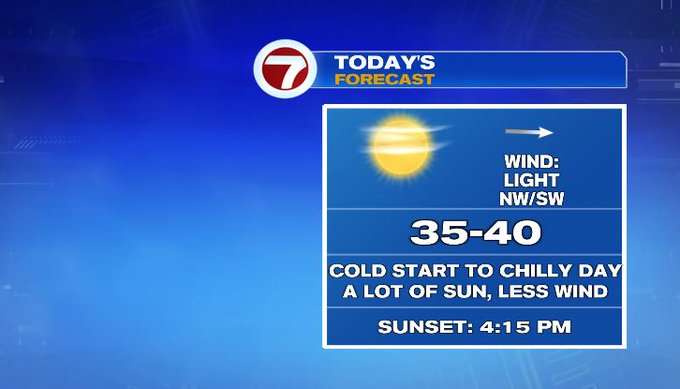
It feels like winter this morning! This cold start will lead to a chilly day. Luckily, we’ll have a lot of sunshine and light wind. Tomorrow temperatures are closer to average before rain arrives at night and lingers into Monday morning.
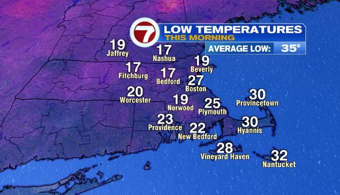
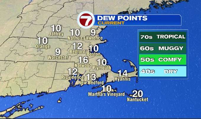
How about those temperatures this morning? Temperatures fell into the teens and 20s. That cold and very dry air rushed in overnight. Dew points are near 10 degrees. You might be reaching for more chapstick this morning!
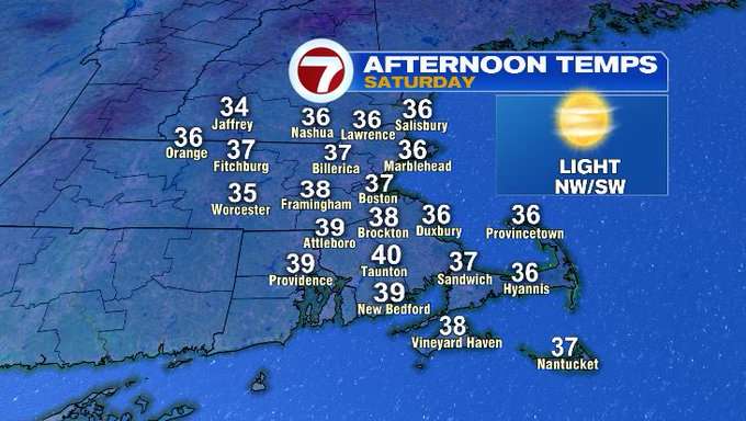
High pressure is nearby so that will bring us a lot of sunshine and light wind today. We’ll see some high clouds later on. High temperatures only recover to the mid/upper 30s.
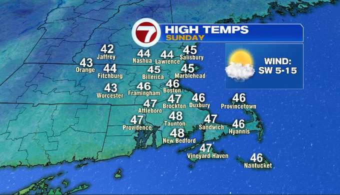
Sunday will be another cold start, just not as big of a temperature drop as this morning. We’ll wake up in the mid/upper 20s. Then temperatures will rebound on a light southwest breeze to the mid/upper 40s. Clouds will thicken through the day ahead of rain moving in at night.
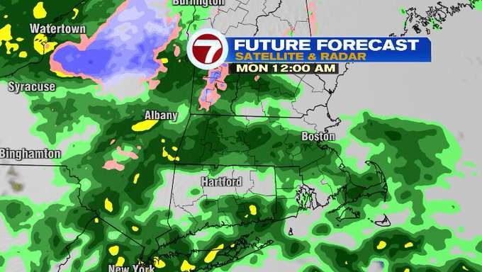
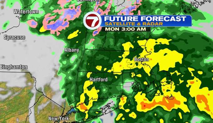
Sunday will stay mainly dry. An area of low pressure will develop to our south and a cold front will move in from the west bringing rain to our region late Sunday. The rain arrives after 10 pm to midnight. The heaviest rain will fall overnight while most of us are still sleeping. As of now, it looks like the rain will taper around 7-8:00 am Monday. Rainfall amounts for most of us will range from .50-1.0″. The wind will also get gusty overnight into Monday, especially for Cape Cod and the Islands.
Next week stays mainly quiet outside of a flurry possible Tuesday. It will be chilly and breezy!
-Meteorologist Melanie Black