

7Weather- Hope you got to enjoy the sunshine today. The bright skies helped a lot of us get into the upper 40s this afternoon. That’s just slightly above average. It’ll look and feel different tomorrow and Sunday. Clouds roll in, temperatures stay in the 30s and there’s a chance for snow. Hello December feel!
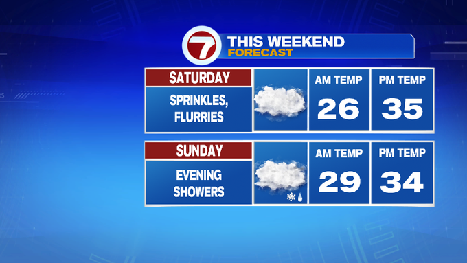
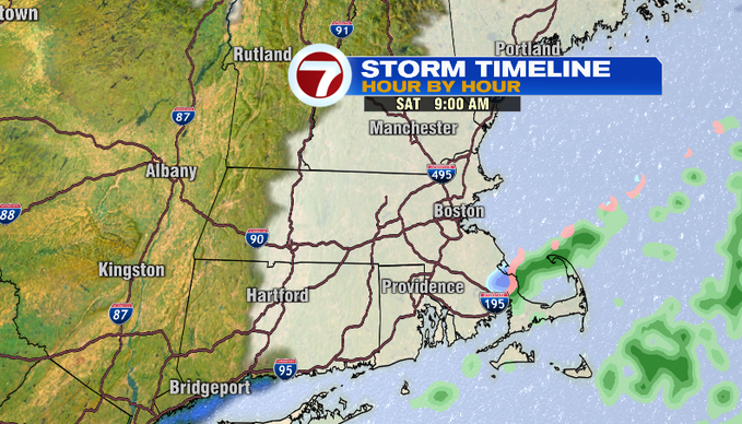
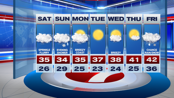
Saturday- The high pressure system that brought us abundant sunshine Friday will shift and its position will promote a northeast wind. This will bring in moisture off the ocean. We’ll see sprinkles and flurries at times tomorrow along the South Shore, Cape and Islands. It will not be impactful. Saturday evening, you might see what we like to call “festive flakes” in the sky. For the rest of us inland, we’ll see clouds throughout the day. Temperatures will be stay in a range of 34-39 degrees with a NE wind 10-20 mph.
Sunday- Clouds are still around. There’s still a NE wind. If you’re in Plymouth County west of Route 3, you could wake up to a dusting of snow on grassy areas. Low pressure moves across the Ohio Valley and then dips south. It will weaken as it gets closer to us, so it will have minimal impacts, maybe just make roads a little slick in and around Worcester County late Sunday and overnight. We think there could be a coating to an 1″ for locations along 495 and west.
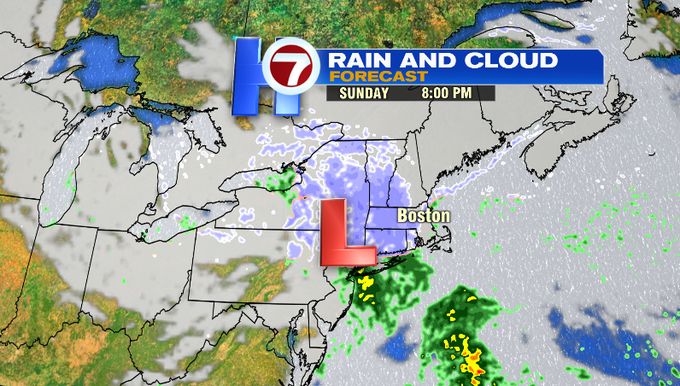
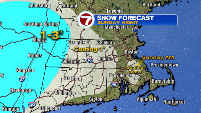
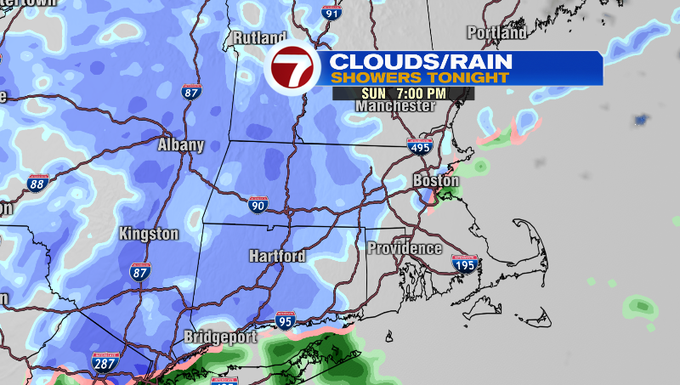
The show showers come to an end by Monday morning. The next seven days features a lot of days stuck in the 30s. Plenty of dry days and breezy at times. Looking ahead, there’s a chance of rain and snow at the end of next week.
Have a great weekend!
-Melanie Black