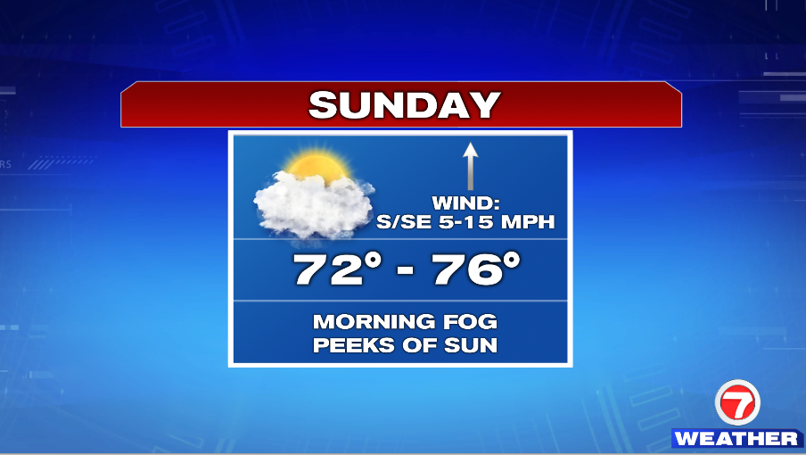
7Weather- Sunday won’t be as bright as Saturday, but it is still looking like a nice weather day.
Sunday will start with fog and cool temperatures in the 40s and 50s. As the morning fog begins to burn off, clouds will move in ahead of a warm front that lifts through the region. We’ll call the day mainly cloudy, with a peeks of sun here and there. Highs reach into the mid 70s inland, and in the low 70s at the coast.
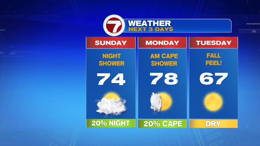
There could be spotty showers after sunset, but most areas remain dry.
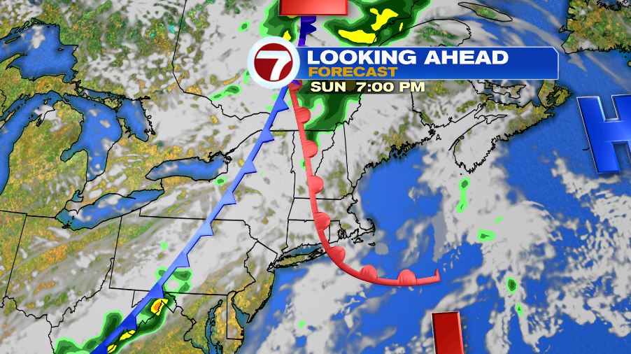
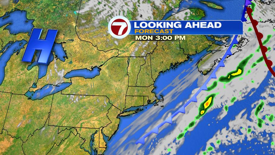
Monday starts cloudy as a cold front lingers in the area, but it gradually clears up. The day starts muggy, but humidity quickly drops by lunch time. Highs reach into the upper 70s.
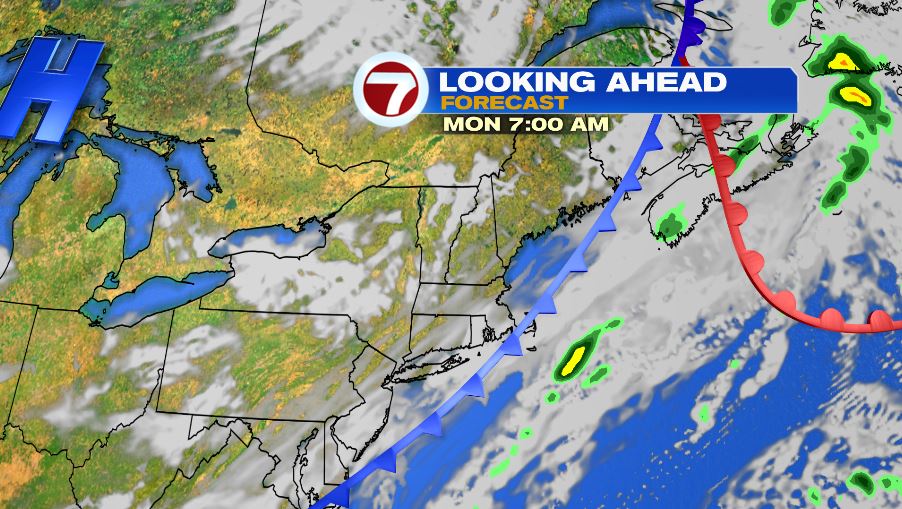
That cold front gives us back the fall feel, even more so than today. Highs at the coast will be in the low 60s, and in the mid and upper 60s inland.
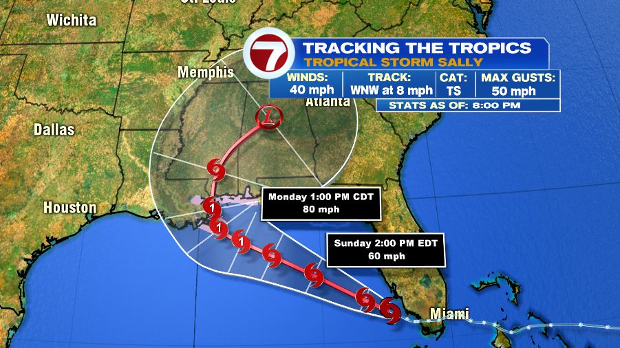
Tropical Storm Sally formed this afternoon. It is in the development phase tonight, and is expected to strengthen into a category 1 hurricane on Monday, before making landfall in southeast Louisiana. It is a slow moving storm, so the two greatest impacts will be heavy rain/flash flooding, and storm surge.