The only hiccup to our tranquil and quiet Friday morning is the fog that is reducing visibility for portions of the area, mainly in SE MA and along the South Coast. This fog will lift through mid-morning, giving way to mostly sunny skies region-wide.
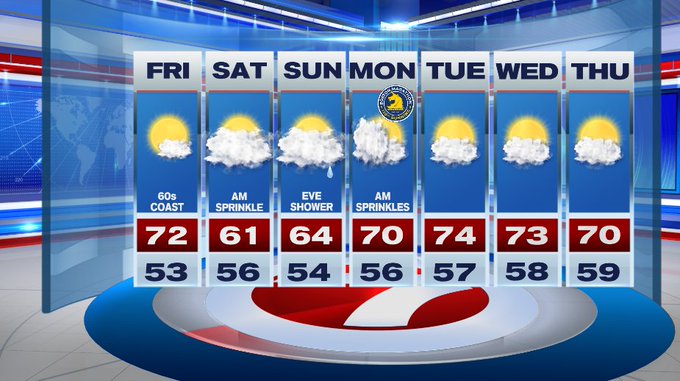
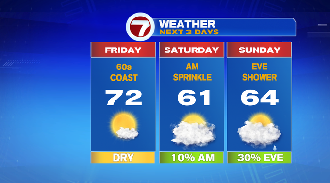
With mostly sunny skies in the forecast for your Friday, highs will stretch into the low 70s inland, 60s at the coast due to an onshore breeze that develops this afternoon.
Later this evening, we’ll see increasing clouds which will keep the overnight lows on the mild side, in the upper 50s to low 60s.
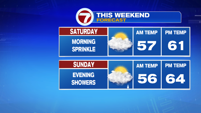
The clouds stick around for our Saturday and we could even see a few sprinkles Saturday morning.
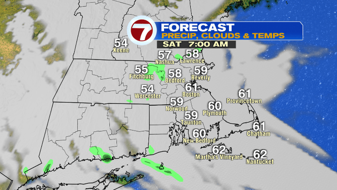
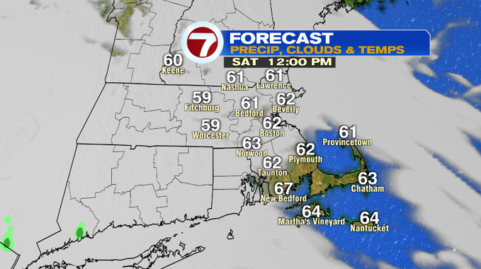
Other than that sprinkle chance tomorrow morning, the rest of our Saturday will be dry. It will be noticeably cooler with highs in the low 60s.
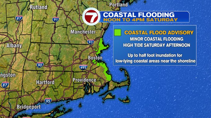
Also for Saturday, there is a Coastal Flood Advisory in place for the North Shore and the South Shore around high tide tomorrow afternoon. Minor flooding is possible for low-lying coastal roadways which could lead to some road closures.
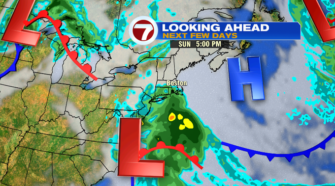
Sunday will also see highs in the low to mid 60s under mostly cloudy skies. A low pressure system to our south will advance closer to southern New England and will throw a few showers our way Sunday evening.
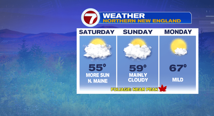
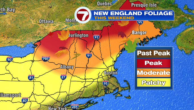
If you are heading up north for the holiday weekend to check out the fall foliage, the weather is looking great for your photos.
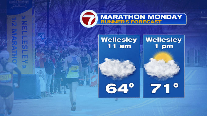
A few lingering showers are possible, but mainly south of Boston Monday morning. The clouds will linger for the Boston Marathon and then we should see some partial sunshine later in the afternoon.


High pressure returns for the middle of the work week along with highs in the low to mid 70s.