

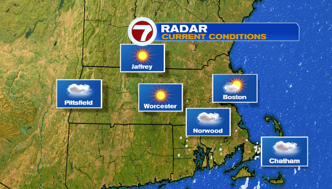
Anyone have a little extra pep in their step this morning? The sun finally returned! This weekend we’ll peel back the cloud cover with brighter skies by the end of the weekend and into early next week.

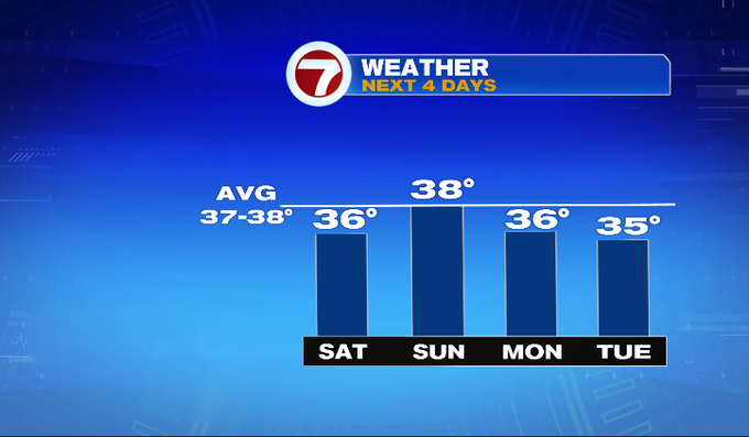
About that sun, it depends where you are today. If you’re in towns south of Boston, the clouds will linger longer, especially across Cape Cod. We’ll call today partly cloudy. That’s an improvement over the past week! After a cold morning, temperatures will be closer to average today in the mid/upper 30s. We’ll keep a breeze out of the north/northwest and that will make it feel chillier throughout the day.
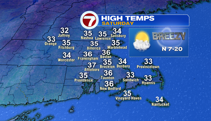
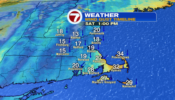
Sunday will be brighter from start to finish! High temperatures will be a couple degrees higher and average in the upper 30s. Except a lingering cool breeze.

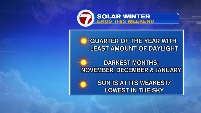
Not only will this weekend bring the return of sun, but also the return of 5:00 pm sunsets! This weekend also marks the end of Solar Winter.

Looking ahead, it’s a quiet and drier pattern. Toward the end of the week, temperatures will rebound into the 40s. A storm with an inland track could bring us rain/snow showers Friday night into next Saturday.
I want to give a weekend weather shout-out to the third grade students and teachers at Nelson Place School in Worcester! We talked all things weather this week. Since it was a week of clouds, the students shared their own forecasts for a cloudy day in front of the green screen. It was a fun visit!

-Meteorologist Melanie Black