Well, we talked about it all week, how the heat will peak today. That forecast remains the same as highs soar this afternoon, into the low to mid 90s. Along the south coast, it’ll be noticeably cooler, 70s to low 80s there. While most of your pool/beach day turns out to be dry, there will be a few isolated pop-up showers/thunder that only 10-20% of us catch. They’ll be brief too. Dew points today run in the 50s where temps reach the 90s, so it’ll be hot, but not oppressively humid. Temps hover around 80 for the towns/cities that have fireworks around 9pm this evening. Enjoy!

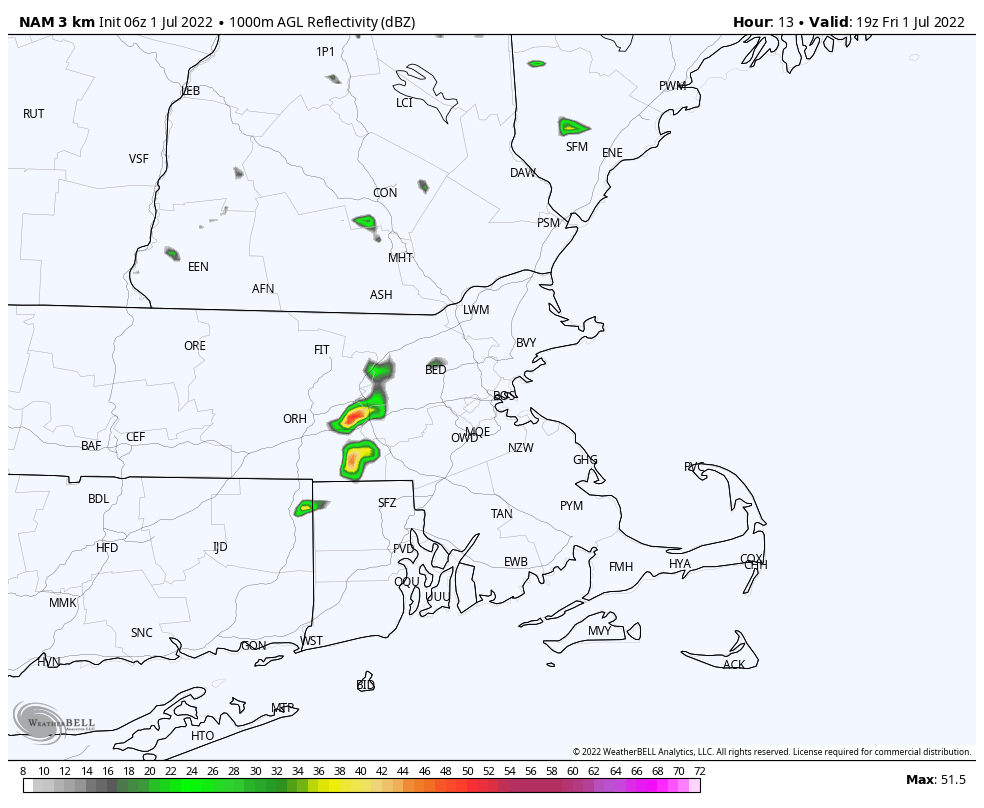
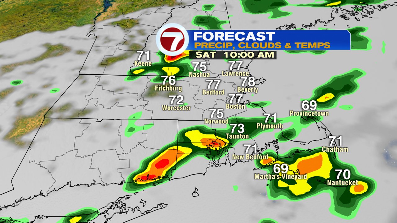
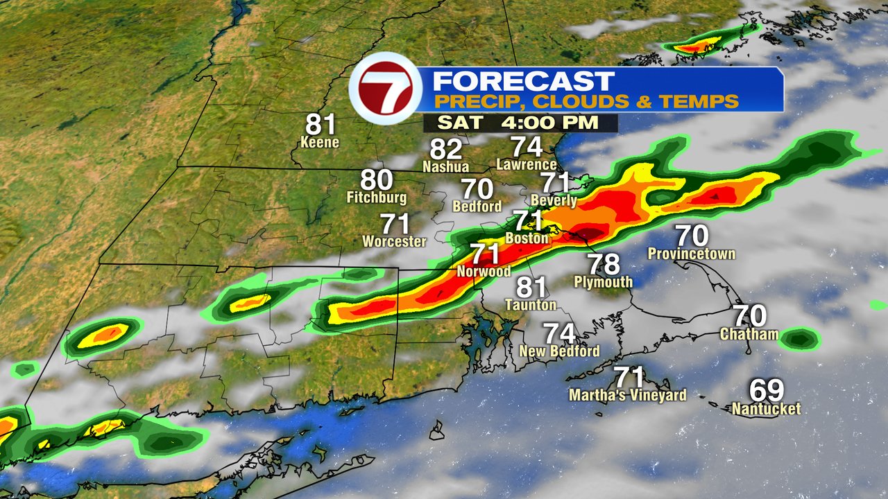
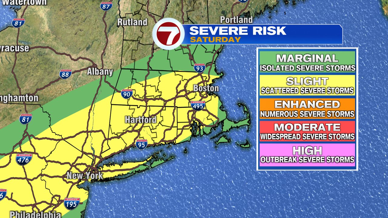
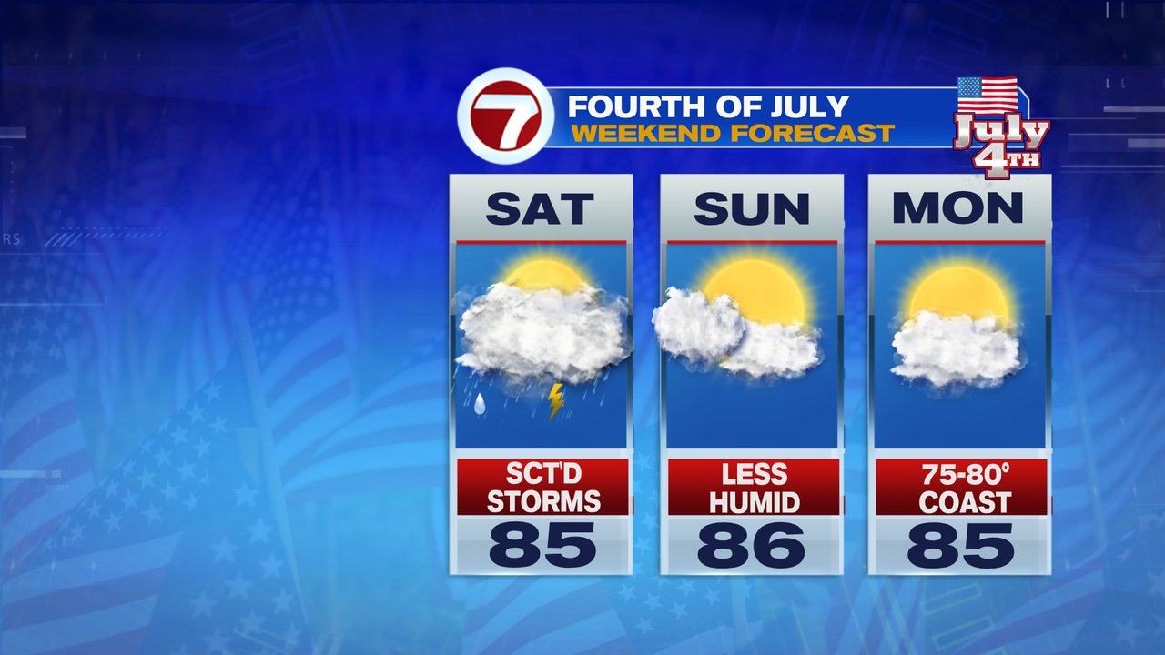
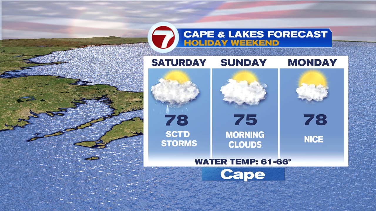
High humidity does surge in tonight and lingers through tomorrow. With the high humidity, a few scattered showers and storms develop late tonight, into tomorrow. Saturday’s not an all day wash out, but one of those days where you’ll catch a shower/storm, get a few/several dry hours, and then another round of storms. So keep an eye on the radar if you have outdoor plans. Most storms will be south of us by the time the fireworks get going at night, although across Southeast Mass, there still could be a lingering shower/storm. We’ll have to keep an eye on the storms tomorrow afternoon for damaging wind gusts, as a few storms could go severe. With the atmosphere loaded with moisture, downpours creating brief localized poor drainage/street flooding is possible too.
As a front clears the coast Sunday morning, morning clouds yield to increasing sun by the afternoon as humidity comes crashing down. That’ll set up a beautiful summer day with highs in the mid 80s. It’s pretty much a similar feel to the air for The 4th of July as highs run in the 80s again with partly to mostly sunny skies.

Tuesday brings the next chance for scattered showers/storms.