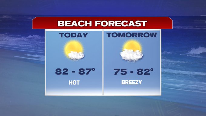
It will be another hot one out there this afternoon, although it won’t be quite as humid as yesterday and we do not have any threat of thunderstorms today.
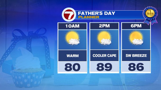
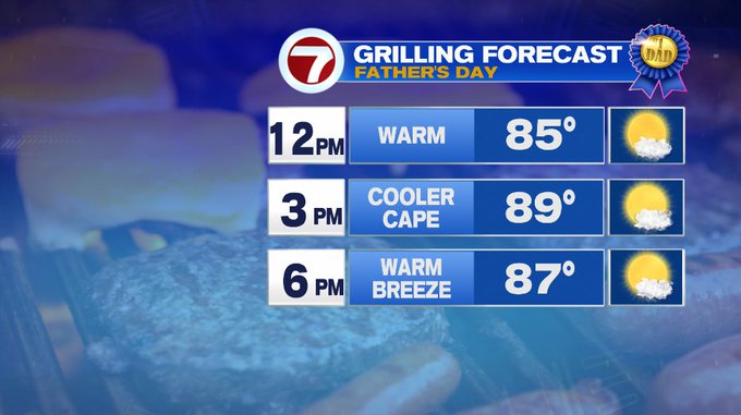
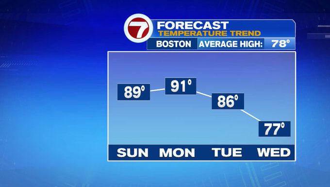
For your Father’s Day plans, whether they take you to the links, to the beach, or around town, we’re looking at highs near 90°, away from the Cape which will be slightly cooler due to a southwesterly breeze that develops this afternoon.

Both today and tomorrow we’re tracking the heat, so you might be thinking of heading to the beach. You’re in luck because both days are good beach days, although we may have some fog for a few coastal areas tomorrow morning.
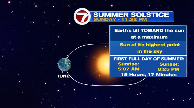
Monday is also the first full day of summer since the summer solstice kicks off at 11:32pm tonight. It will certainly feel like summer tomorrow with highs into the low 90s. An isolated thunderstorm is possible for areas to the northwest Monday evening, otherwise we’re tracking dry conditions until Tuesday afternoon.
It will be humid with highs into the mid to upper 80s Tuesday ahead of a cold front that swings in Tuesday afternoon, sparking up scattered thunderstorms.
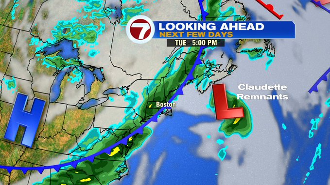
The timing of this front also kicks out the remnants of Tropical Storm Claudette out to sea, so the only impacts that we may see here for southern New England is rough surf.
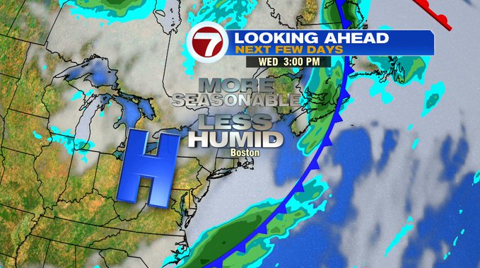
After that cold front clears the region late Tuesday, much more refreshing and seasonable air returns Wednesday with highs into the upper 70s.
For the end of the 7-day, 80s return for the end of the week although seabreezes will keep temperatures cooler at the coast both Thursday and Friday. A few showers are possible Saturday otherwise partly cloudy with highs into the mid 80s.
