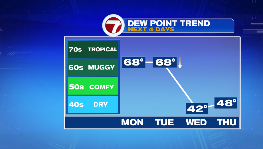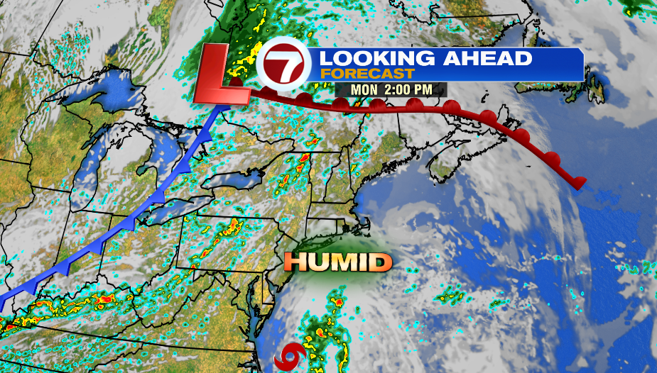
The week starts hot and humid, and then a cold front moves through Tuesday bringing relief for the rest of the week.
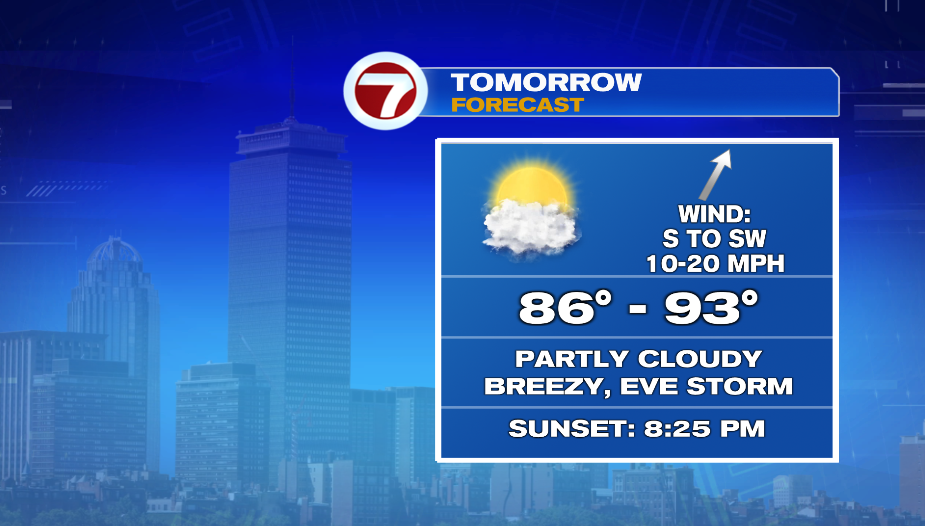
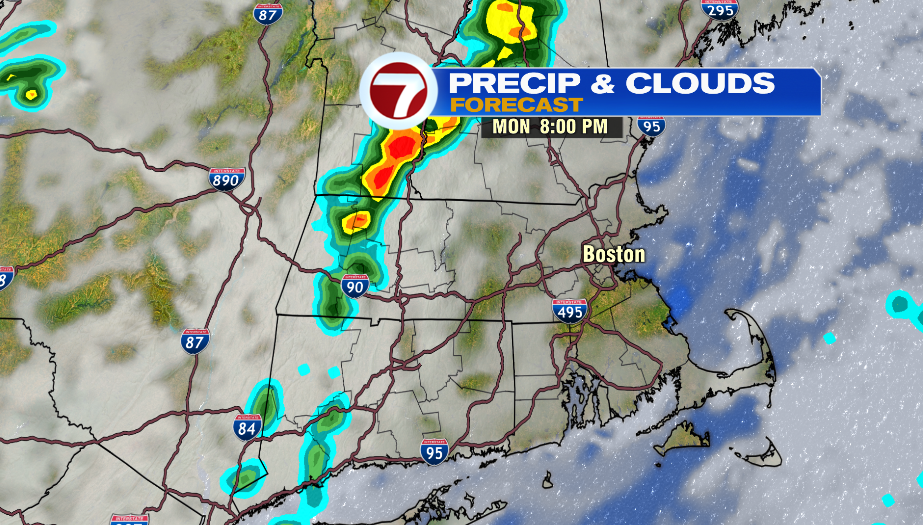
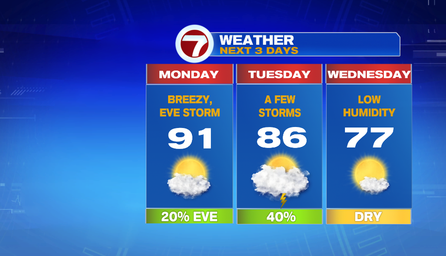
Monday is the first full day of summer and it will feel like it. Highs will be in the mid 80s in southeast Massachusetts, and in the upper 80s and low 90s for the rest of the area. It will be humid with a mix of clouds and sun. It looks like one or two storms make it into the area between 7-10 PM. The best chance for this will be in northern Worcester County and southern New Hampshire.
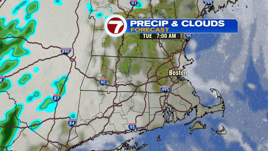
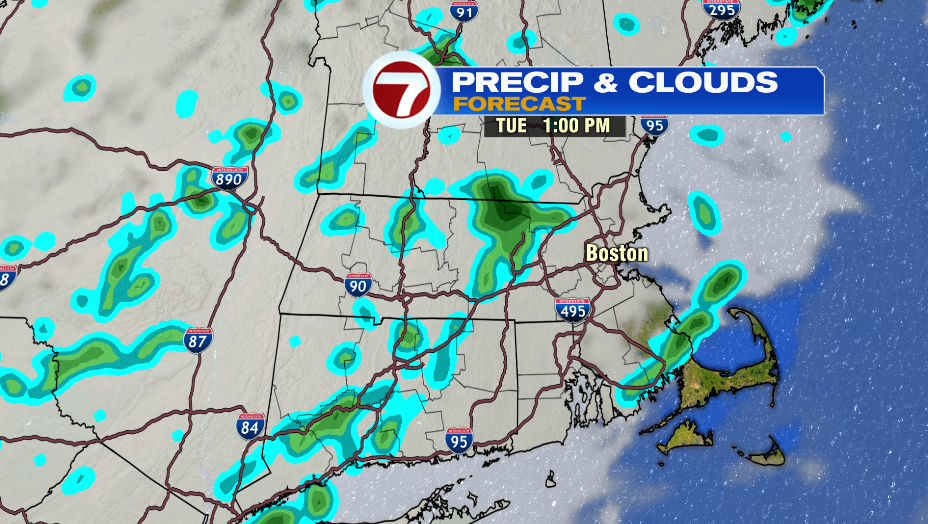
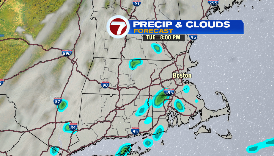
A cold front arrives Tuesday. The day starts humid and with peeks of sun. A few showers, and maybe downpours develop mid-day (11AM-1PM) and will be around for a few hours. It looks there’s another chance for a few showers after 6PM. Overall, it will be unsettled, but not a complete washout. The type of day where you want to take your umbrella just in case.
Highs reach into the mid 80s around lunch time, and then drop a bit as showers arrive. Humidity is high in the morning, but it gradually drops throughout the afternoon.
There is relief from the head and humidity mid-week. Wednesday is comfortable with highs in the mid and upper 70s.
The comfortable air sticks around for the rest of the week. Dew points are in the upper 40s Thursday, and in the mid 50s on Friday.