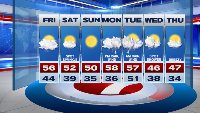
I hope you had a wonderful and safe Thanksgiving. We woke up to dense fog, but that has since burned off just after sunrise and we’ll see mostly cloudy skies for your Friday.
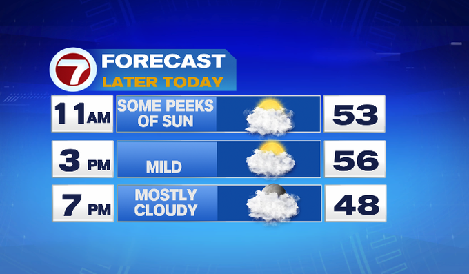
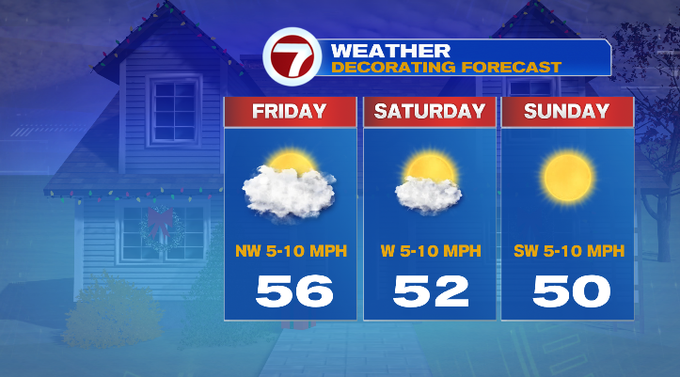
Hitting the road for some Black Friday deals? It will be mild today with highs into the mid 50s with a light west-northwest breeze. We’ll see some peeks of sun, but the bulk of the day will be mainly cloudy. A spot sprinkle cannot be ruled out around sunset, but most locations remain dry for our Friday.
Tonight, a partial clearing of the skies will give way to overnight lows into the upper 30s to low 40s. Some patchy fog may develop.
Tomorrow, partly cloudy skies for our Saturday with highs into the low 50s (again, a spot sprinkle is possible, but overall most locations see dry conditions). Sunday is the pick of the weekend with sun-filled skies and highs around 50. Both weekend days look great if you’re planning on hanging up your outdoor holiday decorations.
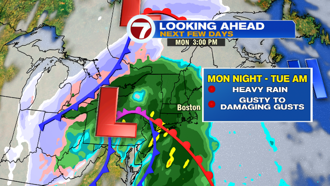
For the start of that next work week, we’re tracking our next system that will bring rain and gusty winds. Monday, we start off with clouds, then the rain moves in by the afternoon. Heavy rain and gusty to damaging gusts out of the S/SE will be the strongest Monday night into early Tuesday morning. We will continue to keep an eye on this system as we get closer, but some wind damage and some flooding is possible with this storm.
By Wednesday, aside from a spot shower, we’re tracking drier conditions and a cool down with highs into the mid to upper 40s to wrap up the 7-day.