Alright peeps… we made it. It’s the end of the week and we have the weekend to look forward too. So will we look forward to the weather as well? For the most part, the answer is yes.
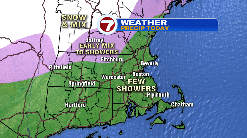
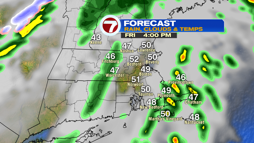
Before we get to the dry and seasonable air for Saturday and Sunday, we’ll track a few showers in here today. They’ll be scattered, so it’s not an all day washout. In addition, mild air comes surging in with a gusty southerly wind as temps crack 50 degrees late this afternoon and early this evening. Initially, there may be enough cold air across outer Route 2, that a light mix could briefly start off the precip across northern Worcester County/Worcester Hills, but any slick spots that develop, won’t last long. Temps by mid to late morning there will go above freezing.
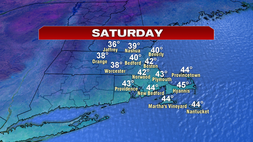
Saturday is a touch milder than Sunday, but overall, the weekend looks great with a decent deal of sunshine.
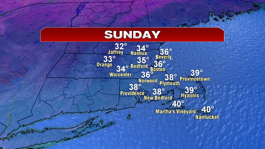
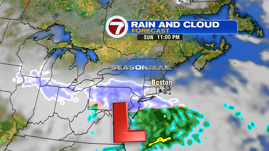
Overnight Sunday and early morning, there may be a bit of light snow/flurries that sneaks in here. We’ll keep an eye on that. Otherwise, we have to wait until late Wednesday into Thursday for our next snow to mix event.
Have a good day and a great weekend!
https://twitter.com/clamberton7?lang=en