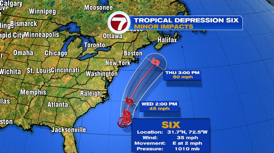
7Weather- Tropical Depression Six has formed in the Atlantic Ocean. It it expected to strengthen into a tropical storm tonight or tomorrow.
It currently has sustained wind at 35 mph, and is moving very slowly. Right now it is off the coast of the Carolina’s, and will move northeast the next few days.
This tropical system will stay well off our coast Thursday afternoon, and will only have minor impacts for the immediate coast.
Expect choppy seas and dangerous rip currents Wednesday through Friday.
TUESDAY:
The day starts cool with many towns dropping into the 40s and 50s. Make sure to grab the light jacket for the kids as they walk out to the bus stop.
It warms up into the mid 70s by lunch time, and inland areas make into the upper 70s in the afternoon.
An onshore breeze keeps coastal spots in the low 70s.


WEDNESDAY/THURSDAY:
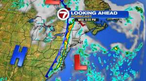
A cold front approaches from the west Wednesday, and the tropical cyclone will be to our south.
There could be spotty showers Wednesday evening, but the bulk of the rain associated with the front moves in Wednesday night.
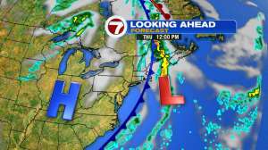
There could be a few showers lingering early Thursday morning, and then that front kicks the tropical low out of here.