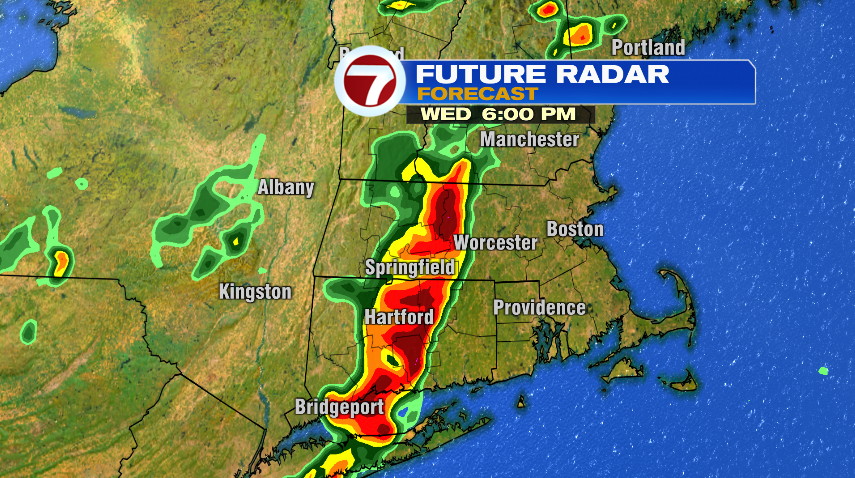
After a round of strong and severe storms moved through New England yesterday, we have another round coming through today. With another day featuring heat and humidity, it is again possible that we see a few strong and severe storms. For that reason, we have another severe thunderstorm watch issued for areas north and west of Boston. The main risk tonight is for damaging wind gusts but also expect torrential rain and lightning as well.

Like yesterday, the storms will weaken as they move eastward, so the more likely areas for severe weather this afternoon and evening are western and central Massachusetts, and southern New Hampshire. By the time the storms get to the 95 corridor, they won’t fizzle out completely but they’ll certainly lose a lot of their punch.
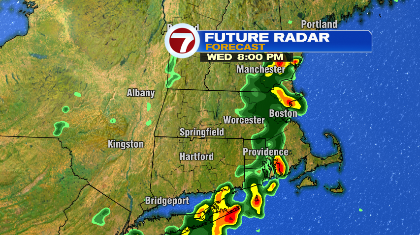
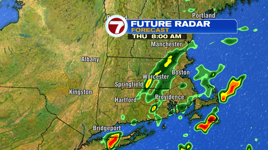
The showers will linger overnight and into tomorrow morning so you’ll want the rain gear out the door. They’ll be a lot lighter and more scattered than this evening, but they’ll be out there. Then tomorrow is all about improvement.
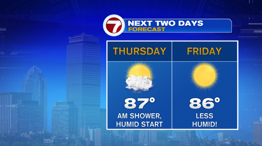
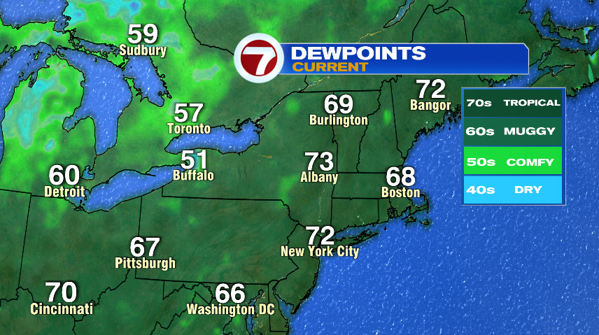
This cold front will finally put an end to the extreme heat and humidity we’ve had this week and send it packing! You can see in western New York, dew points have lowered into the 60s and 50s. That drier air will eventually head into New England. It will take some time to get here, so Thursday is a transition day and we never really get into the comfortable air — but we will get there for Friday!
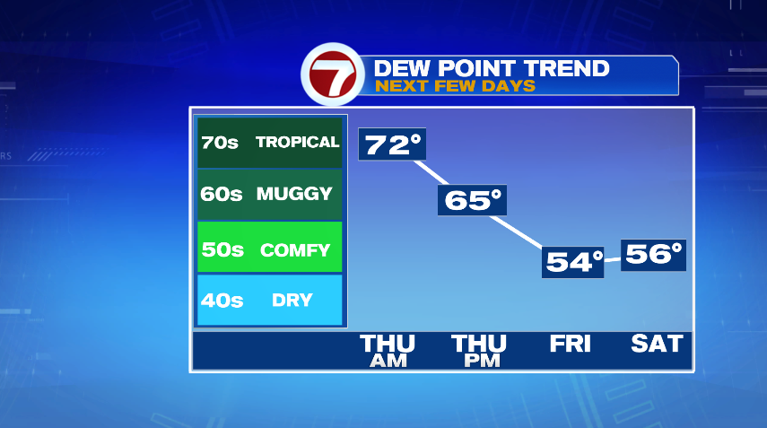
Temperatures will stay warm behind the cold front, keep in mind it’s all relative. A “cold” front will drop us from the 90s to the 80s. But most importantly we’ll finally get a break from the tropical humidity!