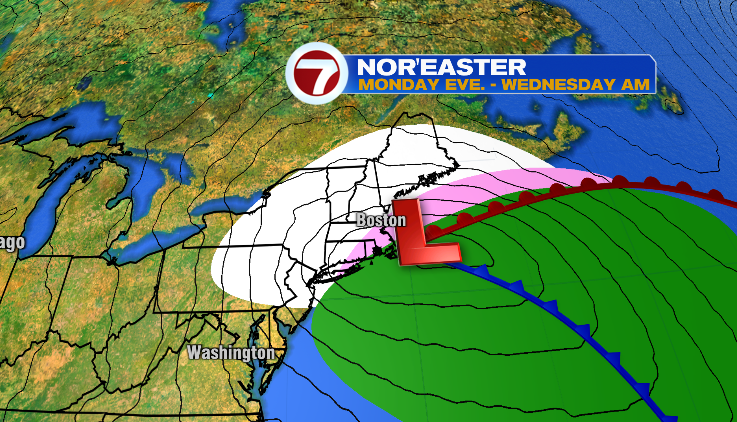
A Nor’easter is set to move over the area late Monday night and sticks around through early Wednesday morning. The highest impacts are expected on Tuesday, with significant snowfall, high winds, and some coastal flooding.
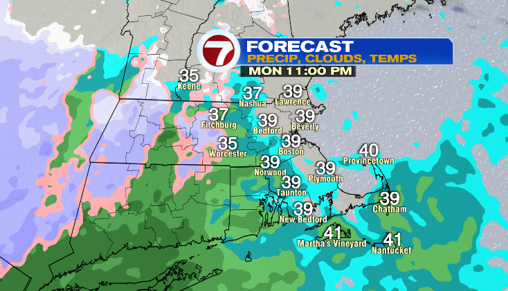
The storm starts out with light rain showers Monday night, generally after 10pm, and gradually picks up in intensity going into Tuesday morning.
Locations in northern and central Worcester County will likely experience a change over to snow around midnight, with locations in Metro West and the North Shore seeing a change over early Tuesday morning.
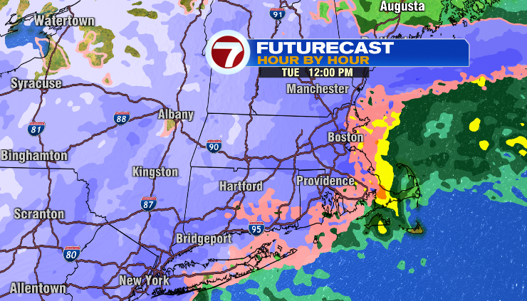
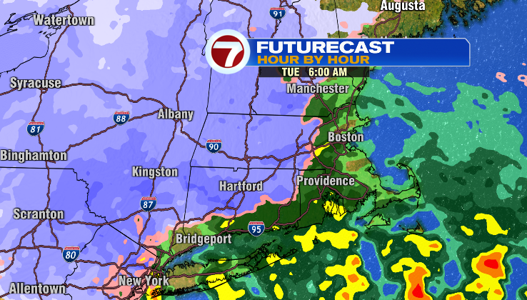
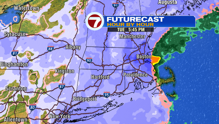
Around noontime Tuesday, the center of the Nor’easter will be just offshore, increasing wind speeds, while also changing rain over to snow closer to the city of Boston.
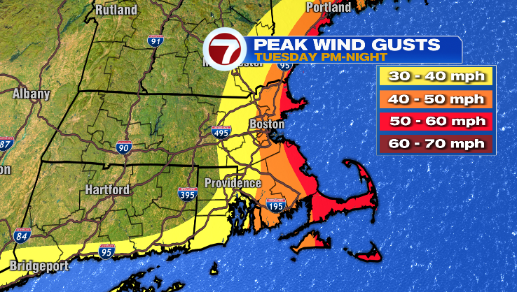
The highest wind gusts are expected Tuesday afternoon, with gusts up to 60mph possible. The northeast wind will also lead to minor flooding, with some northeast facing beaches experiencing isolated pockets of moderate flooding.
By Tuesday evening, some snow will begin moving over the South Shore before the storms starts to dissipate. Some scattered snow showers will linger into Wednesday morning, but the highest impacts of the storm will be done with.
A foot of snowfall is likely for the Worcester Hills and locations into Southern New Hampshire, while only 1-3 inches of snow is expected for parts of the South Shore.
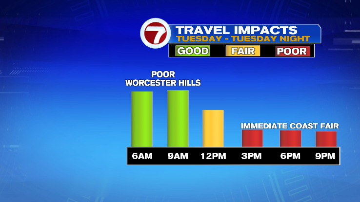
Due to the late change-over to snow in the Boston area, the Tuesday morning commute is looking better than the evening, as most of the area is expected to have some snow on the roadways.
Stay tuned to the latest from the 7 Weather team as the storm approaches the area!