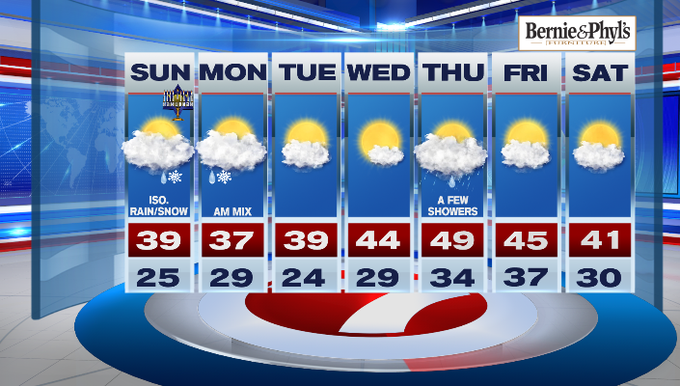
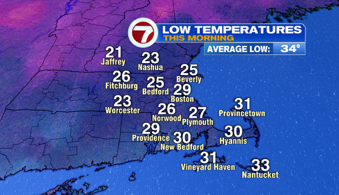
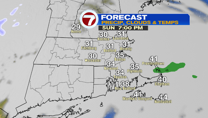
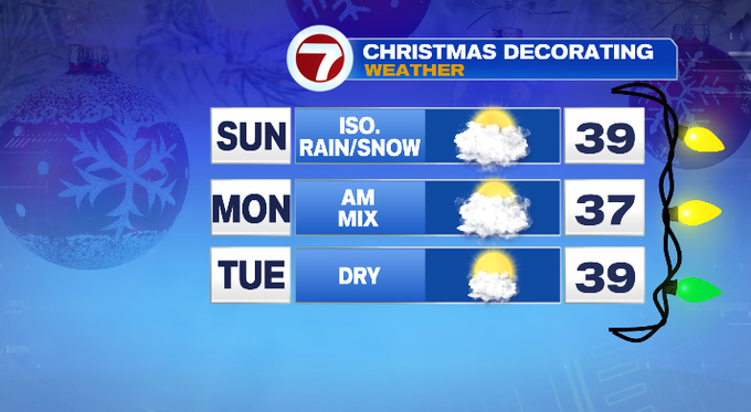
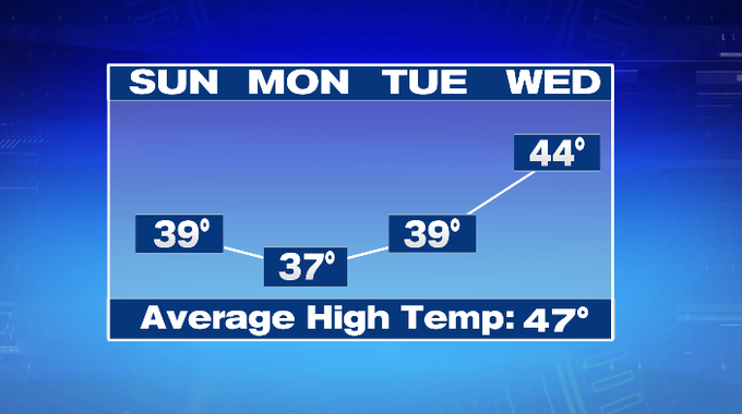
It’s a cold and cloudy start to our Sunday and we’ll likely only see highs in the upper 30s for much of the region.
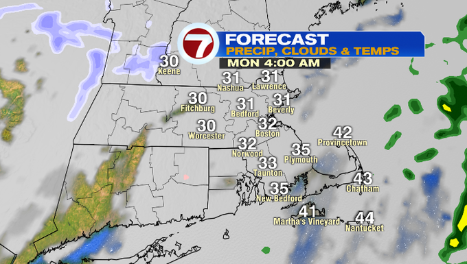
A passing sprinkle or flurry is possible though the latter half of the morning and then we’ll see a renewed chance later this evening and through the overnight.
With the threat for wintry mix overnight into Monday morning’s commute, just be more weather aware on your travels as we could see slick spots.
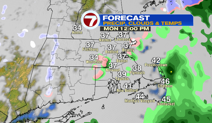
Monday will be mainly cloudy followed by a gradual clearing in the evening leading to temperatures plummeting Monday night into early Tuesday morning. We’ll likely be waking up to temperatures in the low to mid 20s before they rebound into the upper 30s under partly cloudy skies.
Wednesday is our transition day to slightly warmer temperatures (or at least closer to normal for this time of year) just in time to change the calendar.
Thursday brings highs in the upper 40s, however this warmth is met with a few showers with our next system.
We dry out for Friday with highs in the mid 40s, followed by the low 40s for the first Saturday of December.