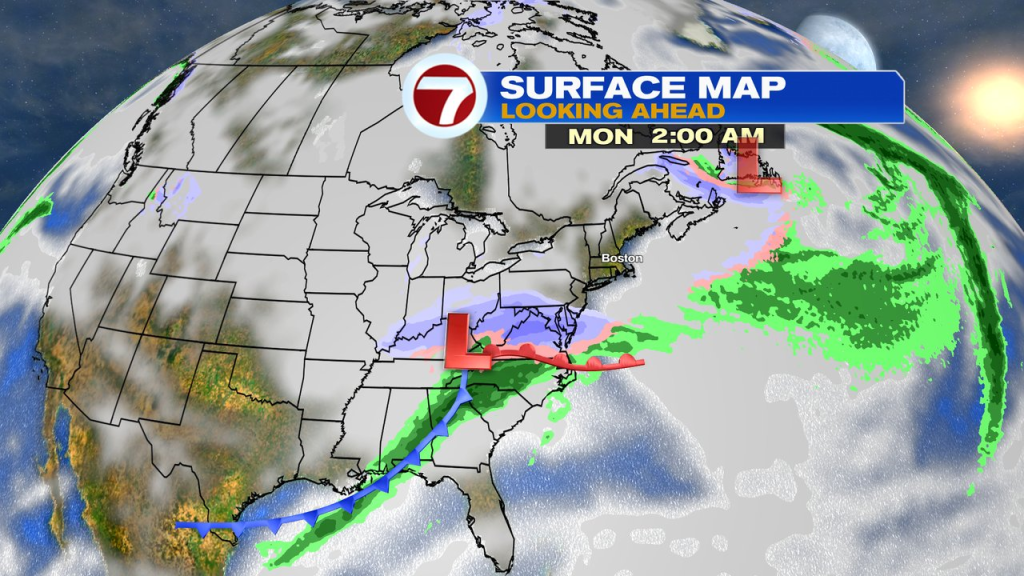
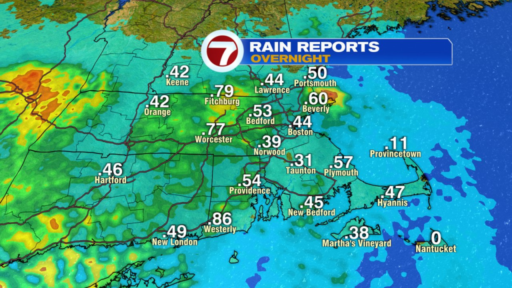
The rain held off until just after midnight, but once it started, it came in quickly and quite hard. With overnight downpours dropping a quick 0.50 – 0.75″ of rain for many towns and cities.
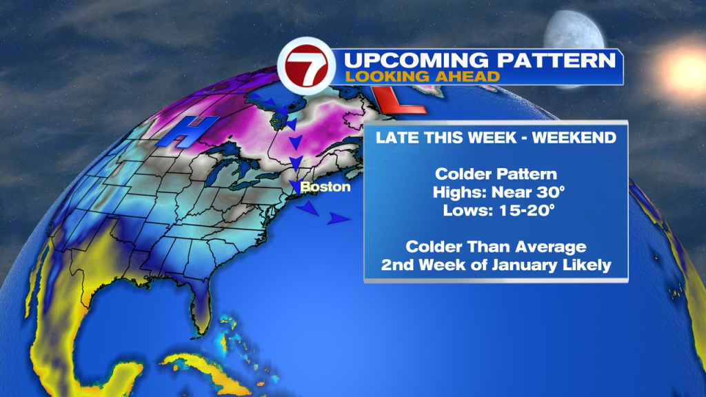
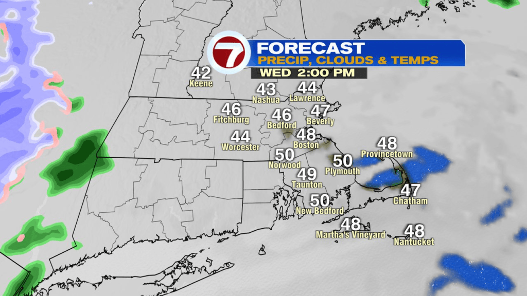
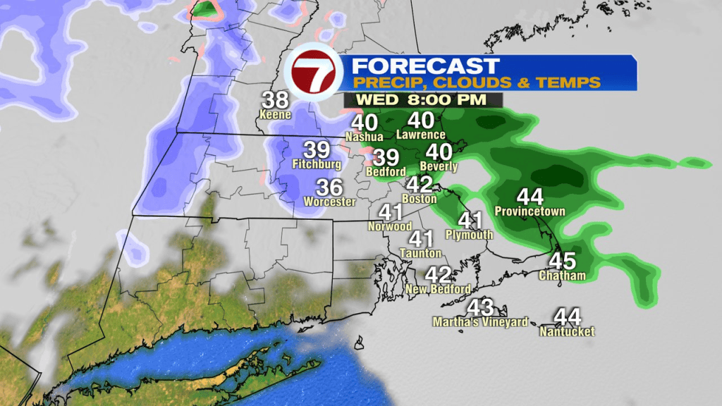
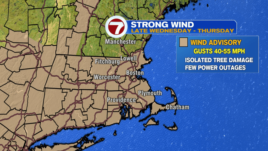
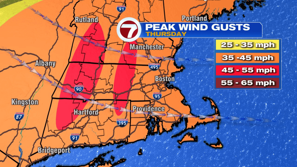
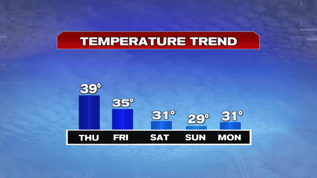
The rain is done with by mid morning and we’ll have a dry midday/afternoon ahead. It’ll be breezy this afternoon, but overall a mild start to 2025. A few more scattered rain/snow showers moved through early this evening, before we dry it out overnight. The wind really starts to ramp up overnight and into tomorrow morning. The highest wind gusts run 40-55mph tomorrow, prompting a wind advisory. It’ll be dry and seasonably cool with highs near 40. Colder air moves in Friday, into the weekend with highs barely getting to near 30.
That cold pattern has some staying power as much of next week runs below average. While it’ll be cold enough for snow, ultimately, it’s the storm track that’ll dictate any chance for flakes to fly. Right now, that track appears to be suppressed to our south, far enough that most of the snow chances stay south too. For those of you that framed up the backyard rinks, this pattern looks good for you.