A Flash Flood Watch is in effect until early Sunday morning for Worcester County. Rounds of rain overnight could cause flash flooding where 1″-3″ of rain fall in a short amount of time. Expect on and off downpours across the area tonight with patchy fog.

There will be a lingering downpour or two early Sunday morning. It will be muggy with temperatures in the low and mid 70s at 9 AM. Temperatures don’t move much from there with showers and downpours developing in the early afternoon. The window for pop-up showers is from 2-9 PM.


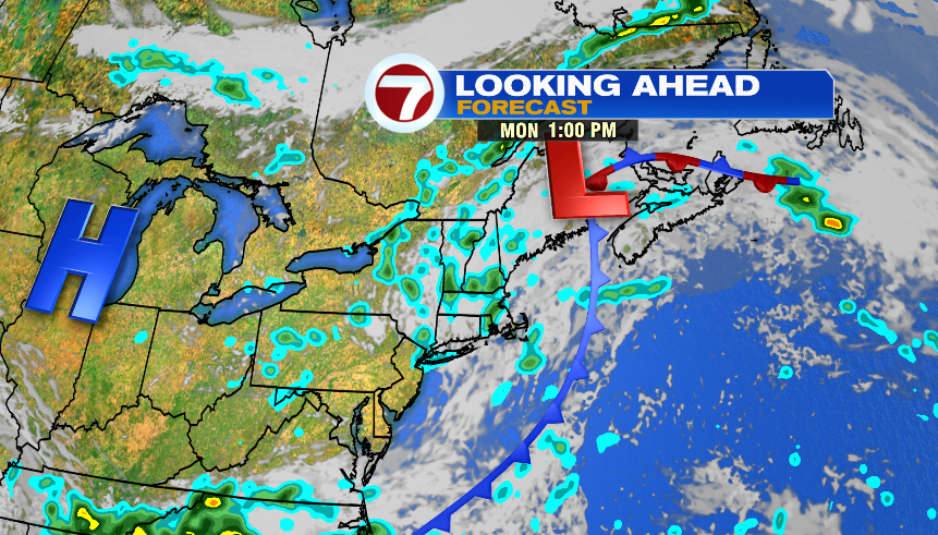
The low pressure system that has rain around this weekend, will still be around on Monday. It won’t be a complete washout, but we will see a few, on and off showers throughout the day. Highs reach into the mid and upper 70s.
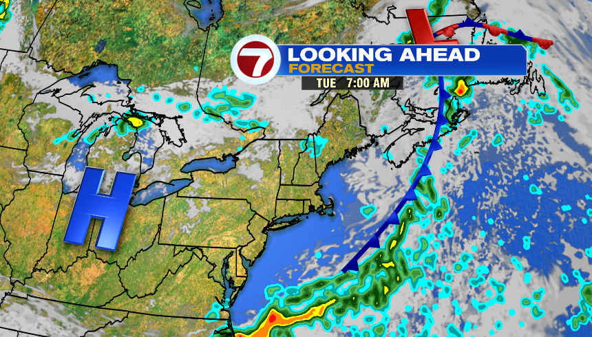
That system finally moves out on Tuesday, and it’s looking like a nice day. The day starts in the mid 60s, and we get into the mid 80s in the afternoon. The first part of the day is mainly sunny, and then it’s partly sunny late in the afternoon with the chance of an isolated storm. It remains muggy.
We’re back to scattered showers and storms on Wednesday. It looks like the rain is mainly around in the afternoon, and highs reach into the low 80s. Thursday is the pick of the week! Temperatures reach into the upper 70s and it won’t be as humid with dew points dropping into the 50s.