7Weather- Scattered showers move in tomorrow, and then the next chance for “precipitation” comes at the end of the week. It is seasonable the next few days, and then we see a big temperature drop by Friday.
TUESDAY:
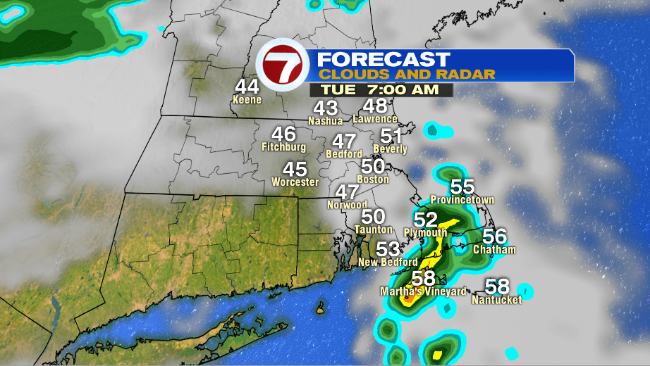
It looks like most of the area will be dry for the morning commute. It won’t be as chilly as it has been the last few mornings with temperatures in the mid 40s.
Take the umbrella with you anyway, showers move in mid-day (between 11AM – 1PM).
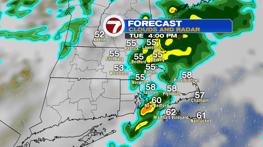
It won’t be a washout all day for everyone. Expect light showers here and there throughout the afternoon with highs in the mid and upper 50s. Some towns will hit 60º.
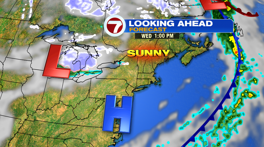
WEDNESDAY:
A cold front clears everything out of here, and high pressure takes over. There will be a cool breeze with highs in the upper 40s and low 50s.
THURSDAY & BEYOND:
Yes, there is the POTENTIAL to see the first flakes of the season. As of now, it looks like a Thursday night – Friday event.
The location of the storm system and timing will determine the impacts across New England.
This storm system doesn’t really start brewing until Thursday, which is why it is a tricky forecast.
What we do know is that unseasonably cold air pushes in Friday, and sticks around into Saturday.
Friday will start close to freezing in the morning, and then highs only make it into the mid and upper 30s.