While typically, on a day like yesterday, the heat would be the headline to the weather story, the smoke managed to steal the show. Wildfires across the western U.S. and parts of Canada sent smoke up in the atmosphere and with prevailing winds moving from west to east, plenty of that smoke made its way into the northeast. As the atmosphere warmed up yesterday, some of that smoke that was around 6,000 feet up, mixed down toward the surface, reducing visibility and allowed for that smoky smell to the air. At that point, the air quality was poor/unhealthy.
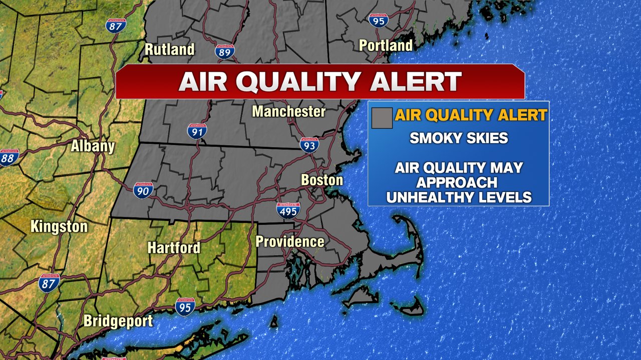
This morning, we start off with some smoky/hazy skies as an air quality alert is in effect until at least noon. While the smoke won’t be as dense as yesterday, it’ll still be with us into the afternoon, with the thickest smoke where the most vivid oranges show up on the map below.

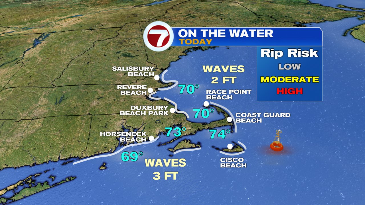
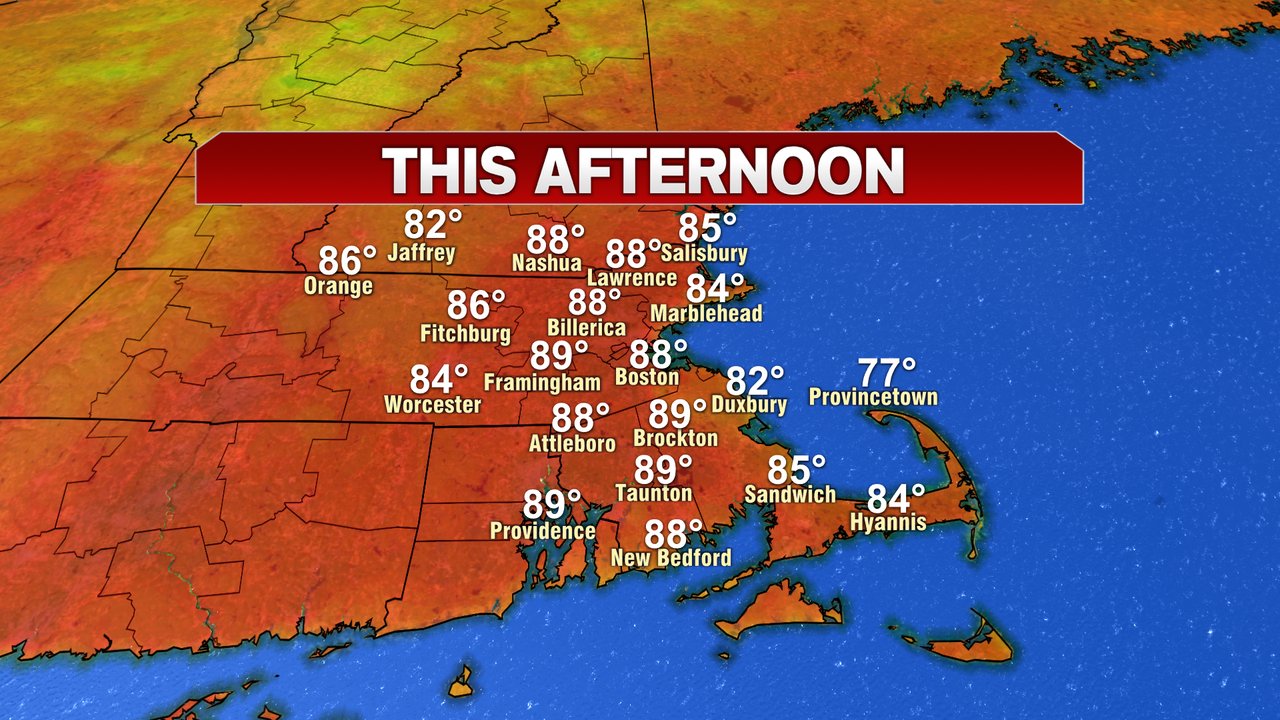
The hot weather will also be with us this afternoon as highs run close to 90 again today. Sea breezes kick in at the coast, but much of the day will be dry. Any time after 5pm we’ll watch for a few isolated storms to pop-up, but a more widespread chance arrives early this evening.

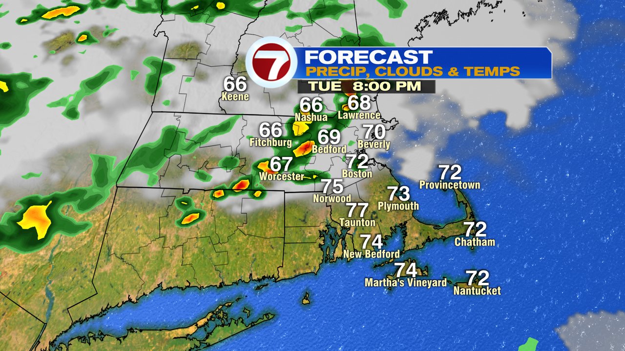
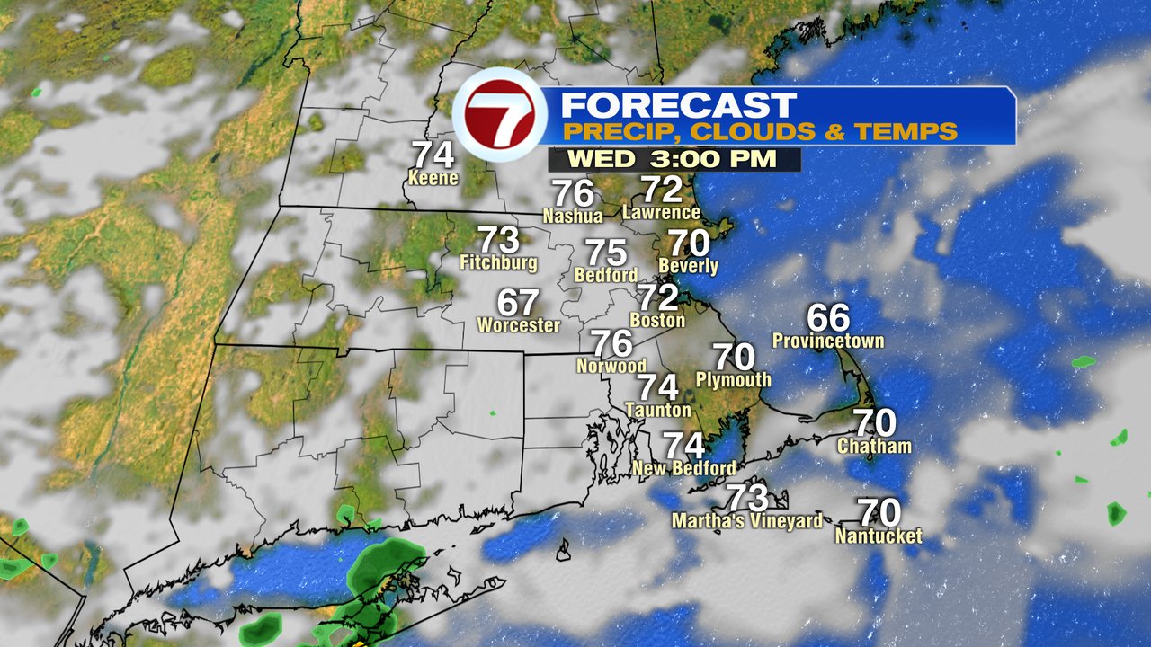
A few showers start early tomorrow morning and another big difference… less smoke and much cooler air. Highs won’t make it out of the 70s tomorrow.

That cooler air has some staying power into the weekend. Although scattered showers and storm move in late Thurday-Friday morning, Friday afternoon – midday Sunday look dry. There may be a few thunderstorms Sunday afternoon inland if the next cold front moves in here quick enough.