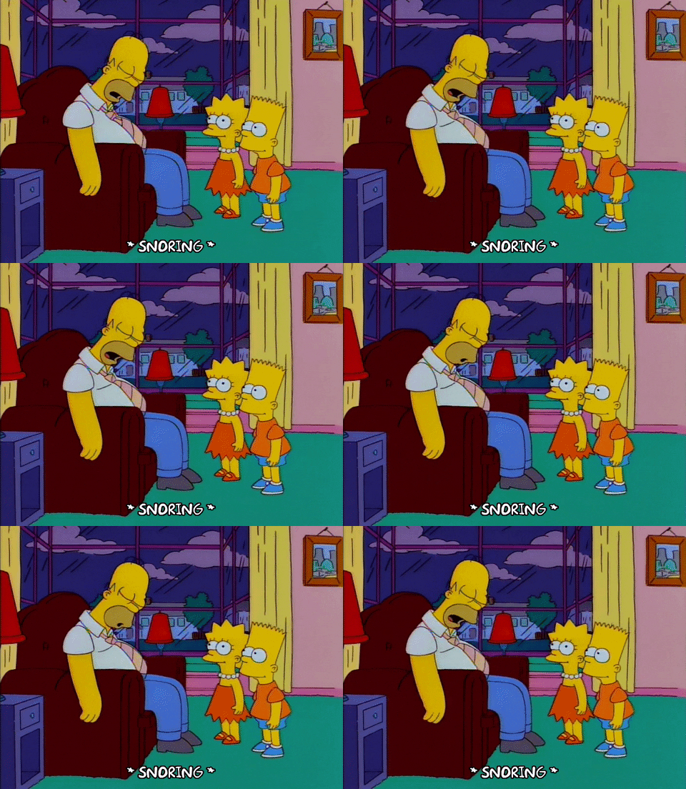
Yes, technically we are under the influence of an ocean nor’easter but other than a healthy breeze you would hardly know it! It’s more like a snore’easter…
Doh!
Here is the weather map tonight…
A decent storm that is well south of New England…likely a bit too far south to have any major effect on our weather. The other factor is the area of High Pressure located north of New England (detailed in last night’s blog) that is blocking the storm from making headway into our area but also feeding dry air into the region which is chewing away at the rain bands from the storm. Here is the rainfall so far today…
What the High-Low combo IS doing is creating some high wind gusts. Here are the gusts from the day so far….
I think that will continue to be the primary concern with the storm…wind, especially on the Cape/Islands…
Those 40mph gusts around Boston as well as North/South Shore will be infrequent but on the Cape/Islands those wind gusts will happen with more frequency and that could lead to some minor power disruption tonight through tomorrow. As for rainfall, like the wind, most is found on the Cape but even there, the forecasted amount is much lower than I previously thought due to the dry air
A showery, blustery-breezy day on Friday but nothing that is too impactful. Improving weather for the Holiday Weekend. Speaking of, the fall foliage is really popping up across northern New England. This is from one of webcams up in Brownville Maine earlier today.
Outstanding!
~JR

