Safe to say we backtracked yesterday weather-wise as a chilly ocean breeze, combined with incoming showers, provided temperatures dropping into the 40s and 50s during the afternoon. A stark contrast from where we were over the weekend, especially when comparing it to Sunday.
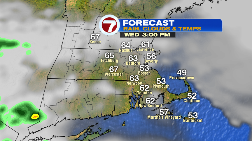
We’re back to jacket weather this morning, however, aside from a patch of drizzle or a few sprinkles, there’s not much rain on the maps through the morning commute. Clouds are thick early this morning, but tend to thin out a bit by late morning and early this afternoon, allowing for some sun to break through. Once that happens, temps warm into the mid 60s inland, but hold in the 50s along the coast thanks to an ocean breeze.
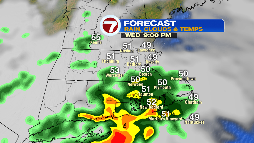
More showers roll in this evening. Showers near and north of the Pike are light, yielding a tenth of an inch or less for many there. Near the South Coast, up and 0.50″ is possible as some rumbles of thunder may mix in too. The strongest storms in New England will be across CT, where a couple of early evening severe storms are possible. Severe thunderstorms are even more likely from NYC to DC.
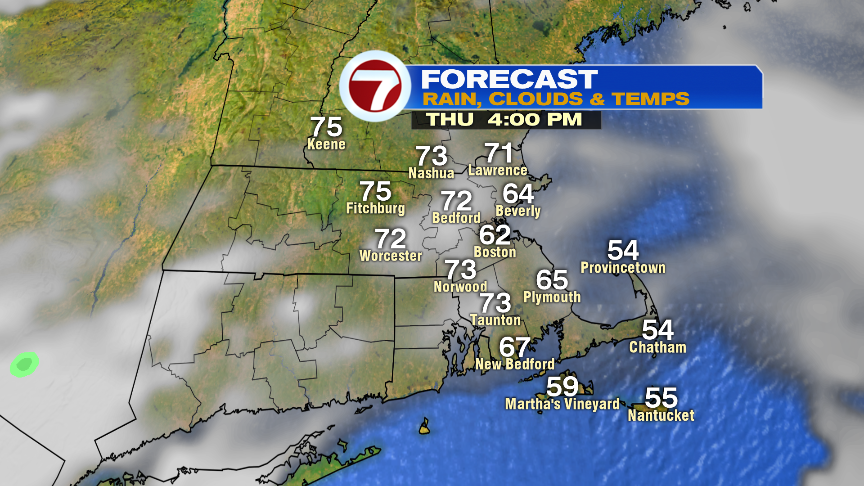
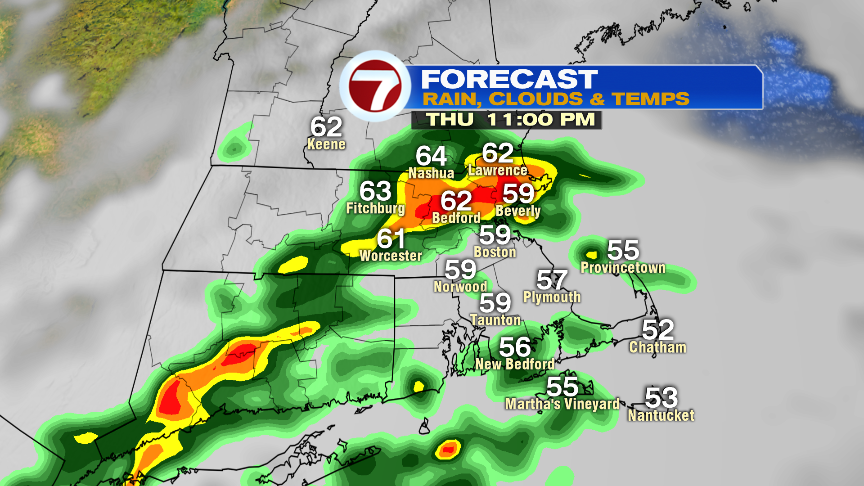
Lots of clouds prevail tomorrow morning before a few breaks of sun are possible in the afternoon. Highs tomorrow reach the 60s at the coast and lower 70s inland. A bit milder than today. Scattered showers and storms work back in tomorrow evening, providing localized downpours and localized street flooding as heavy rain is the main threat.
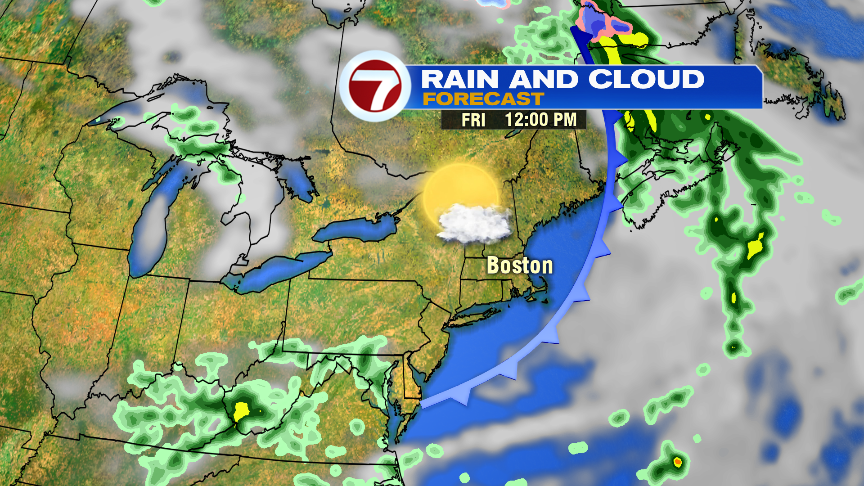
Friday is the pick of the week with temps in the 70s, low humidity and a bit of a breeze.
https://twitter.com/clamberton7