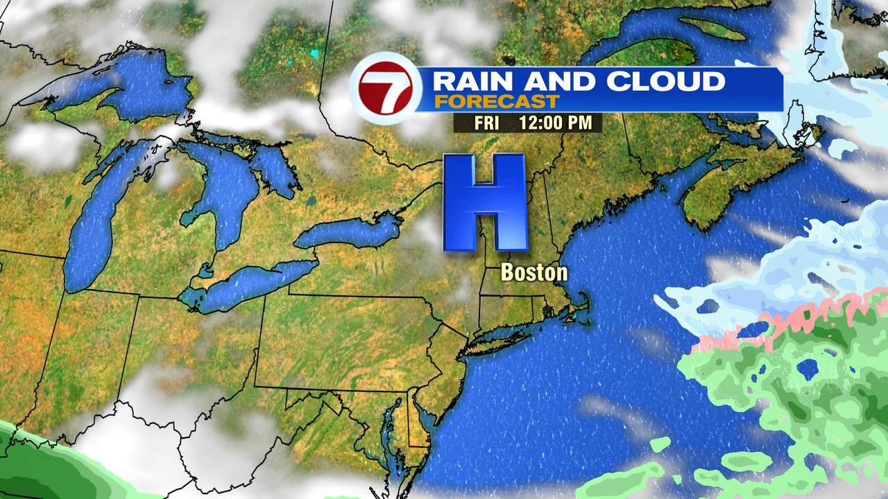
Sunshine wins out today, although it’ll be a chilly day with highs near 40 degrees. Fortunately winds are light too, so overall, it’ll be a solid late winter day.
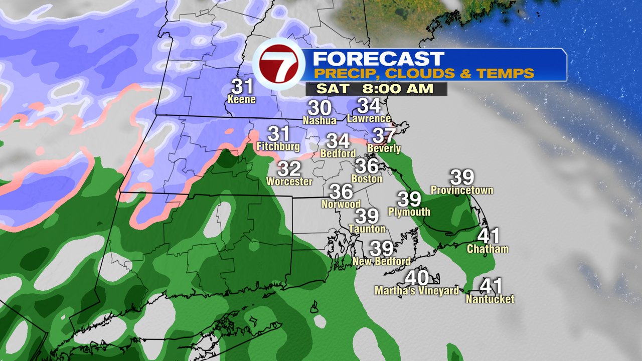
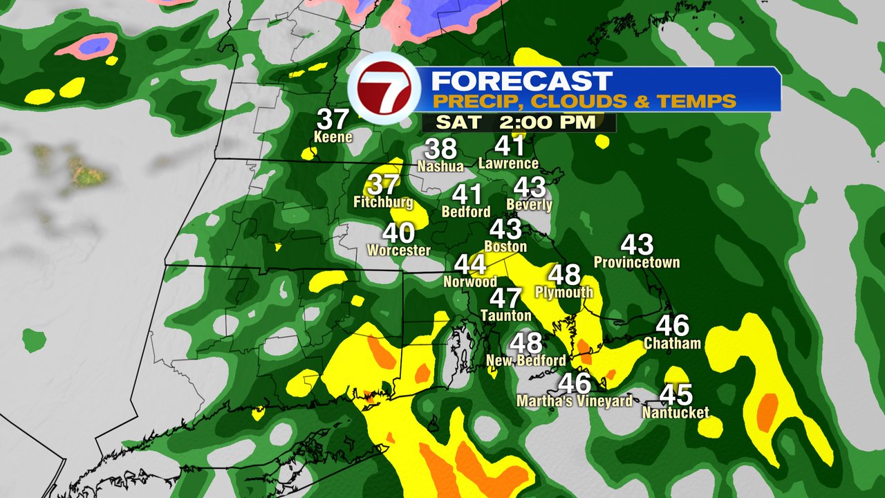
The weekend starts off unsettled as early tomorrow morning starts off with a mix of snow/sleet across northern Mass and a cold rain for most of us. Any accumulation of snow will be limited to a coating before the flip to rain occurs across the Commonwealth for all locations. Showers extend through the afternoon and taper off at night. High temps tomorrow range from the mid 30s across northern Mass and Southern NH to low 40s in Boston to near 50 along the South Coast.
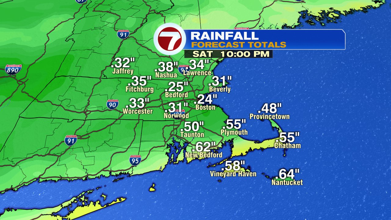
Rain totals run 0.25-0.35″ for most of us, with 0.50-0.75″ likely near and south of Route 44 in Southeast Mass. We’ll dry out tomorrow night and allow for a dry start to Sunday.
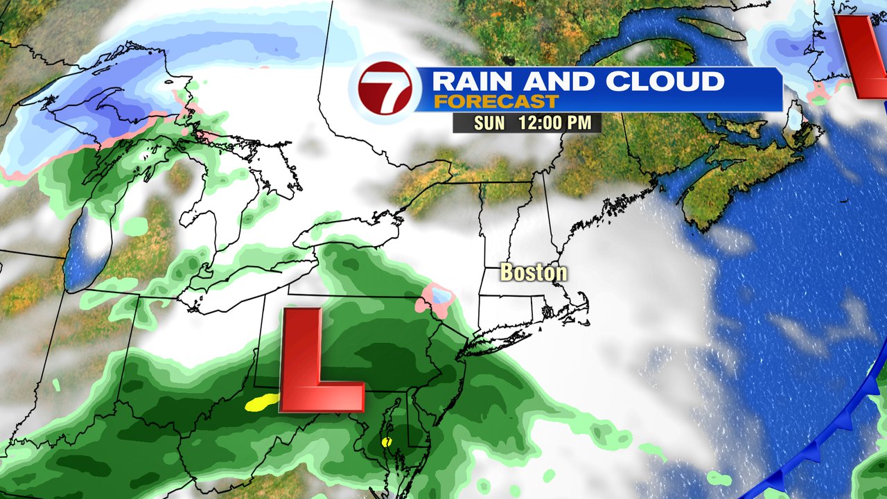
Sunday starts dry but ends with a few mid to late afternoon showers with highs well into the 40s. Not the best day, but better than what we’ll have Saturday.
Have a good weekend.