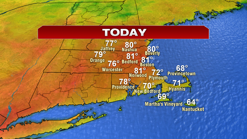
The winds of change are in the air today as a southwesterly breeze kicked into gear overnight, helping hold temperatures up near 60 to start this Wednesday morning. The milder start and southwest wind, aided by a bit of sun, will help temps jump to near 80 this afternoon. Rain chances during the day are rather low, although a few isolated showers are possible northwest of 495 mid to late afternoon. A better chance for widespread rain comes this evening.
Showers and storms are numerous tonight and with higher humidity/moisture in place, we’ll watch for localized downpours and street flooding. Any cluster of downpours that gather some steam will be capable of producing a quick 1-2″ of rain. Not everyone will see that, so that’s why street flooding is localized vs. widespread.
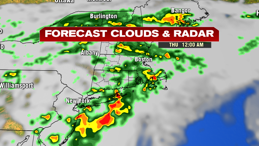
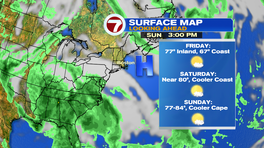
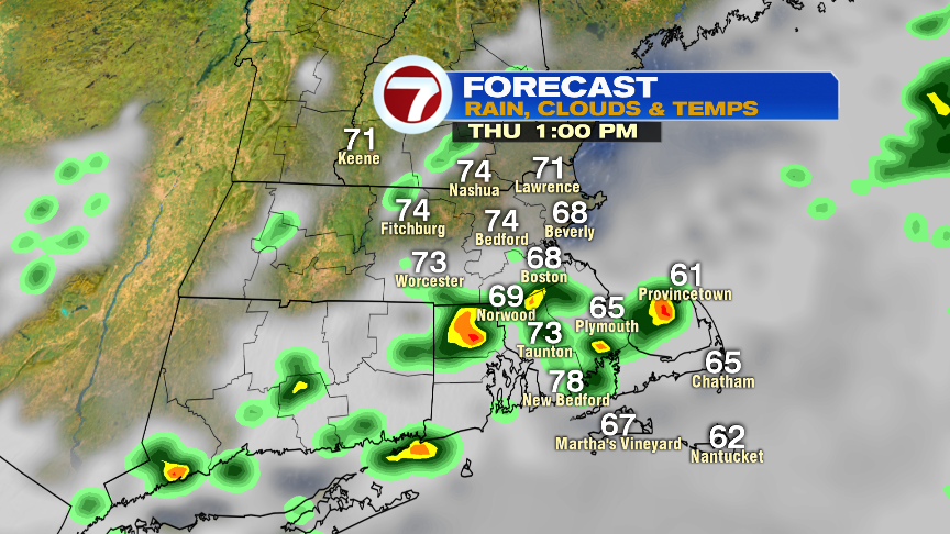
Scattered showers and storms are possible through midday tomorrow, although we’ll catch some dry times too. Temps slide a bit in the afternoon as humidity lowers, but that’ll set the stage for a drying trend late in the day. A trend that carries through the weekend.
Graduation party or a wedding planned this weekend? You picked a good one! Low humidity too. Check our the forecast below.