Mild air and some mugginess in place early this Monday morning has allowed for some gusty showers and storms to develop out ahead of a cold front that’s moving through. We even had an early morning tornado warning across Cape Ann this morning. While widespread severe weather is not expect, we’ll watch the potential for an isolated stronger storm to develop through mid morning, especially across Southeast Mass where the mild and muggier air lasts the longer. However, the main risk from these showers and storms will be localized downpours and slow downs for the morning commute.
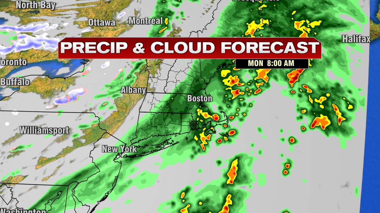
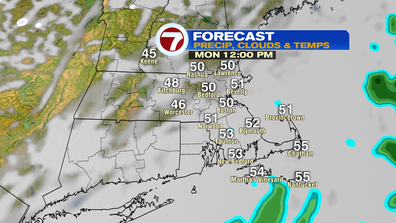
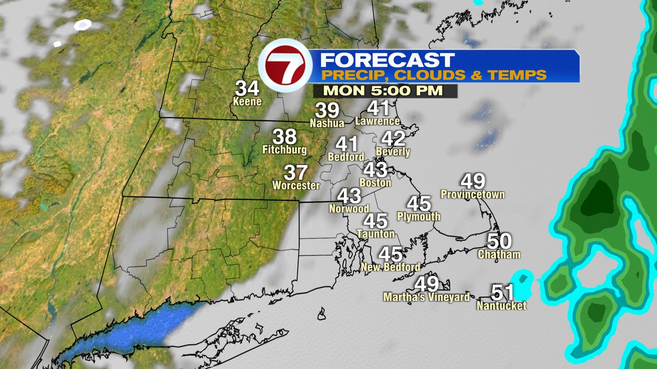
Lighter showers are with us mid morning to lunch, before it dries out this afternoon. It’ll cool off this afternoon too as temps slide back into the 40s.
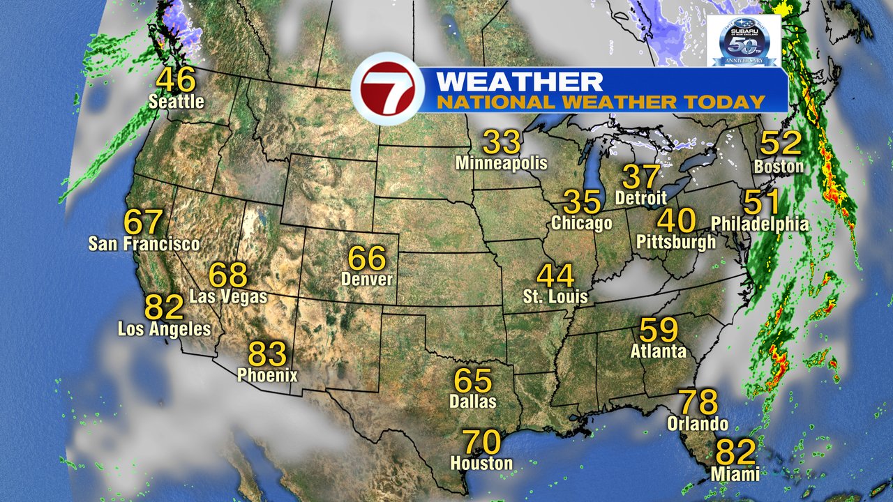
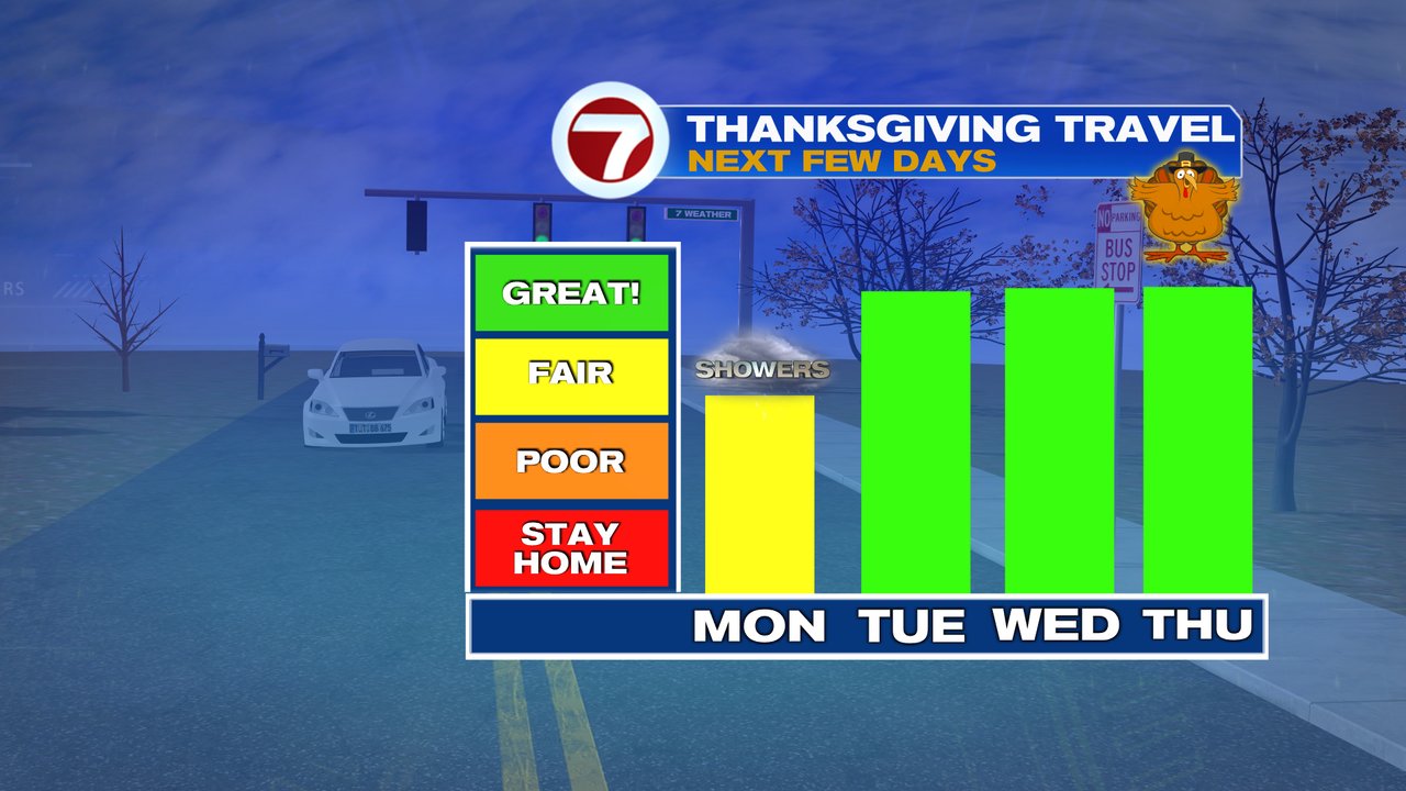
While it turns chillier the next few days, it also looks dry with great travel weather across much of New England and Nationally. Temps moderate back toward 55 by Thanksgiving before cooling off by the weekend. While a few scattered showers move through Friday, it’s not a big storm for us. Next weekend may even feature a flurry or snow shower with some chillier air in place with generally a dry, partly to mostly cloudy sky.
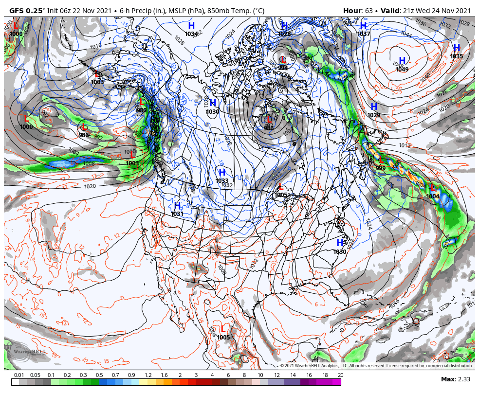
Pattern below is for Wednesday… generally quiet coast to coast.
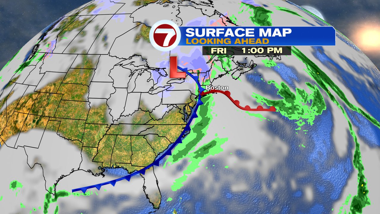
Few showers Friday.