7Weather- This weekend will be warm with near record highs. Saturday is mainly dry, and then showers move in Sunday morning.
SATURDAY:
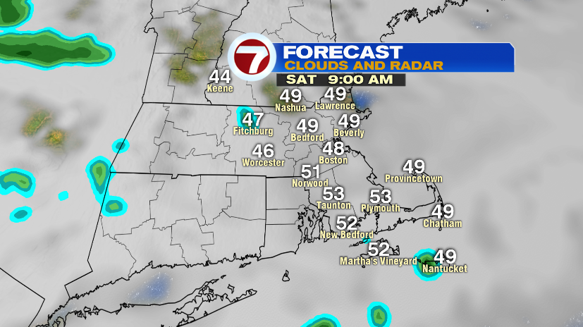
Saturday starts mostly cloudy with temperatures in the upper 40s. It is mainly dry, but with so much moisture in the lower atmosphere, there could a few sprinkles here and there.
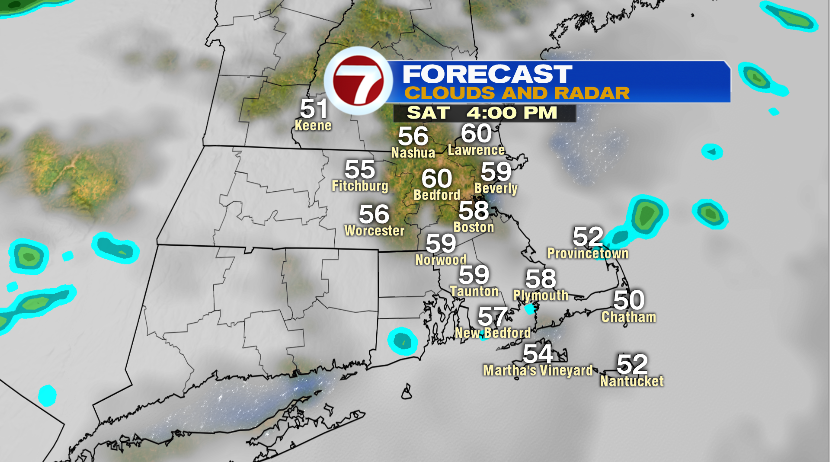
It clears up a bit around lunch time, but it will be windy. There will be a few hours of sun in the afternoon, allowing temperatures to jump into the upper 50s and low 60s. Highs will be 20-25º above average.
SUNDAY:
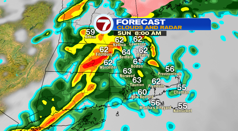
A line or rain moves into the area ahead of a cold front Sunday morning. It looks to be a brief period of rain, and maybe a few rumbles of thunder.
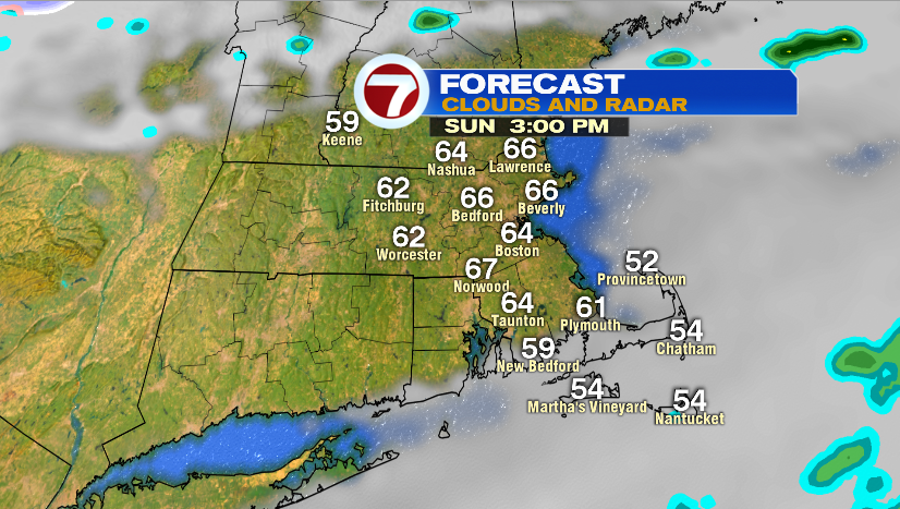
The line moves in between 6-8 AM, and moves out by 9-10 AM. The sky clears up by lunch time, and temperatures will be in the low to mid 60s for a couple of hours.
Cold air comes rushing in around sunset, and we drop into the 30s and 40s in the evening.
RECORDS:
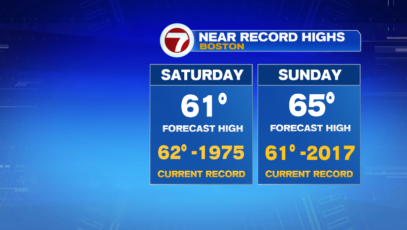
Saturday’s high temperature will likely tie the record for Boston set back in 1975. Worcester will also be close to tying the record high of 58º set back 1924.
We are forecasting Boston to break the record high on Sunday with a forecast high of 65º.