7Weather- Winter is back. We went from a record breaking warmth this weekend, to flakes and chilly conditions today. We have a quick spike in temperatures mid-week, but then a cold blast of air moves in by the end of the week.
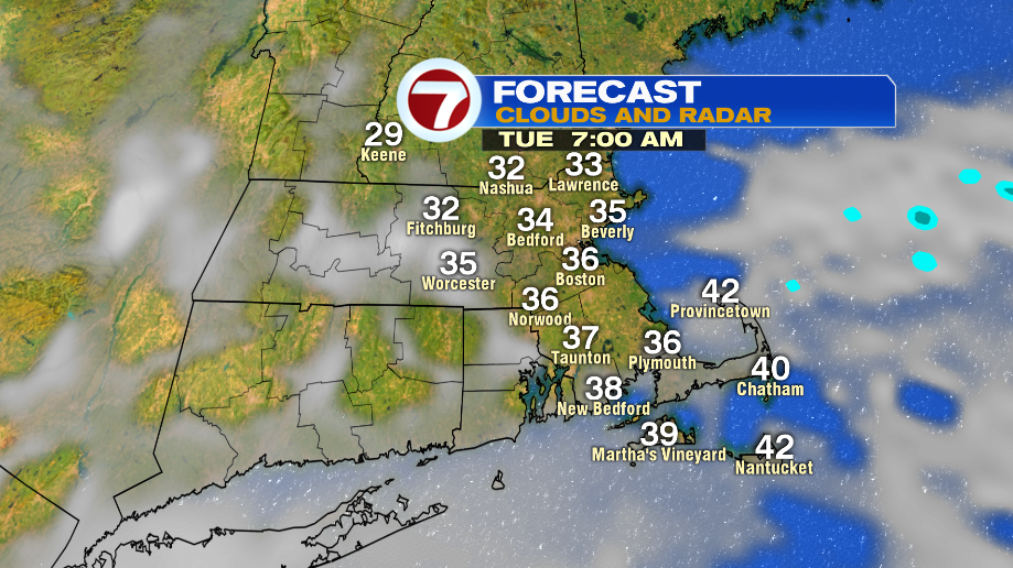
Skies will try to clear a bit Tuesday morning as a high pressure system moves in. It will be chilly in the low and mid 30s.
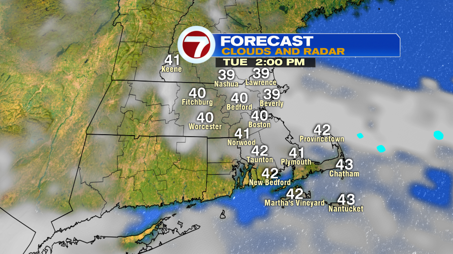
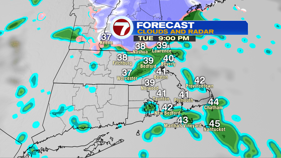
Clouds move back into the area in the afternoon and highs reach into the low 40s. Patchy, light snow moves into southern New Hampshire between 6-7PM. It will only last a couple of hours , and won’t amount to much. The rest of the area has the chance of spotty showers.
Wednesday is the pick of the week! There will be a mix of sun and clouds and highs reach into the 50s.

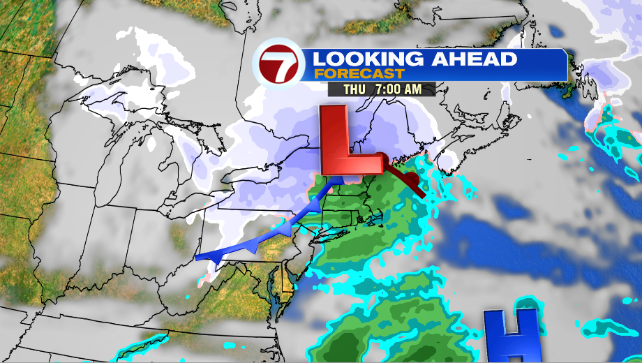
Expect scattered showers Thursday morning. Most of us will see rain, but there could be a few flakes mixed in for areas northwest of I-495.
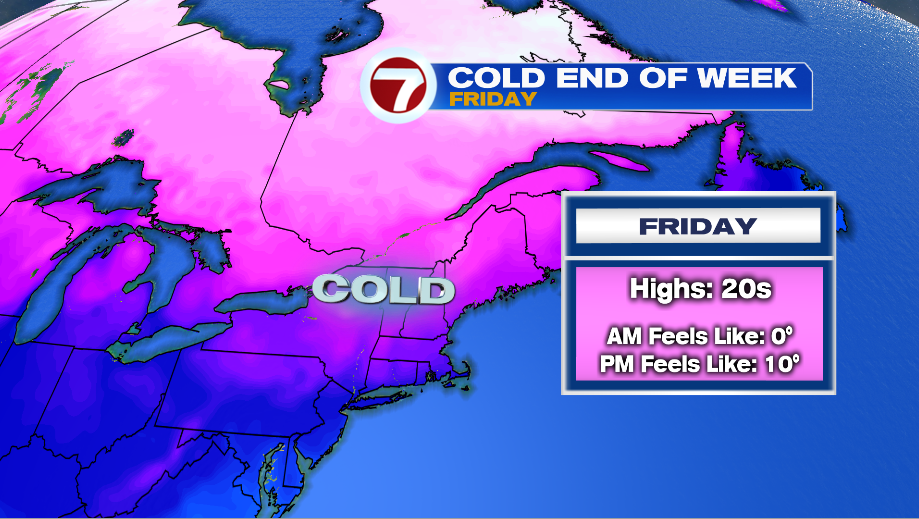
A cold blast of air moves in Friday. Temps only reach into the 20s, but it will feel a lot colder with the wind.
We’re keeping an eye on the next chance for snow. As of now, it starts as snow around sunset Saturday, and stays as snow for several hours. An second area of low pressure is expected to develop over the Mid-Atlantic, and that will bring in some warmer air, changing the precipitation to a wintry mix.
