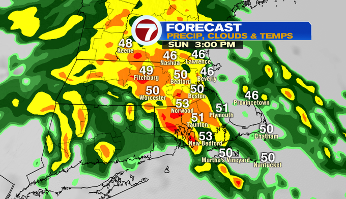
We’re starting off with clouds this morning, but the rain moves in this afternoon with embedded downpours.
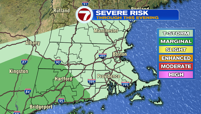
Also, we can’t rule out that chance for a few rumbles of thunder later today, too, with a higher chance at some thunderstorms to our southwest.
Let’s talk timing. By 3PM, the rain becomes widespread ranging from steady to heavy rain. We see a lull in the action around 7PM ahead of a line of thunderstorms that swings in from west to east around 9PM.
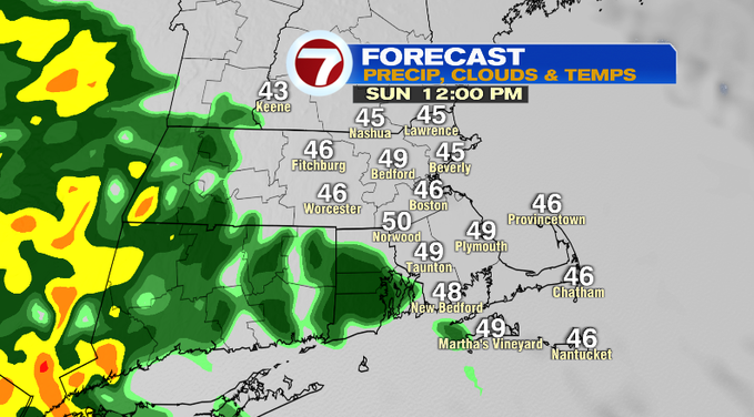
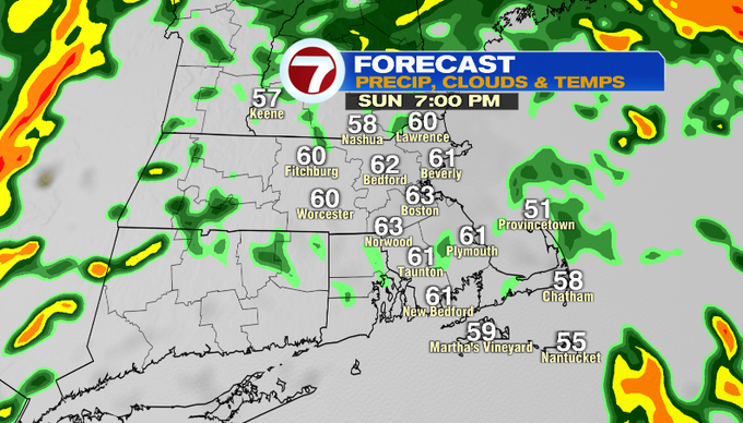
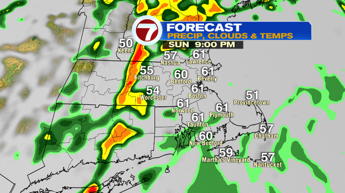
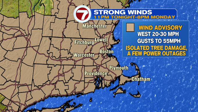
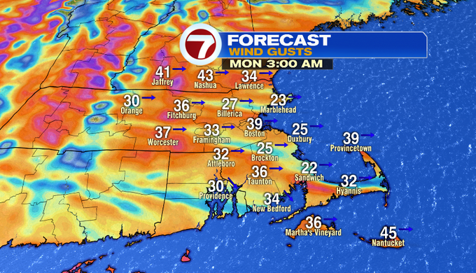
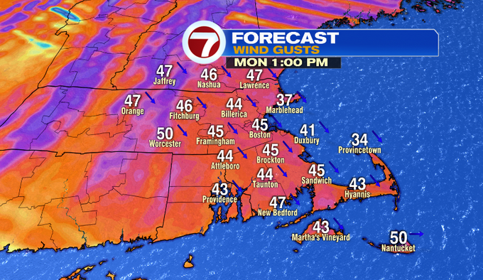
After this line, we’ll see the winds pick up with gusts up to 55 MPH possible overnight, which is the reason why a Wind Advisory has been issued for much of southern New England from 11PM tonight through 8PM Monday. With these strong gusts, a few power outages are possible.
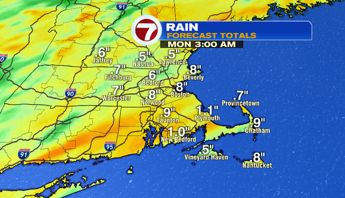
As for the beneficial rain we will be receiving this afternoon and evening, we’re looking at around an inch of rainfall, with higher totals where the heaviest downpours set-up.
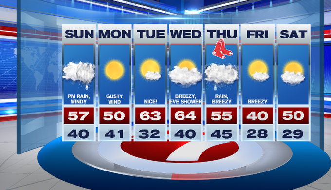
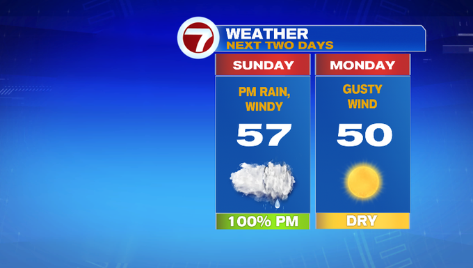
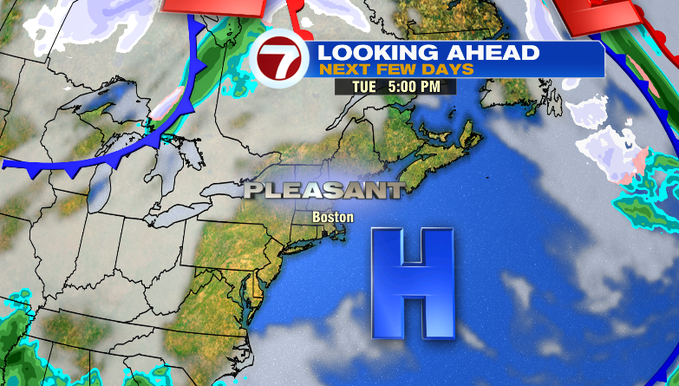
It will be a windy start to the week with highs around 50° Monday. Tuesday is the pick of the 7-day with highs in the low 60s, under mostly sunny skies and calmer winds.
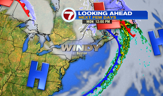
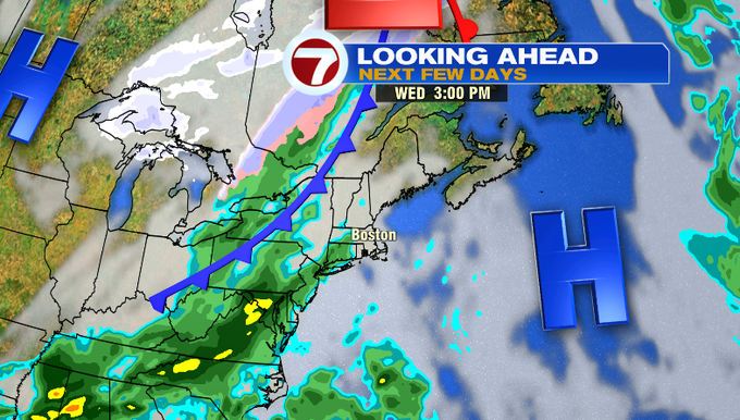
Wednesday brings a chance for a few showers by the late afternoon/early evening with rain lingering into Thursday.
Much colder air moves in by the end of the week with highs around 40° Friday.