

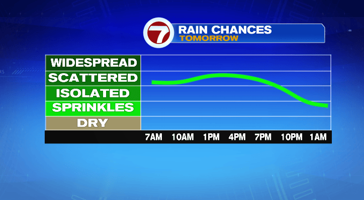
We’ve got a couple more days with rain and storm chances before we get a nice, long stretch of sunny weather.
For the rest of your Tuesday, we still can’t rule out an isolated sprinkle. Overnight, cloudy with a spot sprinkle and warm lows in the mid to upper 60s. It’ll be incredibly humid all night.
Tomorrow, more chances for some isolated showers. That chance is higher, more scattered, for the southeast coast. For the Cape and the islands, tomorrow is looking like a soaker. They could end up with multiple inches of rainfall. Highs will be cooler in the mid 70s, and it’ll still be oppressively humid.
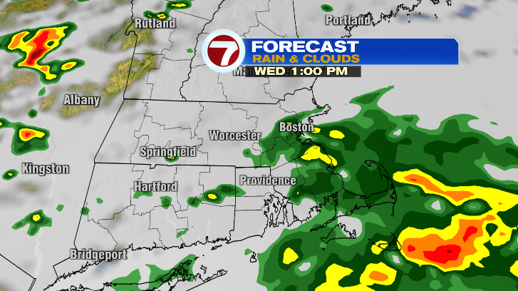
We do this again on Thursday, although the peak of the rain and storm chances doesn’t come until the late afternoon and evening.
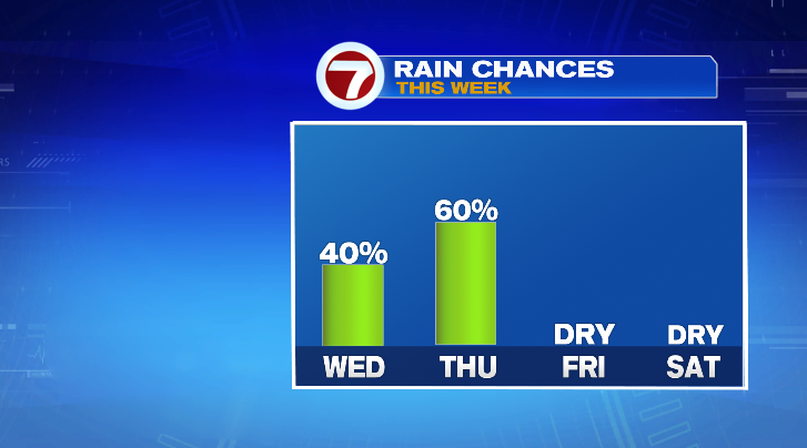
Highs Thursday will warm back up to the mid 80s, and it’ll still feel humid.
However, it’s smooth sailing after that. Friday we’re looking mostly sunny with much lower levels of humidity. Highs will reach the low 80s.
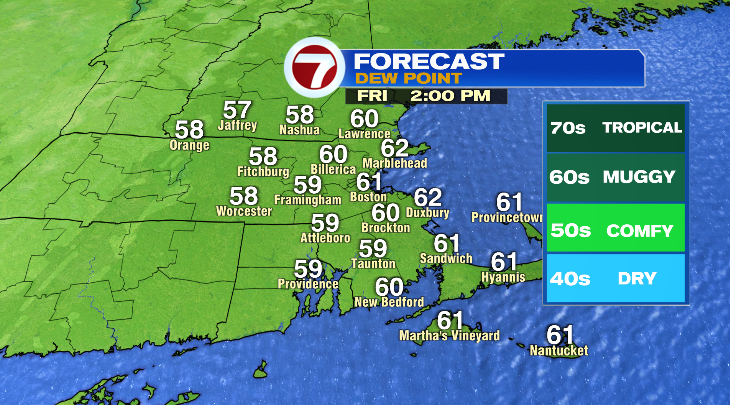
That sets the stage for a dry few days to get some yard work done.
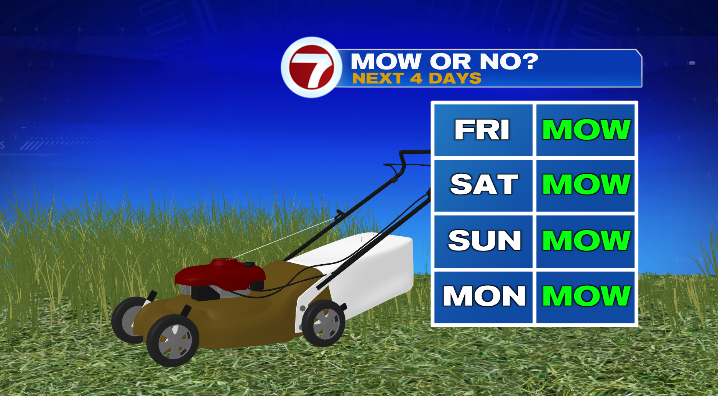
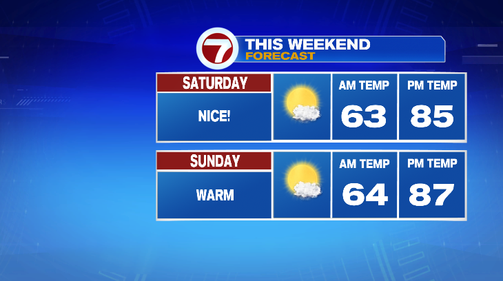
This upcoming weekend looks fantastic. Bright, sunny skies, comfortable levels of humidity and warm highs in the mid to upper 80s.
Next week looks like it’ll be a scorcher. Each day, highs will be nearing the 90-degree mark.