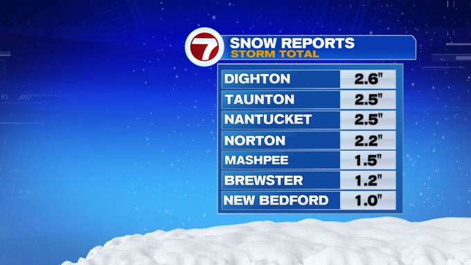
Late last night into this morning, an impressive system continued to strengthen nearly 200 miles southeast of Nantucket, cranking in strong to damaging wind gusts overnight, along with some accumulating snow for SE MA, the Cape and Islands.

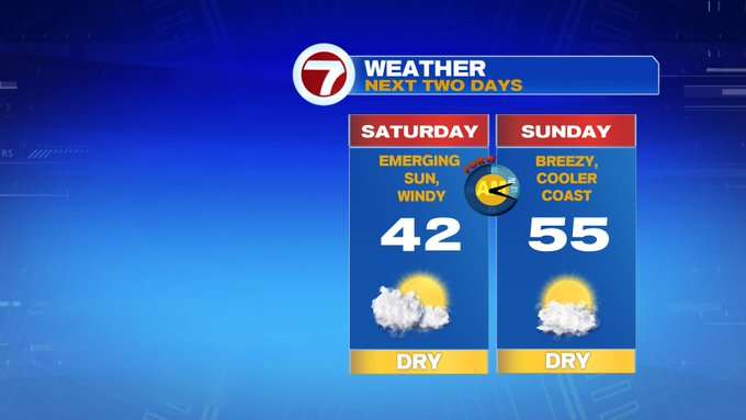
For the rest of your Saturday, this system is continuing to move farther out to sea, bringing the strong gusts as well as the cloud cover with it. Highs today will be in the low 40s, but with the wind, expect it to feel like it’s in the 30s through most of the day, but at least we’ll see plentiful sunshine for Saturday.
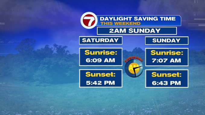
Tonight, under mainly clear skies, temperatures will drop quickly. Overnight, lows will slip into the teens to low 20s. Don’t forget to change your clocks before you go to bed tonight as we “spring forward” for Daylight Saving Time early Sunday morning.
After a cold start, temperatures rebound back into the mid-50s Sunday afternoon under partly cloudy skies. It will be breezy at times, but not nearly as windy as today.
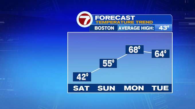
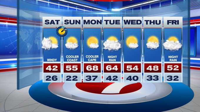
Monday is the warmest day out of the 7-day with highs nearing 70°. The set-up is a southwesterly wind ahead of an approaching cold front, plus mainly sunny skies. Tuesday features increasing cloud cover and still warm with highs in the 60s. Rain showers move in Tuesday night.
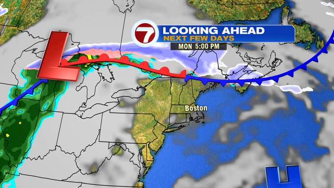
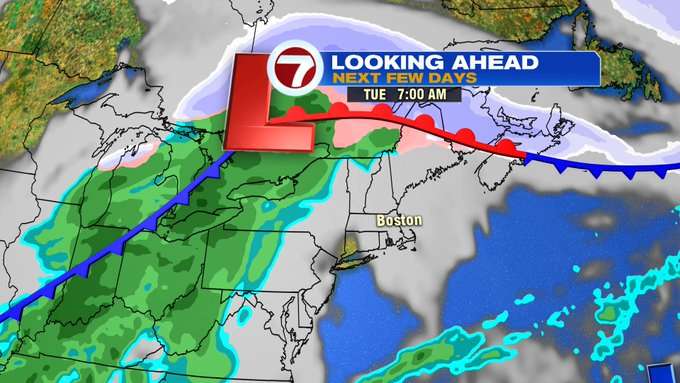
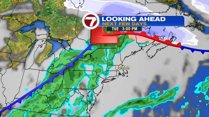
Wednesday is dry with highs slipping back into the 50s. Thursday is slightly cooler, but still unseasonably warm, with highs into the upper 40s under partly cloudy skies. Friday brings highs back into the low 50s with a chance for a few showers in the evening.