The next storm is getting closer to Massachusetts, and thankfully it’s not looking like a significant snowmaker.
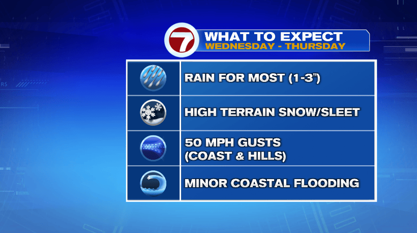
Tuesday evening, we just have chances for some scattered rain showers. Overnight lows will drop into the mid to upper 30s. Wednesday, many of us in the Boston metro area and in southeastern Massachusetts will stick with plain rain. That’s true for the 495 corridor as well. It’s the Worcester hills that could see periods of wintry weather, and right now it’s looking like more sleet than snow for Wednesday. Highs will be in the upper 30s to low 40s and winds will be gusting to 30-40 mph at times.
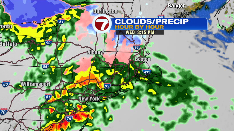
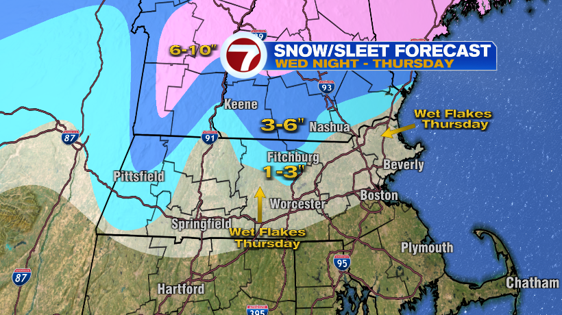
Wednesday night, lows drop to the mid to upper 30s. But, it will be colder in the higher terrain so there will be snow and sleet still. That’s mainly over areas of Worcester County.
On Thursday, even more of us could get in on the wintry weather action. There could be wet flakes as far east as Boston and as far south as northern Rhode Island and Connecticut. However, nothing will stick there.
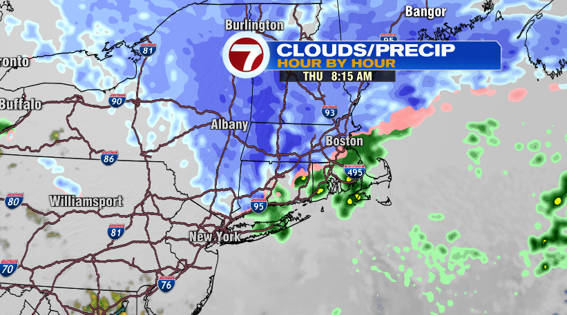
There will be more snow and times of sleet Thursday in the Worcester hills, and that’s where we could end up with a few inches of slushy accumulation by the time the storm is all said and done.
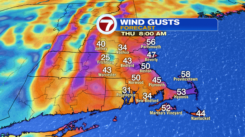
Wind will continue to be an issue Thursday. Many will see gusts 30-40 mph, but on the coast and in the hills, gusts could top 50 mph. Since that’s an onshore wind, we have to watch for minor coasting flooding with the Thursday morning high tide. Power outages can’t be ruled out either, especially in northern Worcester and northwestern Middlesex counties where there’s a couple inches of wet, heavy snow also weighing on branches and power lines.