

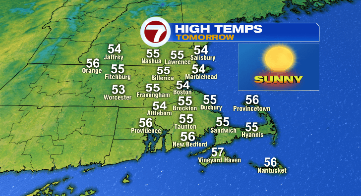
Happy Saturday! Wow it’s chilly! And it’s been about 20 degrees colder than Friday. The wind wasn’t exactly making it feel any warmer, either. Temperatures will tumble tonight, but we warm back up Sunday afternoon with the help of sun.
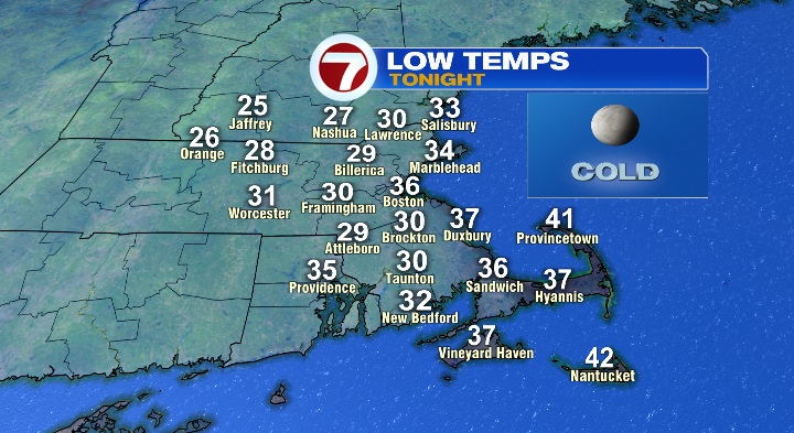
First, evening temperatures will drop from the 40s to the 30s. Overnight, coastal areas will stick to the 30s, but farther inland we could see a few 20s:
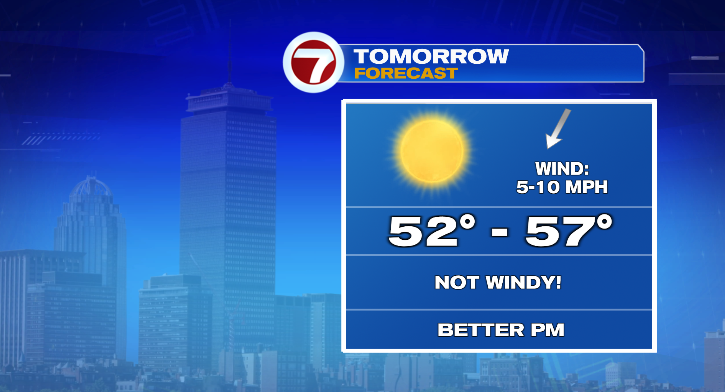
So yes, it’ll be a cold start Sunday. BUT…we won’t have the wind. And with sun, we’ll warm to the mid to upper 50s in the afternoon.
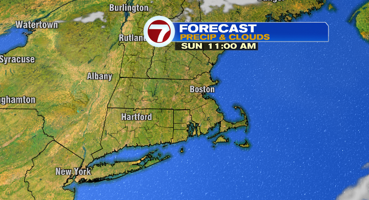
That’s still on the cool side but still much better than we’ve been today.
Monday starts cold again in the 30s. Skies will be brighter in the morning, but a few clouds will roll in as the day progresses. Afternoon highs will reach the upper 50s, and it shouldn’t be too windy again. Heads up on the Cape, and the islands especially, you could see a few showers.
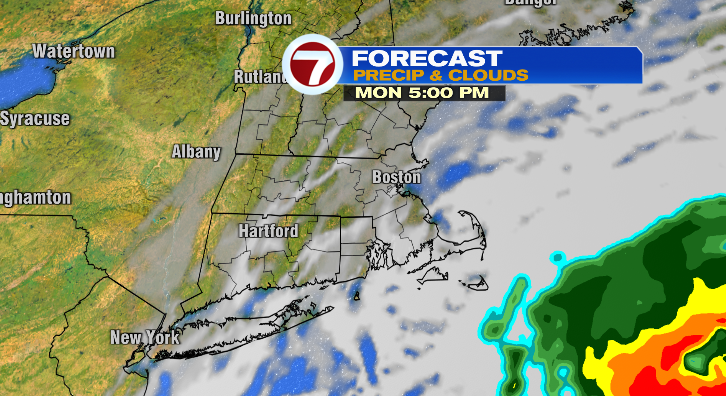
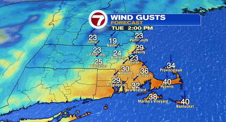
Tuesday morning we drop to the 30s and 40s with afternoon highs in the upper 50s and low 60s. Skies will be partly to mostly cloudy, and the wind will be back with gusts 20-30 mph. There could be more showers on the Cape/islands again.
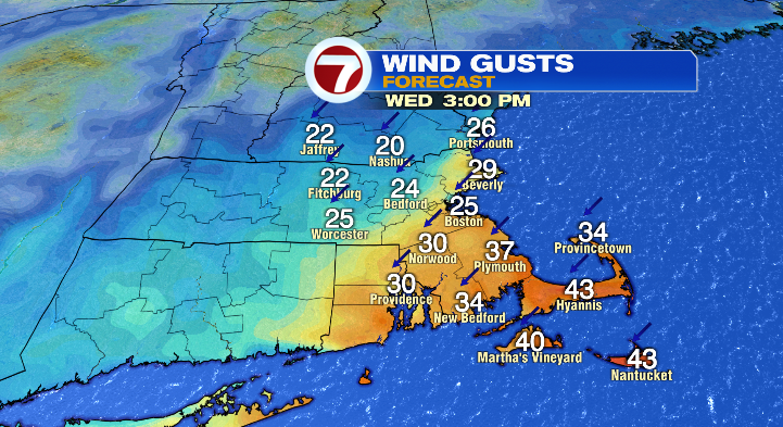
Wednesday morning begins in the 40s with afternoon highs in the mid to upper 50s still. Clouds will be around again, with more gusty winds. There are more chances for showers on the Cape/islands.
Thursday looks to be mostly cloudy with a chance for a few spot showers. The morning starts in the 40s with highs in the upper 50s. It’ll be breezy. Friday: breezy, 40s to near 60 with partly sunny skies. Saturday: 30s to 50s with a sun/cloud mix. Stay tuned!