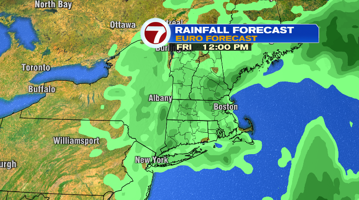
Happy Saturday! Today was one of those days where you hope the forecast doesn’t pan out…but it did! It was a soaker of a day. Thankfully, we’re looking a whole lot drier (and warmer) for your Sunday.
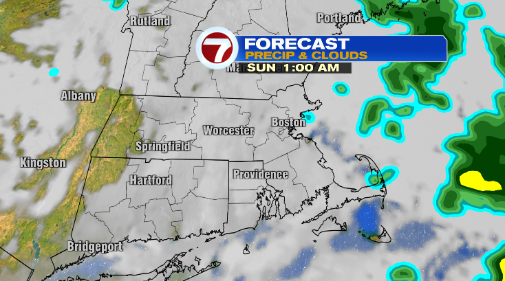
Rain exits tonight. It’ll take until 10/11 p.m. to clear out this evening for eastern Massachusetts, and for the Cape and islands there could be lingering sprinkles as late as midnight/1 a.m. tonight.
Overnight, temperatures will hover in the upper 40s and low 50s.
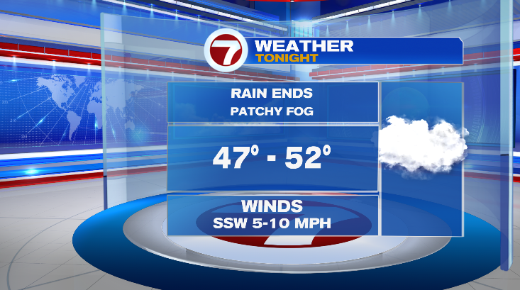
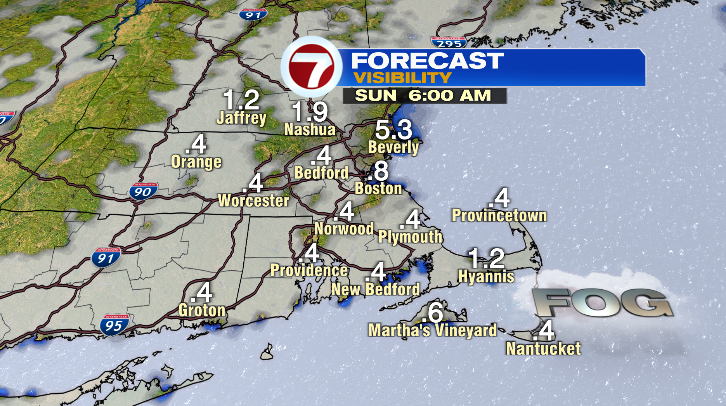
There will be a few areas of patchy fog into Sunday morning, so be careful on the roads.
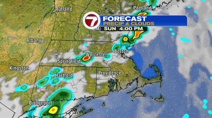
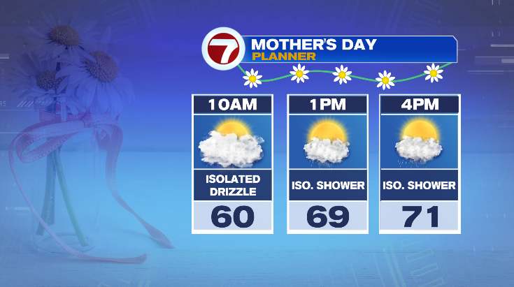
After the fog clears out, there will be some lingering clouds in the morning that may put out some isolated sprinkles or drizzle. Otherwise, much of the day will be dry. From about 1-7 p.m. from the west to the east, there’s a chance for some isolated showers, or even a storm, from a weak cold front moving east. Temperatures will be a lot warmer in the afternoon, into the low 70s for most.
Monday morning there could be a lingering shower on the Cape but most of us look dry and will brighten up in the afternoon. Lows will start in the mid 40s with highs only in the upper 50s. Tuesday: sunny with lows near 40 and highs in the low 60s.
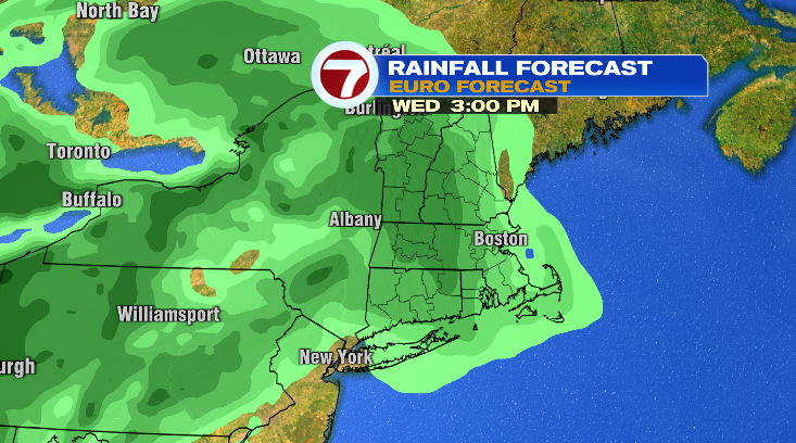
Chances for rain return on Wednesday afternoon with highs in the low 60s.
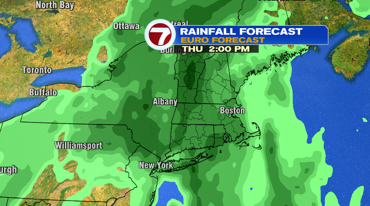
Thursday looks like the wettest day next week with widespread rain and highs in the low 60s again.
Spotty showers will linger into Friday with highs still in the low 60s. Saturday we’re trending drier and warmer. Stay tuned!