

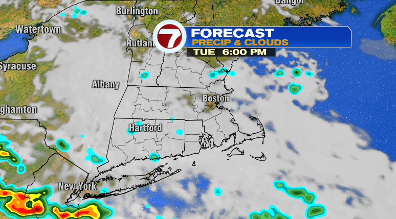
Happy Tuesday! Well….the forecast of rain certainly verified! As we usher into the evening and overnight hours the rain will continually become lighter and more and more isolated.
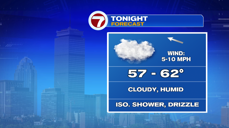
The clouds will stick around overnight with an isolated shower or sprinkle/drizzle. That means it’ll be a humid night with lows into the upper 50s and low 60s.
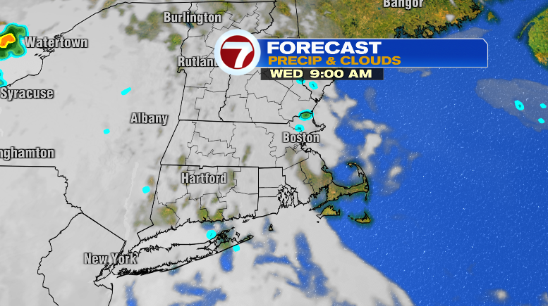
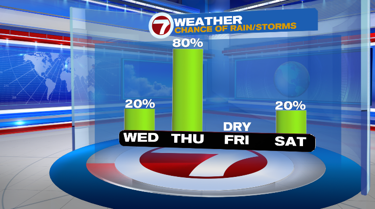
Wednesday will be kind of a strange day. It’ll act as the threshold between the system bringing us rain today and the next system expected to bring us rain and thunderstorms on Thursday. Clouds will be around but they’ll attempt to break up a little bit at times. The clouds may produce isolated drizzle or sprinkles at time. Overall, still much drier and only slightly humid and warmer in the low 70s.
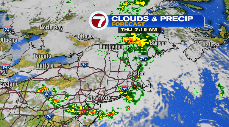
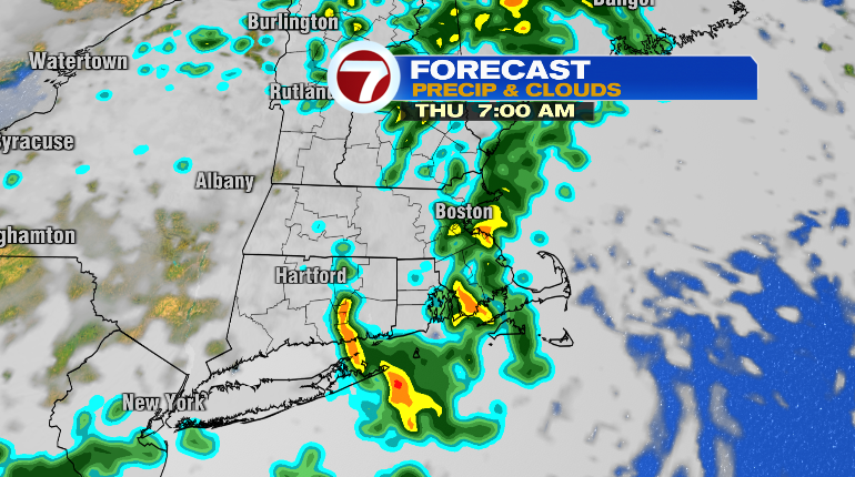
Thursday we’re tracking our next round of rain and thunderstorms, and the humidity will jump right back up with those rain chances. It’ll be mainly cloudy throughout the day with highs in the mid to upper 70s.
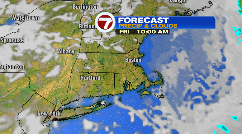
Friday looks brighter! It’s looking partly to mostly sunny, but still that’s much brighter than we’ve been and will be. That’ll allow a warm-up to the low 80s and it’ll be slightly humid with dew points in the low 60s.
The weekend looks spectacular! Sunday will be the pick of the weekend only because of the low-end chance for a spot shower on Saturday. That chance is only about 20-percent with partly sunny skies and cooler highs in the low to mid 70s.
Sunday: lots of sun and in the low 70s. Labor Day is Monday! Right now, it’s looking bright with lows in the 50s and highs in the low 70s. Tuesday will start dry but we have a chance for some showers Tuesday night and into Wednesday.