

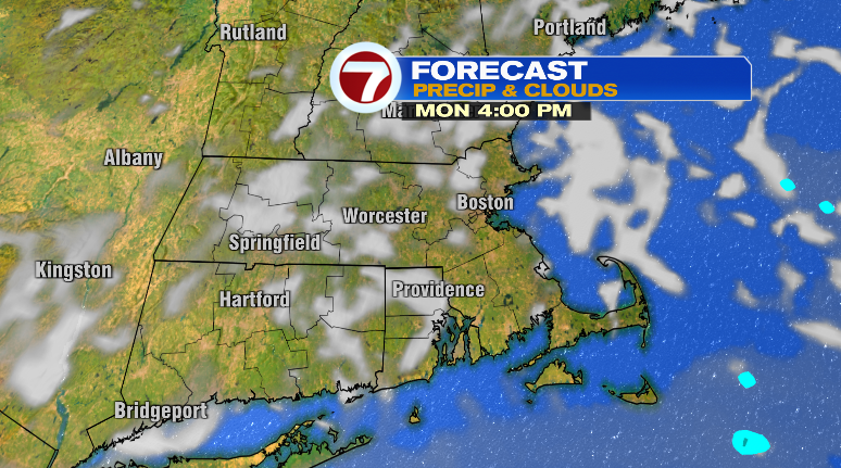
Happy Sunday! What a day! It sure was a hot one, but the humidity dropped like a rock as the day went on. The humidity will stay at bay for a few days before it returns Thursday with storm chances.
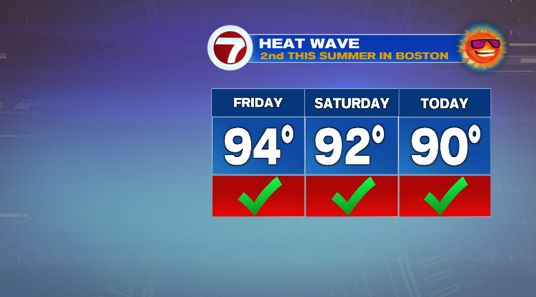
First, Boston-Logan reached 90 degrees today, marking it the second official heat wave of the summer! We hit above 90 on Friday, Saturday and today.
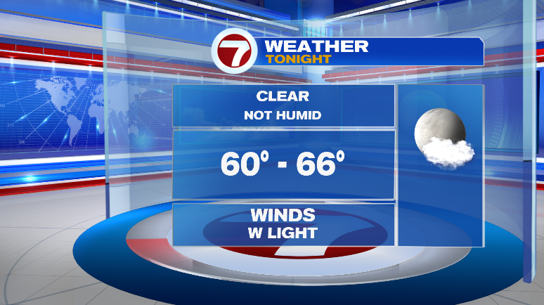
Overnight, we’re cooling off! It won’t be humid and overnight we’ll drop to the low to mid 60s under mostly clear skies. For the first time in a while you can sleep with the windows open, although it’ll still be in the 70s come bedtime.
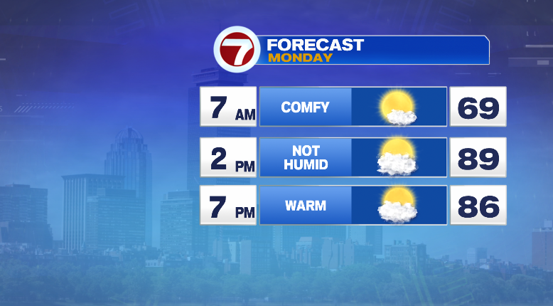
Monday will be a gorgeous day! Highs will jump to the mid to upper 80s, and with dew points in the low 60s, it won’t be overly humid. Clouds will come and go throughout the day.
Tuesday, the balmy weather continues.
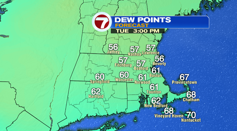
Sun/clouds, highs in the upper 80s and no humidity.
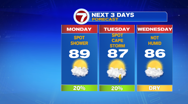
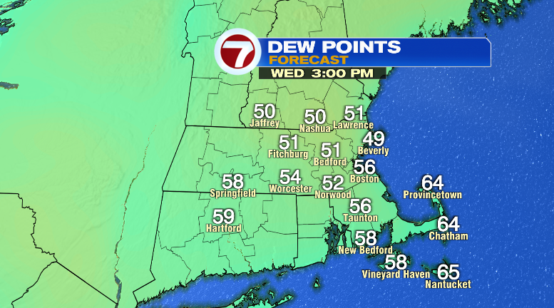
Wednesday will be bone dry! Not even just rain chances. Dew points tumble to the 40s and 50s which is extremely dry for summer. It’ll still be warm, too, in the mid 80s with partly sunny skies.
Thursday, the action returns. We’ll be warm and humid in the mid 80s with clouds around and chances for spotty thunderstorms. Friday, Saturday, Sunday all look amazing and bright, not humid and warm near 80 degrees. Stay tuned!