

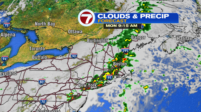
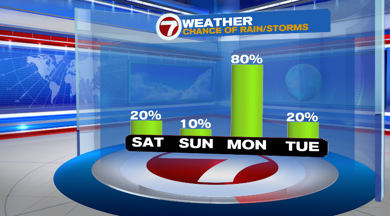
Happy Friday! It’s been a nice day so far. This evening we can’t rule out a spot shower or storm, but this weekend looks mainly dry before a wet start to our new work week.
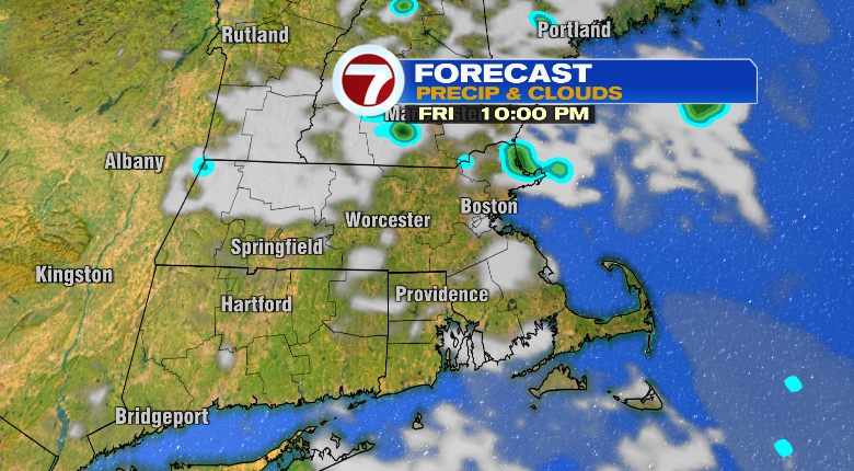
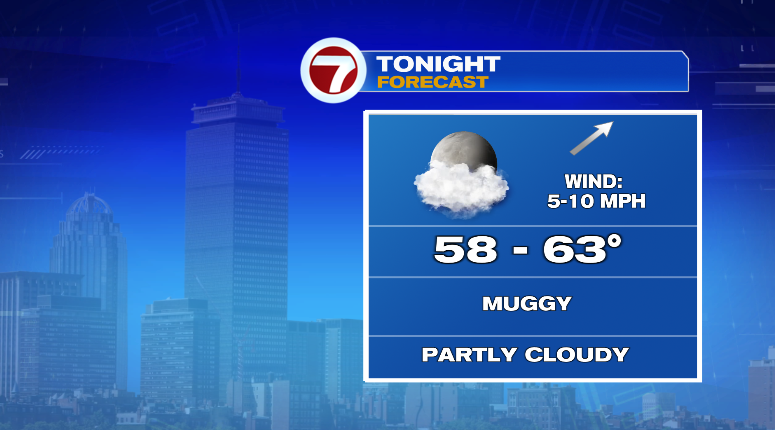
Temperatures this evening will sit in the 70s with overnight lows into the upper 50s and low 60s. It won’t exactly be the best night to keep your windows open as it’s going to be a muggy one.
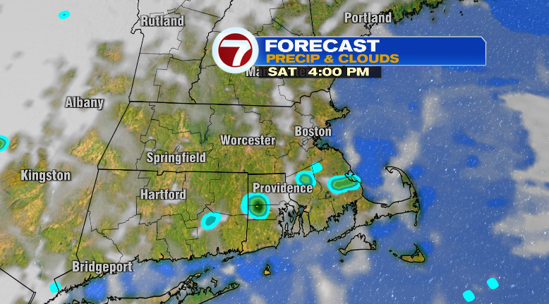
Saturday features variable clouds with warm highs inland in the low to mid 80s and the 70s at the coast. It’ll be incredibly humid, so prepare for it. There’s a very slight chance of a spot shower but that’s about it.
Sunday will still be extremely humid and warm in the low 80s inland and 70s at the coast. Dew points will be in the upper 60s which is oppressively humid. There will be more clouds around and again, we can’t rule out a spot shower but most won’t see that.
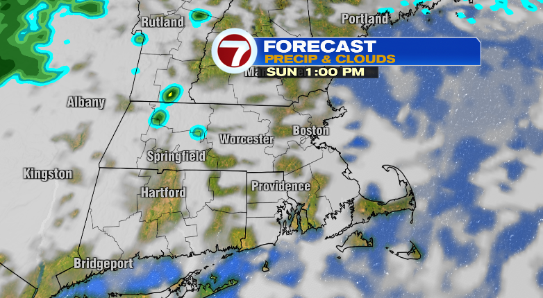
The next best chance for showers and thunderstorms comes Monday. Highs will be warm in the low 80s but that’ll feel like the upper 80s with the humidity. Keep the rain coat handy!
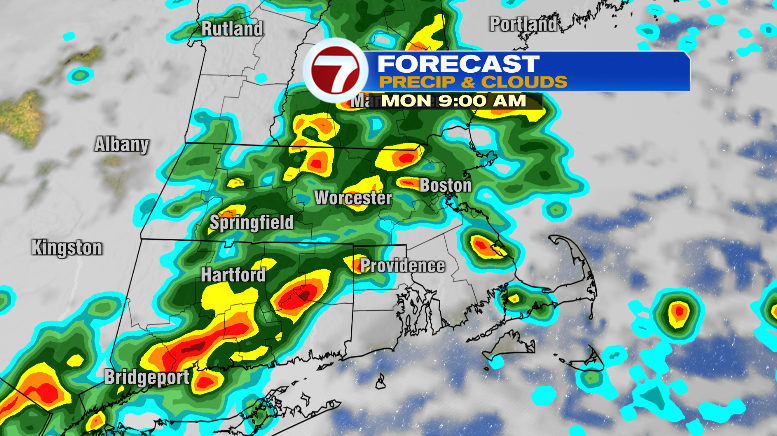
The system could meander around the rest of the week bringing low, spotty chances for some hit-or-miss showers. Tuesday, isolated showers and warm in the low 80s.
Wednesday, isolated storms with highs in the mid 80s but feeling like 90 with the humidity. Thursday looks very warm in the upper 80s, but with extreme humidity, that’ll feel like the upper 90s. There are more chances for spotty storms Friday, too. Stay tuned!