

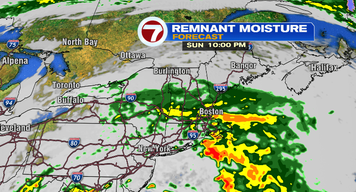
Happy Sunday! It’s a wet one out there, and showers will continue overnight. Most will exit before you wake up Monday morning, and the clouds will exit soon after that.
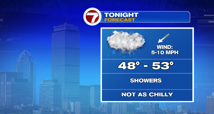
First, get ready for the showers for the rest of this evening with temperatures hovering in the 50s. Overnight lows won’t be nearly as chilly as last night, overall in the upper 40s and low 50s.
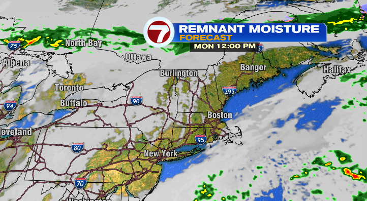
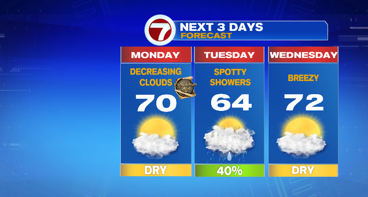
Monday, for the holiday, clouds will linger in the morning but by the afternoon we’re looking at straight sun!
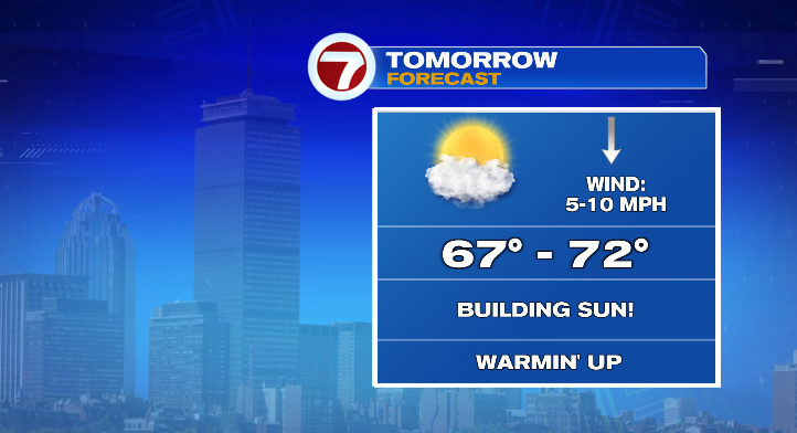
The sun will warm us significantly to the upper 60s and low 70s. Since the clouds take the longest to clear the Cape, they might end up a little cooler in the low to mid 60s. Still, a beautiful 10/10 weather day!
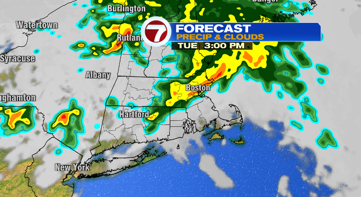
Tuesday morning we start off in the upper 40s and low 50s again, but with ample cloud coverage and some showers randomly on and off throughout the day, we won’t be nearly as warm. Highs will only top off in the low to mid 60s.
Wednesday morning looks mild in the 50s with nice and warmer highs in the low 70s! Skies look partly sunny and it’ll be a bit breezy.
We’ll drop quite a bit Thursday. While it’ll be bright and breezy, lows drop back to the upper 40s and low 50s with highs only reaching the low 60s.
Get ready Friday! We’re tracking some major wind with rain showers as well. Ditch the umbrella for that day and go with the full rain gear instead. The morning starts chilly in the low 40s and we’ll only make it into the low 60s for highs.
The wind sticks around Saturday and that’ll keep us cool. While we can’t rule out an isolated shower or two, much of the day looks dry but you’ll notice the wind all day. That wind will cool us down with lows in the mid 40s but highs only in the low to mid 50s. Sunday looks dry, breezy and chilly! We drop to the 30s in the morning with highs in the low 50s again. Stay tuned!