Happy Tuesday! Wow, what a beautiful day it was! We saw high temperatures sky rocket into the 70s and 80s. And while that felt amazing…it’s not going to last.
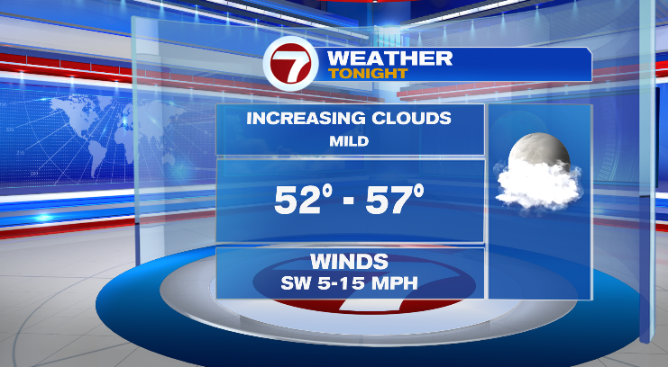
First, evening temperatures will drop back into the 70s and 60s with mild overnight lows in the mid to upper 50s. Skies overnight will feature increasing clouds and it’ll still be a bit windy, too.
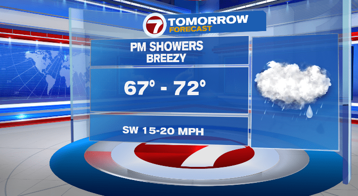
The breeze will stick around for Wednesday! Winds will gust to over 30 mph, especially in the afternoon. Morning temperatures will start in the 50s with afternoon highs into the upper 60s and low 70s. It’ll be noticeably cloudier than today, and we are expecting some widespread rain rolling in for the afternoon after a morning with just a chance for a spot sprinkle.
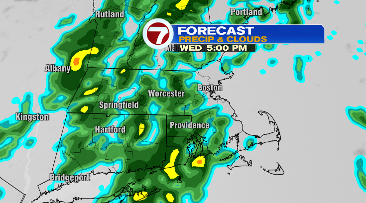
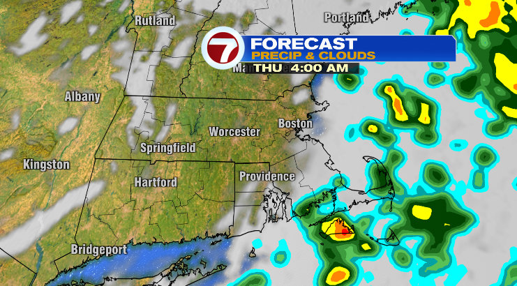
The rain showers will continue into the evening and overnight hours.
Most of us will be dry by the time we wake up on Thursday but there could be a lingering early-morning shower on the Cape still. The rest of Thursday? Brightening up! Morning lows start near 50 degrees with highs into the mid 60s.
Friday looks wonderful, too! Partly sunny skies, breezy again and in the low 60s in the afternoon.
This weekend looks like a 50/50 weekend! The pick of the weekend this time is Sunday. That’s because Saturday we have chances for some scattered showers with cloudy skies. Lows drop to the 40s with highs in the low 60s.
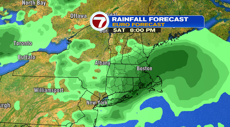
Mother’s day is Sunday and that looks like the best day! Mostly sunny skies with highs into the low 70s. There are some chances for showers in the evening, though.
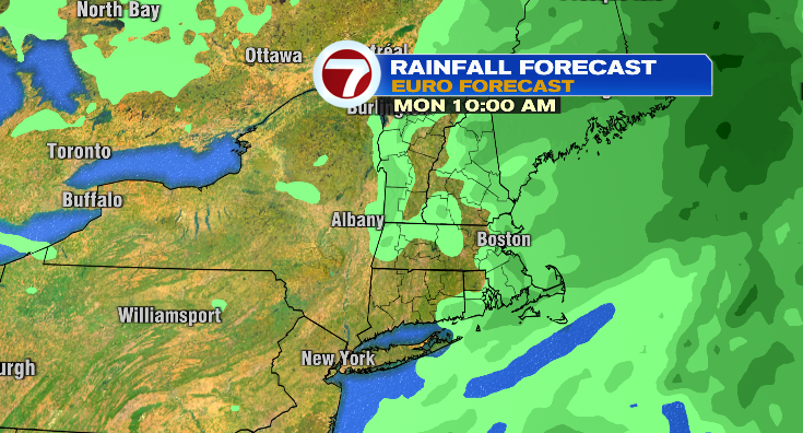
Those rain chances continue into Monday with highs in the low 60s.
Tuesday: cloudy, spot shower and low 60s. Stay tuned!