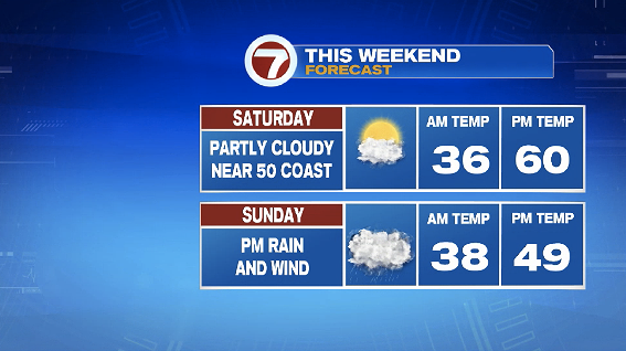
7Weather- Saturday will be a very nice day, and then the wet weather returns Sunday.
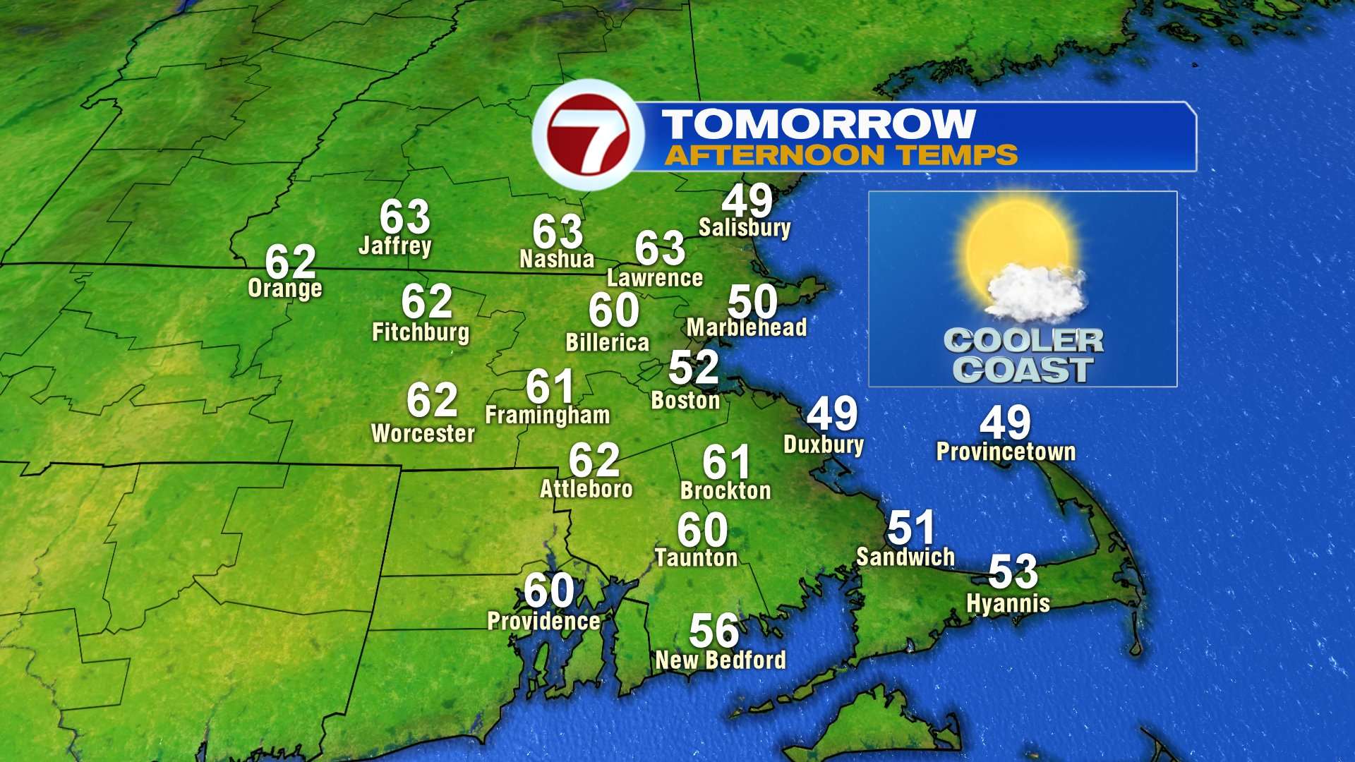
You won’t need the rain gear tomorrow! A high pressure system settles in for the day, giving us dry weather and bright skies. The day starts a little chilly in the 30s, but then we rebound into the 50s and 60s in the afternoon.
Inland towns get into the low 60s, but a mid-morning sea breeze keeps the coast cooler near 50º.
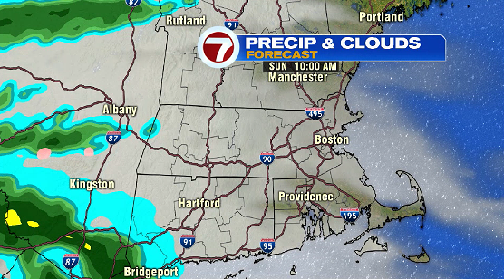
Sunday morning is dry and cloudy. The morning actually looks to be the warmest part of the day with temperatures in the upper 40s. An east wind kicks in, dropping us into the low and mis 40s for the rest of the day.
The wind picks up in the afternoon, and there will be periods of rain after 12-1 PM.
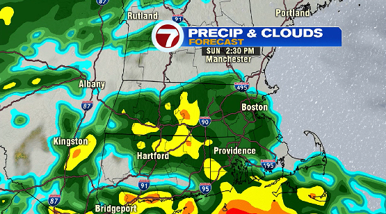
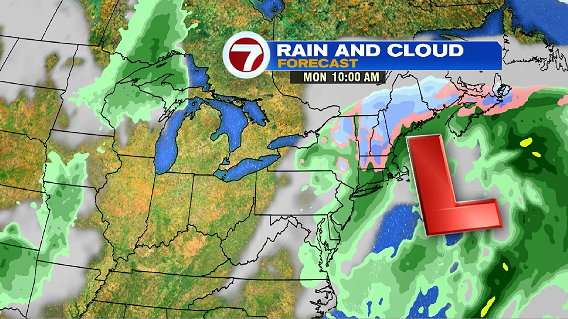
That same system sticks around possibly until early Tuesday morning!
The higher terrain of northern Worcester County and southern New Hampshire may see a switch from rain to snow between 8-11 PM Sunday evening. The best chance for accumulating snow will be in these areas. Stay tuned. It is too early to come up with a snow map for a late April event, but if necessary, we will put one out this weekend.