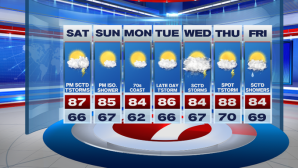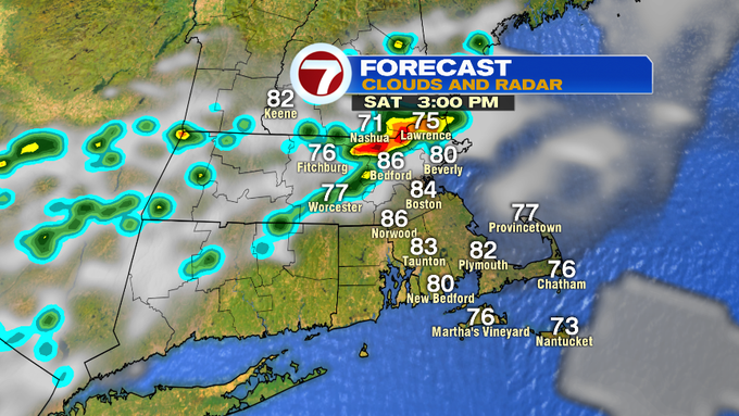
For your Saturday, a few hit or miss thunderstorms are expected, especially along and north of the Pike. These will be mainly focused between 2PM and 7PM. The humidity has also returned today due to the shift in the wind direction to out of the southwest.


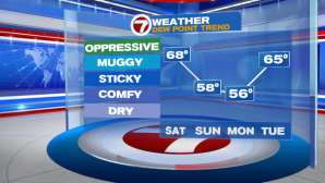
Tonight, expect the muggy conditions to stick around with overnight lows varying in the 60s.

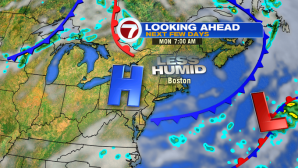
A cold front situated to our northwest will swing through Sunday, ushering in less humid air, but stalls just to the south of region, allowing clouds and a spot sprinkle to pop up over the South Coast and the Cape and Islands. However, those locations do not have to worry about the storms today.

Tomorrow also features another shift in the wind direction, a bit of an onshore breeze for those at the coast will keep temperatures slightly cooler there, otherwise inland, we’re back into the mid 80s under mostly sunny skies!

The dry weather and comfortable conditions stick around for our Monday and most of Tuesday.
Temperatures jump up into the mid to upper 80s the rest of the work week, along with rising dewpoints. Unsettled weather moves in late Tuesday and continues through the end of the work week with the best chance of scattered thunderstorms Wednesday, then a few thunderstorms Thursday, lingering showers into early Friday.